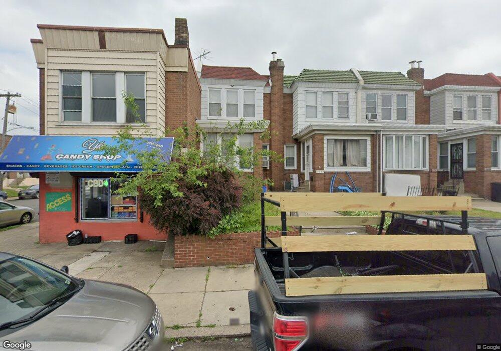
5449 Rutland St Philadelphia, PA 19124
Frankford NeighborhoodEstimated Value: $193,992 - $233,000
3
Beds
1
Bath
1,417
Sq Ft
$149/Sq Ft
Est. Value
About This Home
This home is located at 5449 Rutland St, Philadelphia, PA 19124 and is currently estimated at $211,748, approximately $149 per square foot. 5449 Rutland St is a home located in Philadelphia County with nearby schools including Frankford High School, The Philadelphia Charter School for the Arts & Sciences, and St Martin Of Tours Catholic School.
Ownership History
Date
Name
Owned For
Owner Type
Purchase Details
Closed on
Jun 11, 1998
Sold by
Bonsell Edward and Bonsell Priscilla
Bought by
Byard Evelyn
Current Estimated Value
Purchase Details
Closed on
Jun 27, 1995
Sold by
Nevrincean Victoria and Kowalczyk Stanley A
Bought by
Bonsell Edward
Create a Home Valuation Report for This Property
The Home Valuation Report is an in-depth analysis detailing your home's value as well as a comparison with similar homes in the area
Home Values in the Area
Average Home Value in this Area
Purchase History
| Date | Buyer | Sale Price | Title Company |
|---|---|---|---|
| Byard Evelyn | $56,900 | -- | |
| Bonsell Edward | $28,000 | -- |
Source: Public Records
Tax History Compared to Growth
Tax History
| Year | Tax Paid | Tax Assessment Tax Assessment Total Assessment is a certain percentage of the fair market value that is determined by local assessors to be the total taxable value of land and additions on the property. | Land | Improvement |
|---|---|---|---|---|
| 2026 | $2,126 | $183,100 | $36,620 | $146,480 |
| 2025 | $2,126 | $183,100 | $36,620 | $146,480 |
| 2024 | $2,126 | $183,100 | $36,620 | $146,480 |
| 2023 | $2,126 | $151,900 | $30,300 | $121,600 |
| 2022 | $1,068 | $106,900 | $30,300 | $76,600 |
| 2021 | $1,698 | $0 | $0 | $0 |
| 2020 | $1,698 | $0 | $0 | $0 |
| 2019 | $1,629 | $0 | $0 | $0 |
| 2018 | $1,438 | $0 | $0 | $0 |
| 2017 | $1,438 | $0 | $0 | $0 |
| 2016 | $1,018 | $0 | $0 | $0 |
| 2015 | $974 | $0 | $0 | $0 |
| 2014 | -- | $102,700 | $19,142 | $83,558 |
| 2012 | -- | $13,760 | $1,188 | $12,572 |
Source: Public Records
Map
Nearby Homes
- 1431 Rosalie St
- 1209 E Sanger St
- 5902 E Roosevelt Blvd
- 1137 Bridge St
- 1048 Bridge St
- 7753 E Roosevelt Blvd
- 5347 Sylvester St
- 1244 E Sanger St
- 7600 E Roosevelt Blvd Unit 206
- 7600 E Roosevelt Blvd Unit 212
- 7600 E Roosevelt Blvd Unit 909
- 7600 E Roosevelt Blvd Unit 705
- 7600 E Roosevelt Blvd Unit 701
- 7600 E Roosevelt Blvd Unit 806
- 7600 E Roosevelt Blvd Unit 904
- 7600 E Roosevelt Blvd Unit 604
- 6632 E Roosevelt Blvd
- 7040 E Roosevelt Blvd
- 7536 E Roosevelt Blvd
- 6840 E Roosevelt Blvd
- 5445 Rutland St
- 5447 Rutland St
- 5443 Rutland St
- 5441 Rutland St
- 5439 Rutland St
- 5437 Rutland St
- 5435 Rutland St
- 5433 Rutland St
- 5444 Large St
- 5446 Large St
- 5442 Large St
- 5448 Large St
- 5440 Large St
- 5431 Rutland St
- 5438 Large St
- 5450 Large St
- 5436 Large St
- 5429 Rutland St
- 5434 Large St
- 5446 Rutland St