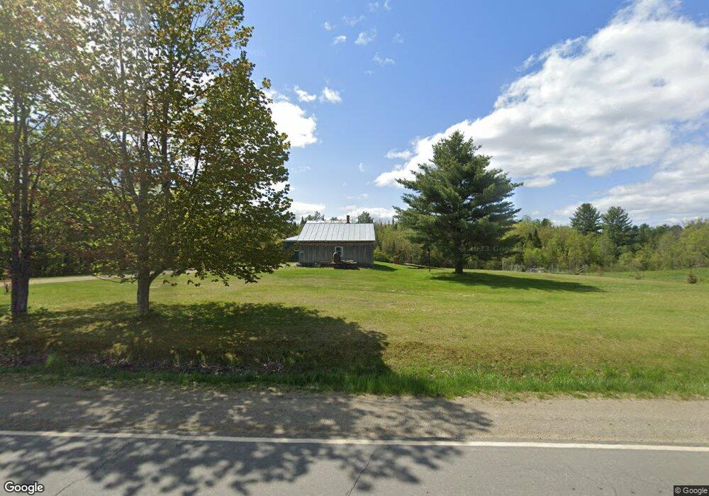
545 Anson Rd Starks, ME 04911
Estimated Value: $197,639 - $304,000
4
Beds
2
Baths
1,680
Sq Ft
$144/Sq Ft
Est. Value
About This Home
This home is located at 545 Anson Rd, Starks, ME 04911 and is currently estimated at $242,660, approximately $144 per square foot. 545 Anson Rd is a home located in Somerset County with nearby schools including Madison Area Memorial High School.
Create a Home Valuation Report for This Property
The Home Valuation Report is an in-depth analysis detailing your home's value as well as a comparison with similar homes in the area
Tax History
| Year | Tax Paid | Tax Assessment Tax Assessment Total Assessment is a certain percentage of the fair market value that is determined by local assessors to be the total taxable value of land and additions on the property. | Land | Improvement |
|---|---|---|---|---|
| 2024 | $1,399 | $97,160 | $13,540 | $83,620 |
| 2023 | $1,355 | $97,160 | $13,540 | $83,620 |
| 2022 | $1,234 | $97,160 | $13,540 | $83,620 |
| 2021 | $1,342 | $97,160 | $13,540 | $83,620 |
| 2020 | $1,530 | $97,160 | $13,540 | $83,620 |
| 2019 | $1,510 | $80,960 | $11,280 | $69,680 |
| 2018 | $1,425 | $80,960 | $11,280 | $69,680 |
| 2017 | $1,356 | $80,960 | $11,280 | $69,680 |
| 2016 | $1,263 | $64,782 | $9,040 | $55,742 |
| 2015 | $1,296 | $64,782 | $9,040 | $55,742 |
| 2014 | $1,263 | $64,782 | $9,040 | $55,742 |
| 2013 | $1,279 | $64,782 | $9,040 | $55,742 |
Source: Public Records
Map
Nearby Homes
- 735 Sandy River Rd
- 78 Fording Rd
- 1.3 Mayhew Rd
- map6 lot1 Mayhew Rd
- Map6 lot2 Mayhew Rd
- 17 Anson Rd
- 8 Magnolia Ln
- 257 Sawyers Mills Rd
- 1648 New Sharon Rd
- Lot 2-1 Father Rasle Rd
- 88 Childs Rd
- 0 Poor Farm Rd Unit 1637355
- 83 Preble Ave
- 24 Locust St
- 94 Old Point Ave
- 8 Preble Ave
- 88 Pine St
- 62 Old Point Ave
- M19 L57-58 Old Point Ave
- 95 Main St
Your Personal Tour Guide
Ask me questions while you tour the home.