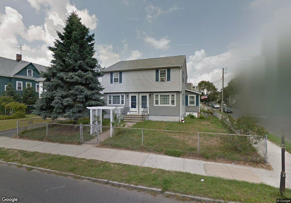
545 Armory St Unit 547 Springfield, MA 01104
Liberty Heights NeighborhoodEstimated Value: $290,754 - $389,000
4
Beds
2
Baths
1,824
Sq Ft
$197/Sq Ft
Est. Value
About This Home
This home is located at 545 Armory St Unit 547, Springfield, MA 01104 and is currently estimated at $358,439, approximately $196 per square foot. 545 Armory St Unit 547 is a home located in Hampden County with nearby schools including Glenwood School, Van Sickle Academy, and High School Of Commerce.
Ownership History
Date
Name
Owned For
Owner Type
Purchase Details
Closed on
May 27, 1987
Sold by
M W Fairfax Bldrs
Bought by
Pelletier Gerald H
Current Estimated Value
Home Financials for this Owner
Home Financials are based on the most recent Mortgage that was taken out on this home.
Original Mortgage
$96,800
Interest Rate
10.25%
Mortgage Type
Purchase Money Mortgage
Create a Home Valuation Report for This Property
The Home Valuation Report is an in-depth analysis detailing your home's value as well as a comparison with similar homes in the area
Home Values in the Area
Average Home Value in this Area
Purchase History
| Date | Buyer | Sale Price | Title Company |
|---|---|---|---|
| Pelletier Gerald H | $121,000 | -- |
Source: Public Records
Mortgage History
| Date | Status | Borrower | Loan Amount |
|---|---|---|---|
| Open | Pelletier Gerald H | $80,000 | |
| Closed | Pelletier Gerald H | $95,400 | |
| Closed | Pelletier Gerald H | $96,800 |
Source: Public Records
Tax History
| Year | Tax Paid | Tax Assessment Tax Assessment Total Assessment is a certain percentage of the fair market value that is determined by local assessors to be the total taxable value of land and additions on the property. | Land | Improvement |
|---|---|---|---|---|
| 2025 | $4,249 | $271,000 | $37,700 | $233,300 |
| 2024 | $3,914 | $243,700 | $37,700 | $206,000 |
| 2023 | $3,483 | $204,300 | $33,300 | $171,000 |
| 2022 | $3,139 | $166,800 | $31,200 | $135,600 |
| 2021 | $3,190 | $168,800 | $28,300 | $140,500 |
| 2020 | $3,041 | $155,700 | $28,300 | $127,400 |
| 2019 | $2,860 | $145,300 | $23,500 | $121,800 |
| 2018 | $2,562 | $130,200 | $23,500 | $106,700 |
| 2017 | $2,534 | $128,900 | $24,900 | $104,000 |
| 2016 | $2,426 | $123,400 | $24,900 | $98,500 |
| 2015 | $2,339 | $118,900 | $24,900 | $94,000 |
Source: Public Records
Map
Nearby Homes
- 571-573 Carew St
- 708-710 Carew St
- 121 Wait St
- 118 Wait St
- 127 Governor St
- 24 Melha Ave
- 774-776 Liberty St
- 211-213 Chapin Terrace
- 28-30 Cherrelyn St
- 148-150 Stafford St
- 116 Stockman St
- 491-493 Newbury St
- 113 Lexington St
- 14-16 Wolcott St
- 57 Narragansett St
- 35-37 Narragansett St
- 85 Narragansett St
- 119 Littleton St
- 14 Crane St
- 78 Prospect St
- 551 Armory St
- 14 Governor St
- 535 Armory St
- 555 Armory St Unit 557
- 18 Governor St Unit 20
- 18-20 Governor St
- 11 Wait St Unit 13
- 11 Governor St
- 544 Armory St Unit 546
- 544-546 Armory St
- 548 Armory St Unit 550
- 529 Armory St Unit 531
- 529-531 Armory St
- 561 Armory St Unit 563
- 540 Armory St
- 534 Armory St
- 534 Armory St Unit 2
- 552 Armory St Unit 554
- 24 Governor St
- 17-19 Governor St
Your Personal Tour Guide
Ask me questions while you tour the home.