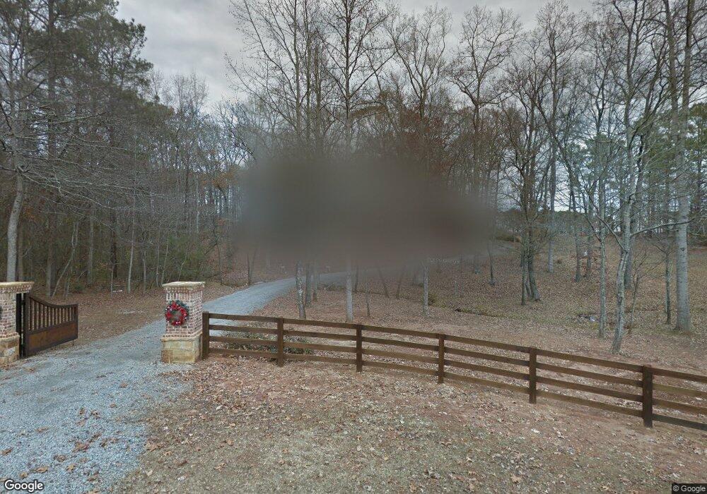
545 Dobbs Rd Unit 933 Woodstock, GA 30188
Estimated Value: $1,083,000 - $1,377,000
4
Beds
4
Baths
2,932
Sq Ft
$409/Sq Ft
Est. Value
About This Home
This home is located at 545 Dobbs Rd Unit 933, Woodstock, GA 30188 and is currently estimated at $1,199,387, approximately $409 per square foot. 545 Dobbs Rd Unit 933 is a home located in Cherokee County with nearby schools including Woodstock Elementary School, Woodstock Middle School, and Woodstock High School.
Ownership History
Date
Name
Owned For
Owner Type
Purchase Details
Closed on
Jul 23, 2020
Sold by
Draughon David
Bought by
Lorenz Family 2012 Revocable Living Trus
Current Estimated Value
Purchase Details
Closed on
Jun 23, 2016
Sold by
Duncan Sharon L
Bought by
Draughon Bonnie and Draughon David
Home Financials for this Owner
Home Financials are based on the most recent Mortgage that was taken out on this home.
Original Mortgage
$360,800
Interest Rate
3.64%
Mortgage Type
New Conventional
Create a Home Valuation Report for This Property
The Home Valuation Report is an in-depth analysis detailing your home's value as well as a comparison with similar homes in the area
Home Values in the Area
Average Home Value in this Area
Purchase History
| Date | Buyer | Sale Price | Title Company |
|---|---|---|---|
| Lorenz Family 2012 Revocable Living Trus | $880,000 | -- | |
| Draughon Bonnie | $451,000 | -- |
Source: Public Records
Mortgage History
| Date | Status | Borrower | Loan Amount |
|---|---|---|---|
| Previous Owner | Draughon Bonnie | $360,800 |
Source: Public Records
Tax History Compared to Growth
Tax History
| Year | Tax Paid | Tax Assessment Tax Assessment Total Assessment is a certain percentage of the fair market value that is determined by local assessors to be the total taxable value of land and additions on the property. | Land | Improvement |
|---|---|---|---|---|
| 2024 | $9,296 | $497,104 | $99,000 | $398,104 |
| 2023 | $9,763 | $505,024 | $99,000 | $406,024 |
| 2022 | $13,228 | $505,504 | $156,000 | $349,504 |
| 2021 | $9,714 | $342,184 | $57,880 | $284,304 |
| 2020 | $5,737 | $201,896 | $53,560 | $148,336 |
| 2019 | $4,625 | $162,760 | $41,240 | $121,520 |
| 2018 | $3,901 | $136,440 | $33,000 | $103,440 |
| 2017 | $2,770 | $288,900 | $33,000 | $82,560 |
| 2016 | $2,770 | $247,800 | $33,000 | $66,120 |
| 2015 | $2,221 | $194,600 | $10,760 | $67,080 |
| 2014 | $2,051 | $179,800 | $10,760 | $61,160 |
Source: Public Records
Map
Nearby Homes
- 163 Kingwood Dr
- 444 Hathaway Ave
- 405 Nettle Ct
- The Mew Townhome Plan at Ruisseau
- 204 Melanie Ln
- 312 Thistle Ct
- 114 Parks Cir
- 222 Briar Hollow Ln
- 109 Linton St
- 201 Dobbs Rd
- 8175 Main St
- 8255 Main St Unit 2
- 8200 Main St Unit 1208
- 8200 Main St Unit 1206
- 8200 Main St Unit 1306
- 8212 Main St Unit 1202
- 68 Linton St
- 64 Linton St
- 545 Dobbs Rd
- 418 Hathaway Ave
- 501 Dobbs Rd
- 424 Hathaway Ave Unit 75
- 424 Hathaway Ave
- 416 Hathaway Ave
- 414 Hathaway Ave
- 455 Hathaway Ave Unit 63
- 455 Hathaway Ave
- 0 Hathaway Ave Unit 8712362
- 0 Hathaway Ave Unit 8555165
- 0 Hathaway Ave Unit 8648568
- 0 Hathaway Ave Unit 8799567
- 0 Hathaway Ave Unit 8835432
- 0 Hathaway Ave Unit 8916543
- 0 Hathaway Ave Unit 8128950
- 0 Hathaway Ave
- 412 Hathaway Ave
- 426 Hathaway Ave Unit 74
- 426 Hathaway Ave