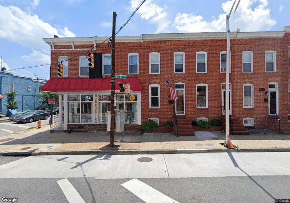
545 E Fort Ave Baltimore, MD 21230
Riverside NeighborhoodEstimated Value: $326,733 - $385,000
2
Beds
2
Baths
1,206
Sq Ft
$295/Sq Ft
Est. Value
About This Home
This home is located at 545 E Fort Ave, Baltimore, MD 21230 and is currently estimated at $355,867, approximately $295 per square foot. 545 E Fort Ave is a home located in Baltimore City with nearby schools including Thomas Johnson Elementary School, Booker T. Washington Middle School, and Digital Harbor High School.
Ownership History
Date
Name
Owned For
Owner Type
Purchase Details
Closed on
Mar 24, 2011
Sold by
Gowl Lottie and Estate Of Michael J Gowl
Bought by
Fata Scott
Current Estimated Value
Home Financials for this Owner
Home Financials are based on the most recent Mortgage that was taken out on this home.
Original Mortgage
$277,775
Outstanding Balance
$194,942
Interest Rate
5.25%
Mortgage Type
FHA
Estimated Equity
$160,925
Purchase Details
Closed on
Apr 9, 1997
Sold by
Peters Joseph
Bought by
Gowl Michael J
Create a Home Valuation Report for This Property
The Home Valuation Report is an in-depth analysis detailing your home's value as well as a comparison with similar homes in the area
Home Values in the Area
Average Home Value in this Area
Purchase History
| Date | Buyer | Sale Price | Title Company |
|---|---|---|---|
| Fata Scott | $285,000 | King Title Company Inc | |
| Gowl Michael J | $69,900 | -- |
Source: Public Records
Mortgage History
| Date | Status | Borrower | Loan Amount |
|---|---|---|---|
| Open | Fata Scott | $277,775 |
Source: Public Records
Tax History
| Year | Tax Paid | Tax Assessment Tax Assessment Total Assessment is a certain percentage of the fair market value that is determined by local assessors to be the total taxable value of land and additions on the property. | Land | Improvement |
|---|---|---|---|---|
| 2025 | $5,500 | $253,767 | -- | -- |
| 2024 | $5,500 | $253,333 | -- | -- |
| 2023 | $5,479 | $252,900 | $80,000 | $172,900 |
| 2022 | $5,463 | $251,767 | $0 | $0 |
| 2021 | $5,915 | $250,633 | $0 | $0 |
| 2020 | $5,409 | $249,500 | $80,000 | $169,500 |
| 2019 | $5,302 | $246,133 | $0 | $0 |
| 2018 | $5,306 | $242,767 | $0 | $0 |
| 2017 | $5,302 | $239,400 | $0 | $0 |
| 2016 | $5,573 | $233,567 | $0 | $0 |
| 2015 | $5,573 | $227,733 | $0 | $0 |
| 2014 | $5,573 | $221,900 | $0 | $0 |
Source: Public Records
Map
Nearby Homes
- 616 Hyson St
- 1600 Jackson St
- 1311 Belt St
- 442 E Fort Ave
- 443 E Gittings St
- 432 E Clement St
- 435 E Gittings St
- 405 E Clement St
- 1225 Harbor Island Walk
- 1220 Harbor Island Walk
- 23 Pierside Dr Unit 118
- 23 Pierside Dr Unit 326
- 23 Pierside Dr Unit 324
- 23 Pierside Dr Unit 413
- 23 Pierside Dr Unit 311
- 214 E Fort Ave
- 100 Harborview Dr Unit 212
- 100 Harborview Dr Unit 814
- 100 Harborview Dr Unit 513
- 100 Harborview Dr Unit 211
- 543 E Fort Ave
- 547 E Fort Ave
- 547 E Fort Ave Unit 2
- 541 E Fort Ave
- 539 E Fort Ave
- 537 E Fort Ave
- 1500 Jackson St
- 535 E Fort Ave
- 1502 Jackson St
- 533 E Fort Ave
- 1504 Jackson St
- 531 E Fort Ave
- 1506 Jackson St
- 529 E Fort Ave
- 601 E Fort Ave
- 1501 Belt St
- 527 E Fort Ave
- 1508 Jackson St
- 1503 Belt St
- 607 E Fort Ave
Your Personal Tour Guide
Ask me questions while you tour the home.