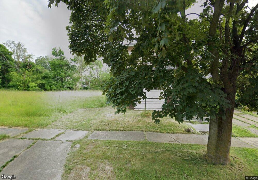
545 E Jamieson St Flint, MI 48505
King Avenue Plus NeighborhoodEstimated Value: $49,000
7
Beds
3
Baths
2,408
Sq Ft
$20/Sq Ft
Est. Value
About This Home
This home is located at 545 E Jamieson St, Flint, MI 48505 and is currently estimated at $49,000, approximately $20 per square foot. 545 E Jamieson St is a home located in Genesee County with nearby schools including Brownell STEM Academy, Flint Cultural Center Academy, and Greater Heights Academy.
Ownership History
Date
Name
Owned For
Owner Type
Purchase Details
Closed on
Dec 17, 2015
Sold by
Genesee County
Bought by
Genesee County Land Bank
Current Estimated Value
Purchase Details
Closed on
Nov 2, 2005
Sold by
Mowatt Cynthia
Bought by
Lasalle Bank National Assn and Structured Asset Securities Corp
Purchase Details
Closed on
Sep 26, 2002
Sold by
Cooke Louise
Bought by
Mowatt Cynthia
Purchase Details
Closed on
Apr 20, 2000
Sold by
Cooke L
Bought by
Mowatt Cynthia
Create a Home Valuation Report for This Property
The Home Valuation Report is an in-depth analysis detailing your home's value as well as a comparison with similar homes in the area
Home Values in the Area
Average Home Value in this Area
Purchase History
| Date | Buyer | Sale Price | Title Company |
|---|---|---|---|
| Genesee County Land Bank | -- | None Available | |
| Lasalle Bank National Assn | $66,508 | None Available | |
| Mowatt Cynthia | -- | Titlequest Agency | |
| Mowatt Cynthia | -- | -- |
Source: Public Records
Tax History
| Year | Tax Paid | Tax Assessment Tax Assessment Total Assessment is a certain percentage of the fair market value that is determined by local assessors to be the total taxable value of land and additions on the property. | Land | Improvement |
|---|---|---|---|---|
| 2025 | -- | $0 | $0 | $0 |
| 2024 | -- | $0 | $0 | $0 |
| 2023 | -- | $0 | $0 | $0 |
| 2022 | $0 | $0 | $0 | $0 |
| 2021 | $0 | $0 | $0 | $0 |
| 2020 | $0 | $0 | $0 | $0 |
| 2019 | $0 | $0 | $0 | $0 |
| 2018 | $0 | $0 | $0 | $0 |
| 2017 | $0 | $0 | $0 | $0 |
| 2016 | $0 | $0 | $0 | $0 |
| 2015 | -- | $0 | $0 | $0 |
| 2014 | -- | $0 | $0 | $0 |
| 2012 | -- | $18,300 | $0 | $0 |
Source: Public Records
Map
Nearby Homes
- 218 E Jackson Ave
- 3810 Marvin St
- 115 E Genesee St
- 902 Addison St
- 906 Addison St
- 132 W Jamieson St
- 200 W Mcclellan St
- 217 W Dewey St
- 4028 North St
- 115 W Baker St
- 2217 Francis Ave
- 320 W Mcclellan St
- 409 W Genesee St
- 432 W Dartmouth St
- 429 Page St
- 605 E Baltimore Blvd
- 1710 Wilberforce Cir
- 1706 Wilberforce Cir
- 124 W Flint Park Blvd
- 3422 Race St
- 601 E Jamieson St
- 541 E Jamieson St
- 546 E Dewey St
- 602 E Dewey St
- 542 E Dewey St
- 606 E Dewey St
- 538 E Dewey St
- 534 E Dewey St
- 529 E Jamieson St Unit Bldg-Unit
- 529 E Jamieson St
- 546 E Jamieson St
- 542 E Jamieson St
- 606 E Jamieson St
- 538 E Jamieson St
- 614 E Dewey St
- 530 E Dewey St
- 525 E Jamieson St
- 610 E Jamieson St
- 534 E Jamieson St
- 618 E Dewey St
Your Personal Tour Guide
Ask me questions while you tour the home.