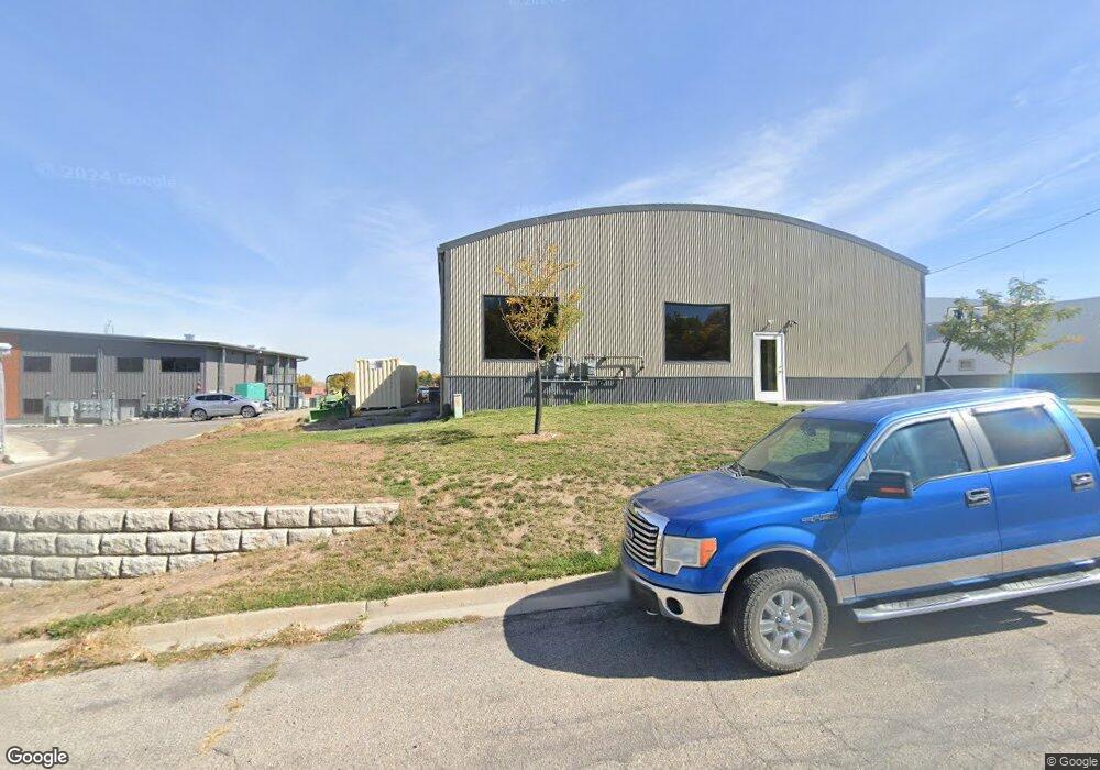
545 E Main St Lander, WY 82520
Estimated Value: $848,145
Studio
--
Bath
6,250
Sq Ft
$136/Sq Ft
Est. Value
About This Home
This home is located at 545 E Main St, Lander, WY 82520 and is currently estimated at $848,145, approximately $135 per square foot. 545 E Main St is a home located in Fremont County with nearby schools including Lander Valley High School, Elevation Academy, and Lander Christian Academy.
Ownership History
Date
Name
Owned For
Owner Type
Purchase Details
Closed on
Feb 1, 2023
Sold by
Grace Reformed Fellowship
Bought by
Lander Spaces Llc
Current Estimated Value
Home Financials for this Owner
Home Financials are based on the most recent Mortgage that was taken out on this home.
Original Mortgage
$600,000
Outstanding Balance
$478,931
Interest Rate
6.27%
Mortgage Type
New Conventional
Estimated Equity
$369,214
Purchase Details
Closed on
Nov 9, 2021
Sold by
Skaha Real Estate Llc
Bought by
Grace Reformed Fellowship
Home Financials for this Owner
Home Financials are based on the most recent Mortgage that was taken out on this home.
Original Mortgage
$261,534
Interest Rate
3.01%
Mortgage Type
Commercial
Create a Home Valuation Report for This Property
The Home Valuation Report is an in-depth analysis detailing your home's value as well as a comparison with similar homes in the area
Home Values in the Area
Average Home Value in this Area
Purchase History
| Date | Buyer | Sale Price | Title Company |
|---|---|---|---|
| Lander Spaces Llc | -- | -- | |
| Grace Reformed Fellowship | -- | None Available |
Source: Public Records
Mortgage History
| Date | Status | Borrower | Loan Amount |
|---|---|---|---|
| Open | Lander Spaces Llc | $600,000 | |
| Previous Owner | Grace Reformed Fellowship | $261,534 |
Source: Public Records
Tax History
| Year | Tax Paid | Tax Assessment Tax Assessment Total Assessment is a certain percentage of the fair market value that is determined by local assessors to be the total taxable value of land and additions on the property. | Land | Improvement |
|---|---|---|---|---|
| 2025 | $2,454 | $125,381 | $4,687 | $120,694 |
| 2024 | $2,454 | $31,796 | $4,687 | $27,109 |
| 2022 | $1,692 | $22,580 | $4,687 | $17,893 |
| 2021 | $1,748 | $20,182 | $4,687 | $15,495 |
| 2020 | $1,479 | $19,142 | $4,687 | $14,455 |
| 2019 | $1,481 | $18,865 | $4,672 | $14,193 |
Source: Public Records
Map
Nearby Homes
- 685 Cedar St
- 400 S 1st St
- 108 Canyon St
- E Main (17 1 + - Acres)
- 0 E Main (17 1 + - Acres) Unit 20256293
- 275 Cascade St
- 1100 Pronghorn Dr
- 975 S 2nd St
- 1072 Pronghorn Dr
- 1062 Pronghorn Dr
- 625 Cottonwood Ln
- 500 Brodie St
- 106 Rail Ln
- 1520 Rodeo Dr
- 385 Wood St
- 442 Eugene St
- Lot 14 Sandy Ct
- 764 N 4th St
- 537 Market St
- 1105 N 2nd St
- 555 E Main St
- 301 Bellvue Ave
- 301 Bellvue Ave Unit Chase Drive
- 200 Del St Unit Chase
- 309 Del St
- 309 Bellvue Ave
- 306 Bellvue Ave
- 306 Bellvue Ave Unit Chase Dr.
- 0 Highway 789
- 000 Highway 789
- 317 Bellvue Ave
- 180 Chase Dr
- 317 Del St
- 316 Bellvue Ave
- 306 Del St
- 325 Bellvue Ave
- No situs Highway 287
- 333 Del St
- 320 Bellvue Ave
- 333 Bellvue Ave
Your Personal Tour Guide
Ask me questions while you tour the home.