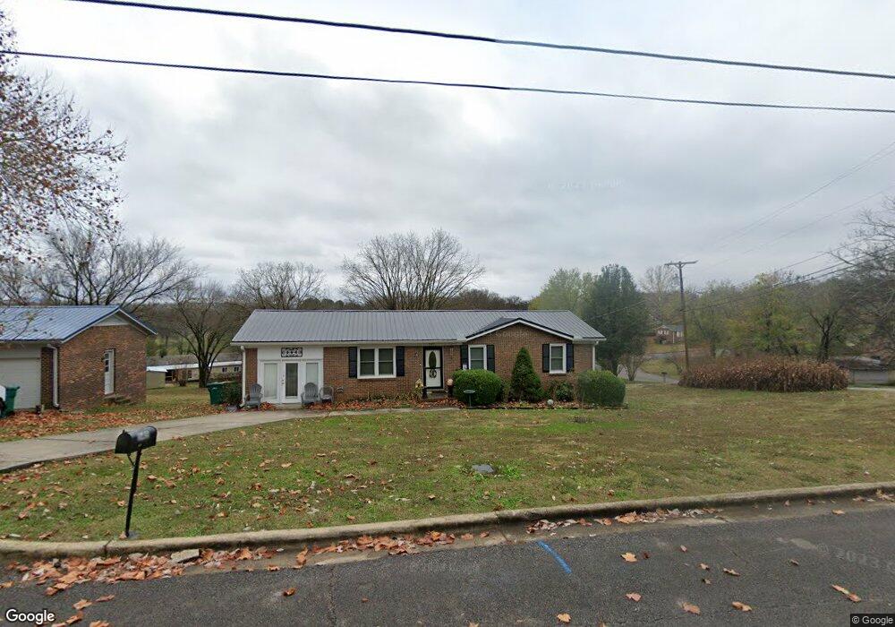
545 Forest St Lewisburg, TN 37091
Estimated Value: $207,482 - $280,000
Studio
1
Bath
1,375
Sq Ft
$169/Sq Ft
Est. Value
About This Home
This home is located at 545 Forest St, Lewisburg, TN 37091 and is currently estimated at $232,871, approximately $169 per square foot. 545 Forest St is a home located in Marshall County with nearby schools including Marshall Elementary School, Oak Grove Elementary School, and Westhills Elementary School.
Ownership History
Date
Name
Owned For
Owner Type
Purchase Details
Closed on
Apr 21, 2005
Sold by
Derrick Mclean John
Bought by
Quintella Burns
Current Estimated Value
Home Financials for this Owner
Home Financials are based on the most recent Mortgage that was taken out on this home.
Original Mortgage
$72,000
Outstanding Balance
$37,660
Interest Rate
5.99%
Mortgage Type
Cash
Estimated Equity
$195,211
Purchase Details
Closed on
Jun 3, 1994
Sold by
Tankersley Buddy T
Bought by
Derrick Mclean John
Purchase Details
Closed on
Mar 29, 1994
Sold by
Gayle Harris Gloria
Bought by
Tankersley Buddy T
Create a Home Valuation Report for This Property
The Home Valuation Report is an in-depth analysis detailing your home's value as well as a comparison with similar homes in the area
Home Values in the Area
Average Home Value in this Area
Purchase History
| Date | Buyer | Sale Price | Title Company |
|---|---|---|---|
| Quintella Burns | $72,000 | -- | |
| Derrick Mclean John | -- | -- | |
| Tankersley Buddy T | $43,100 | -- |
Source: Public Records
Mortgage History
| Date | Status | Borrower | Loan Amount |
|---|---|---|---|
| Open | Tankersley Buddy T | $72,000 |
Source: Public Records
Tax History
| Year | Tax Paid | Tax Assessment Tax Assessment Total Assessment is a certain percentage of the fair market value that is determined by local assessors to be the total taxable value of land and additions on the property. | Land | Improvement |
|---|---|---|---|---|
| 2025 | -- | $33,150 | $5,000 | $28,150 |
| 2024 | -- | $33,150 | $5,000 | $28,150 |
| 2023 | $1,029 | $33,150 | $5,000 | $28,150 |
| 2022 | $1,029 | $33,150 | $5,000 | $28,150 |
| 2021 | $923 | $19,850 | $3,125 | $16,725 |
| 2020 | $923 | $19,850 | $3,125 | $16,725 |
| 2019 | $894 | $19,850 | $3,125 | $16,725 |
| 2018 | $884 | $19,850 | $3,125 | $16,725 |
| 2017 | $884 | $19,850 | $3,125 | $16,725 |
| 2016 | $932 | $18,200 | $3,000 | $15,200 |
| 2015 | $850 | $18,200 | $3,000 | $15,200 |
| 2014 | $850 | $18,200 | $3,000 | $15,200 |
Source: Public Records
Map
Nearby Homes
- 343 Forest St
- 507 Lynnwood Ave
- 731 Cedar St
- 730 Cedar St
- 501 Colburn Dr
- 305 8th Ave S
- 609 Colburn Dr
- 204 E Berkley Cir
- 651 Lynnwood Ave
- 411 Haynes St
- 2170 Harris Rd
- 961 Fairlane Dr
- 826 W Church St
- 118 Boyette Ave
- 618 Fairlane Dr
- 1046 Buchanan St
- 667 Midway St
- 517 2nd Ave N
- 319 E Hill Ave
- 543 2nd Ave N
Your Personal Tour Guide
Ask me questions while you tour the home.