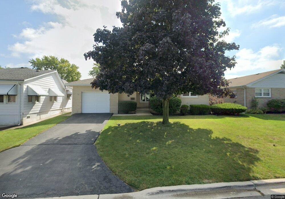
545 Mccarthy St Lemont, IL 60439
Southeast Lemont NeighborhoodEstimated Value: $305,108 - $334,000
2
Beds
2
Baths
1,292
Sq Ft
$248/Sq Ft
Est. Value
About This Home
This home is located at 545 Mccarthy St, Lemont, IL 60439 and is currently estimated at $319,777, approximately $247 per square foot. 545 Mccarthy St is a home located in Cook County with nearby schools including Oakwood School, River Valley School, and Old Quarry Middle School.
Ownership History
Date
Name
Owned For
Owner Type
Purchase Details
Closed on
Dec 28, 2007
Sold by
Erickson Pamela T and Koski Duane J
Bought by
Krahn Karin M
Current Estimated Value
Home Financials for this Owner
Home Financials are based on the most recent Mortgage that was taken out on this home.
Original Mortgage
$228,000
Outstanding Balance
$141,366
Interest Rate
6.17%
Mortgage Type
Unknown
Estimated Equity
$178,411
Create a Home Valuation Report for This Property
The Home Valuation Report is an in-depth analysis detailing your home's value as well as a comparison with similar homes in the area
Home Values in the Area
Average Home Value in this Area
Purchase History
| Date | Buyer | Sale Price | Title Company |
|---|---|---|---|
| Krahn Karin M | $228,000 | First American Title |
Source: Public Records
Mortgage History
| Date | Status | Borrower | Loan Amount |
|---|---|---|---|
| Open | Krahn Karin M | $228,000 |
Source: Public Records
Tax History
| Year | Tax Paid | Tax Assessment Tax Assessment Total Assessment is a certain percentage of the fair market value that is determined by local assessors to be the total taxable value of land and additions on the property. | Land | Improvement |
|---|---|---|---|---|
| 2025 | $2,357 | $13,000 | $2,494 | $10,506 |
| 2024 | $2,357 | $13,000 | $2,494 | $10,506 |
| 2023 | $2,152 | $13,000 | $2,494 | $10,506 |
| 2022 | $2,152 | $10,576 | $2,195 | $8,381 |
| 2021 | $2,097 | $10,574 | $2,194 | $8,380 |
| 2020 | $2,146 | $10,574 | $2,194 | $8,380 |
| 2019 | $2,536 | $12,679 | $2,194 | $10,485 |
| 2018 | $2,494 | $12,679 | $2,194 | $10,485 |
| 2017 | $2,463 | $12,679 | $2,194 | $10,485 |
| 2016 | $2,135 | $10,294 | $1,795 | $8,499 |
| 2015 | $2,153 | $10,294 | $1,795 | $8,499 |
| 2014 | $2,180 | $10,294 | $1,795 | $8,499 |
| 2013 | $2,302 | $11,440 | $1,795 | $9,645 |
Source: Public Records
Map
Nearby Homes
- 11174 Tuscany Ln
- 614 Czacki St
- 700 Czacki St
- 400 Mccarthy Rd Unit 419
- 400 Mccarthy Rd Unit 421
- 402 Stephen St
- 523 Talcott Ave
- 351 Front St Unit 2212
- 342 River St Unit 3402
- 1004 Saddle Ln
- 332 River St Unit 4504
- 16 E Illinois St
- 1268 Durham Ln
- 1012 Warner Ave
- 724 Ridge Rd
- 1009 Walter St
- 12183 Morandi Ct
- 12185 Morandi Ct
- 12444 Killarney Dr
- 1023 Walter St
- 545 Mccarthy St
- 541 Mccarthy St
- 801 Sobieski St
- 801 Sobieski St
- 537 Mccarthy St
- 533 Mccarthy St
- 542 Houston St
- 536 Houston St
- 544 Houston St
- 603 Mccarthy St
- 544 Mccarthy St
- 534 Houston St
- 546 Mccarthy St
- 546 Mccarthy St
- 540 Mccarthy St
- 538 Mccarthy St
- 536 Mccarthy St
- 534 Mccarthy St
- 602 Houston St
- 814 Mccarthy Rd
Your Personal Tour Guide
Ask me questions while you tour the home.