545 Mount Moriah Rd Livermore, CO 80536
Estimated Value: $445,000 - $472,147
2
Beds
2
Baths
1,224
Sq Ft
$376/Sq Ft
Est. Value
About This Home
This home is located at 545 Mount Moriah Rd, Livermore, CO 80536 and is currently estimated at $460,787, approximately $376 per square foot. 545 Mount Moriah Rd is a home with nearby schools including Red Feather Lakes Elementary School, Cache La Poudre Middle School, and Poudre High School.
Ownership History
Date
Name
Owned For
Owner Type
Purchase Details
Closed on
Aug 8, 2025
Sold by
Adams Living Trust and Adams Judd
Bought by
Judd Adams Living Trust
Current Estimated Value
Purchase Details
Closed on
Feb 10, 2004
Sold by
Mulligan Terrence T and Mulligan Linda H
Bought by
Adams Living Trust
Home Financials for this Owner
Home Financials are based on the most recent Mortgage that was taken out on this home.
Original Mortgage
$25,000
Interest Rate
5.88%
Mortgage Type
Seller Take Back
Purchase Details
Closed on
Nov 15, 1996
Sold by
Boushee Allen J
Bought by
Mulligan Terrence T and Mulligan Linda H
Home Financials for this Owner
Home Financials are based on the most recent Mortgage that was taken out on this home.
Original Mortgage
$9,000
Interest Rate
7%
Create a Home Valuation Report for This Property
The Home Valuation Report is an in-depth analysis detailing your home's value as well as a comparison with similar homes in the area
Home Values in the Area
Average Home Value in this Area
Purchase History
| Date | Buyer | Sale Price | Title Company |
|---|---|---|---|
| Judd Adams Living Trust | -- | None Listed On Document | |
| Adams Living Trust | $50,000 | -- | |
| Mulligan Terrence T | $11,500 | -- |
Source: Public Records
Mortgage History
| Date | Status | Borrower | Loan Amount |
|---|---|---|---|
| Previous Owner | Adams Living Trust | $25,000 | |
| Previous Owner | Mulligan Terrence T | $9,000 |
Source: Public Records
Tax History Compared to Growth
Tax History
| Year | Tax Paid | Tax Assessment Tax Assessment Total Assessment is a certain percentage of the fair market value that is determined by local assessors to be the total taxable value of land and additions on the property. | Land | Improvement |
|---|---|---|---|---|
| 2025 | $3,087 | $35,054 | $7,705 | $27,349 |
| 2024 | $2,941 | $35,054 | $7,705 | $27,349 |
| 2022 | $2,558 | $26,410 | $4,121 | $22,289 |
| 2021 | $2,587 | $27,170 | $4,240 | $22,930 |
| 2020 | $1,908 | $19,870 | $2,503 | $17,367 |
| 2019 | $1,916 | $19,870 | $2,503 | $17,367 |
| 2018 | $1,602 | $17,878 | $2,160 | $15,718 |
| 2017 | $1,124 | $12,593 | $2,160 | $10,433 |
| 2016 | $214 | $2,388 | $2,388 | $0 |
| 2015 | $213 | $2,390 | $2,390 | $0 |
| 2014 | $243 | $2,710 | $2,710 | $0 |
Source: Public Records
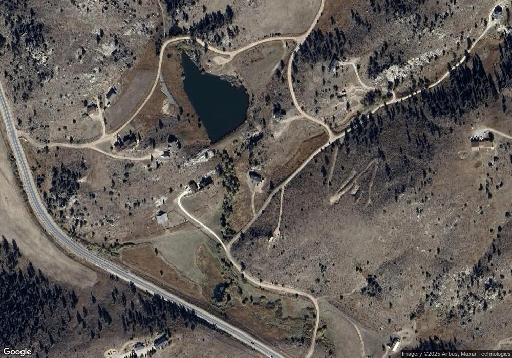
Map
Nearby Homes
- 90 Sunlight Cir
- 1388 Mt Moriah Rd
- 1388 Mount Moriah Rd
- 23 E Quandary Ct
- 91 Eagle Rising Place
- 679 Mount Massive Dr
- 117 Mount Sherman Ct
- 487 Laplata Dr
- 556 Bald Mountain Dr
- 609 Eiger Rd
- 4092 Green Mountain Dr
- 11881 W County Road 74e
- 81 Humboldt Dr
- 816 Meadow Way
- 569 Gordon Ct
- 62 White Slide Mountain Ct
- 1737 Eiger Rd
- 490 Gordon Ct
- 166 Red Cloud Peak Ct
- 102 Mount Princeton Ct
- 603 Mount Moriah Rd
- 385 Mount Moriah Rd
- 66 Mount Axtell Dr
- 62 Needle Ct
- 482 Mount Moriah Rd
- 50 Banana Belt Ct
- 62 Banana Belt Ct
- 62 Banana Belt Ct
- 90 Mount Axtell Dr
- 100 Mount Moriah Ct
- 0 Needle Ct
- 160 Eolus Ct
- 27 Mount Axtell Dr
- 22 Mount Axtell Dr
- 0 Mount Axtell Dr Unit 658363
- 788 Mount Moriah Rd
- 302 Simoncrest Dr
- 302 Simoncrest Dr
- 0 Mt Moriah Rd Unit 530756
- 0 Mt Moriah Rd Unit 442414