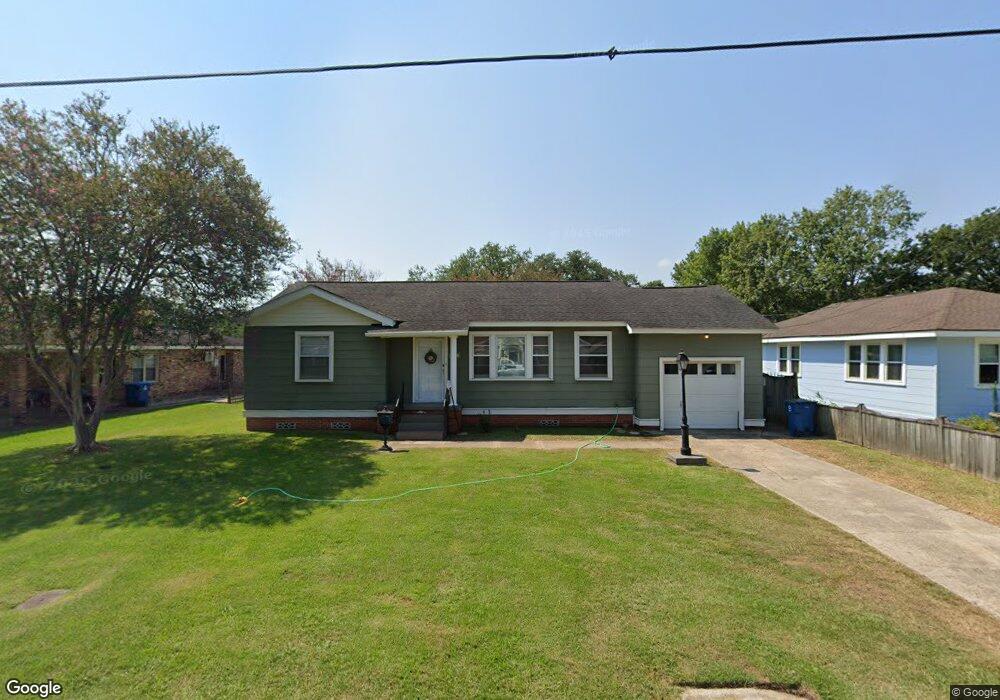
545 Oaks Ave Port Allen, LA 70767
Estimated Value: $138,796 - $160,000
--
Bed
--
Bath
1,182
Sq Ft
$129/Sq Ft
Est. Value
About This Home
This home is located at 545 Oaks Ave, Port Allen, LA 70767 and is currently estimated at $152,199, approximately $128 per square foot. 545 Oaks Ave is a home located in West Baton Rouge Parish with nearby schools including Port Allen Elementary School, Cohn Elementary School, and Port Allen Middle School.
Ownership History
Date
Name
Owned For
Owner Type
Purchase Details
Closed on
Apr 23, 2025
Sold by
Landry Harry F and Landry Debra Doming
Bought by
Lejeune Kenneth James and Pormier Lejeune Angel
Current Estimated Value
Home Financials for this Owner
Home Financials are based on the most recent Mortgage that was taken out on this home.
Original Mortgage
$140,250
Outstanding Balance
$139,627
Interest Rate
6.65%
Mortgage Type
New Conventional
Estimated Equity
$12,572
Purchase Details
Closed on
May 6, 2013
Sold by
Loup Simpson Joan Ellen and Loup Harrell Louis
Bought by
Landry Harry F and Landry Debra D
Create a Home Valuation Report for This Property
The Home Valuation Report is an in-depth analysis detailing your home's value as well as a comparison with similar homes in the area
Home Values in the Area
Average Home Value in this Area
Purchase History
| Date | Buyer | Sale Price | Title Company |
|---|---|---|---|
| Lejeune Kenneth James | $165,000 | None Listed On Document | |
| Landry Harry F | $130,000 | None Available |
Source: Public Records
Mortgage History
| Date | Status | Borrower | Loan Amount |
|---|---|---|---|
| Open | Lejeune Kenneth James | $140,250 |
Source: Public Records
Tax History Compared to Growth
Tax History
| Year | Tax Paid | Tax Assessment Tax Assessment Total Assessment is a certain percentage of the fair market value that is determined by local assessors to be the total taxable value of land and additions on the property. | Land | Improvement |
|---|---|---|---|---|
| 2024 | $1,225 | $11,230 | $4,950 | $6,280 |
| 2023 | $1,098 | $9,460 | $3,370 | $6,090 |
| 2022 | $1,108 | $9,460 | $3,370 | $6,090 |
| 2021 | $1,130 | $9,460 | $3,370 | $6,090 |
| 2020 | $1,026 | $8,510 | $3,030 | $5,480 |
| 2019 | $1,071 | $8,520 | $2,480 | $6,040 |
| 2018 | $1,089 | $8,520 | $2,480 | $6,040 |
| 2017 | $1,014 | $8,520 | $2,480 | $6,040 |
| 2015 | $819 | $8,290 | $2,250 | $6,040 |
| 2014 | $810 | $8,290 | $2,250 | $6,040 |
| 2013 | $810 | $8,290 | $2,250 | $6,040 |
Source: Public Records
Map
Nearby Homes
- 835 Whitehead Blvd
- 823 Oaks Ave
- 809 Avenue E
- 811 Avenue D
- 557 Avenue C
- 550 S River Rd
- 3459 Louisiana 1
- 235 N Jefferson Ave
- 330 Magnolia St
- 755 Maryland Ave
- 655 7th St
- 309 N 14th St
- 348 Michigan Ave
- 456 Louisiana Ave
- 131 W Main St
- 245 Melissa Dr
- 289 Melissa Dr
- 926 Louisiana Ave
- 1093 6th St
- 15722 Maxwell Dr