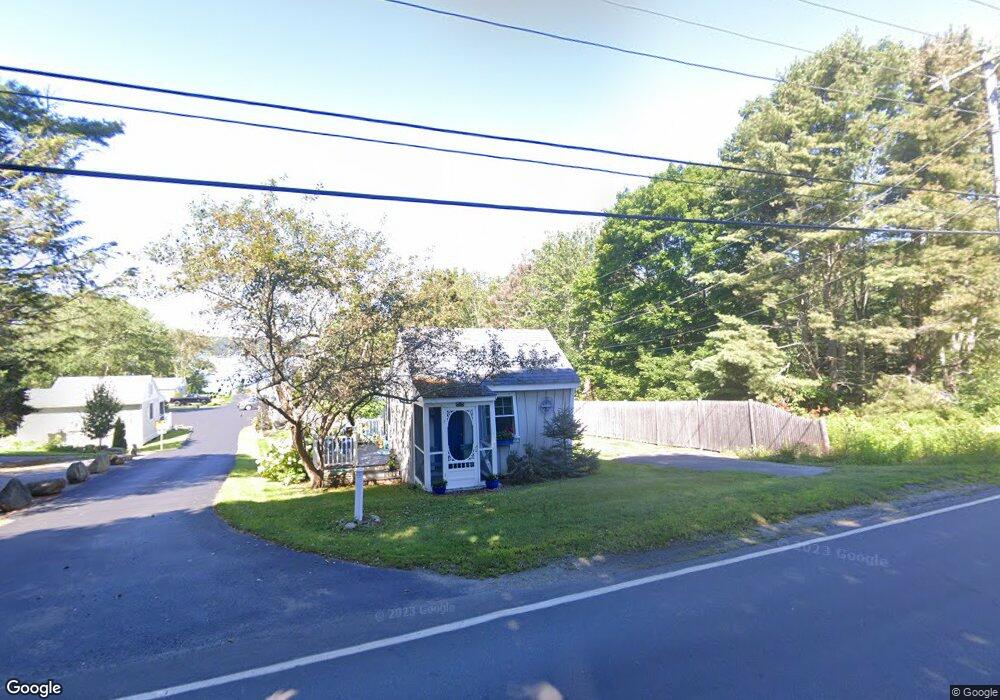
545 Ocean Point Rd Unit SP East Boothbay, ME 04544
Estimated Value: $173,000 - $258,000
1
Bed
1
Bath
312
Sq Ft
$720/Sq Ft
Est. Value
About This Home
This home is located at 545 Ocean Point Rd Unit SP, East Boothbay, ME 04544 and is currently estimated at $224,574, approximately $719 per square foot. 545 Ocean Point Rd Unit SP is a home located in Lincoln County with nearby schools including Boothbay Region Elementary School and Boothbay Region High School.
Ownership History
Date
Name
Owned For
Owner Type
Purchase Details
Closed on
Dec 3, 2013
Sold by
Merrill Brian R and Merrill Madalyne M
Bought by
Matlack 3Rd Elwood T and Matlack Sandra L
Current Estimated Value
Home Financials for this Owner
Home Financials are based on the most recent Mortgage that was taken out on this home.
Original Mortgage
$37,462
Outstanding Balance
$28,088
Interest Rate
4.29%
Mortgage Type
New Conventional
Estimated Equity
$196,486
Create a Home Valuation Report for This Property
The Home Valuation Report is an in-depth analysis detailing your home's value as well as a comparison with similar homes in the area
Home Values in the Area
Average Home Value in this Area
Purchase History
| Date | Buyer | Sale Price | Title Company |
|---|---|---|---|
| Matlack 3Rd Elwood T | -- | -- |
Source: Public Records
Mortgage History
| Date | Status | Borrower | Loan Amount |
|---|---|---|---|
| Open | Matlack 3Rd Elwood T | $37,462 |
Source: Public Records
Tax History Compared to Growth
Tax History
| Year | Tax Paid | Tax Assessment Tax Assessment Total Assessment is a certain percentage of the fair market value that is determined by local assessors to be the total taxable value of land and additions on the property. | Land | Improvement |
|---|---|---|---|---|
| 2024 | $1,247 | $109,859 | $80,000 | $29,859 |
| 2023 | $1,104 | $109,859 | $80,000 | $29,859 |
| 2022 | $1,022 | $109,859 | $80,000 | $29,859 |
| 2021 | $1,049 | $109,859 | $80,000 | $29,859 |
| 2020 | $1,055 | $109,859 | $80,000 | $29,859 |
| 2019 | $1,038 | $109,859 | $80,000 | $29,859 |
| 2018 | $1,022 | $109,859 | $80,000 | $29,859 |
| 2017 | $1,008 | $109,600 | $83,900 | $25,700 |
| 2016 | $964 | $109,600 | $83,900 | $25,700 |
| 2015 | $956 | $109,300 | $83,900 | $25,400 |
| 2014 | $929 | $109,300 | $83,900 | $25,400 |
Source: Public Records
Map
Nearby Homes
- 44 King Phillips Trail
- 12 Westwind Dr
- 127 Appalachee Rd
- 5 Massachusetts Ave
- 61 Van Horn Rd
- 239 Ocean Point Rd
- 74 & 76 Bay St
- 210 Ocean Point Rd
- 31 Bay St
- 23 Meadow Cove Rd
- 35 Rice Rd
- 98 Meadow Cove Rd
- 37 Townsend Ave
- 27 Townsend Ave
- 34 Townsend Ave
- 66 Townsend Ave
- 58 Roads End Rd
- 66 Townsend Avenue & 43 Oak St
- 43 Oak St
- 53 Commercial St
- 545 Ocean Point Rd Unit SB
- 545 Ocean Point Rd Unit R
- 545 Ocean Point Rd Unit 3
- 545 Ocean Point Rd Unit 2
- 545 Ocean Point Rd Unit 1
- 545 Ocean Point Rd Unit F
- 545 Ocean Point Rd Unit CG
- 545 Ocean Point Rd Unit AQ
- 545 Ocean Point Rd Unit 203
- 545 Ocean Point Rd Unit 202
- 545 Ocean Point Rd Unit 201
- 545 Ocean Point Rd Unit 104
- 545 Ocean Point Rd Unit 103
- 545 Ocean Point Rd
- 545 Ocean Point Rd Unit 101
- 545 Ocean Point Rd Unit CQ
- 545 Ocean Pt Rd Unit CQ
- 545 Ocean Pt Rd Unit 5
- 545 Ocean Pt Rd Unit 4
- 545 Ocean Pt Rd Unit 3