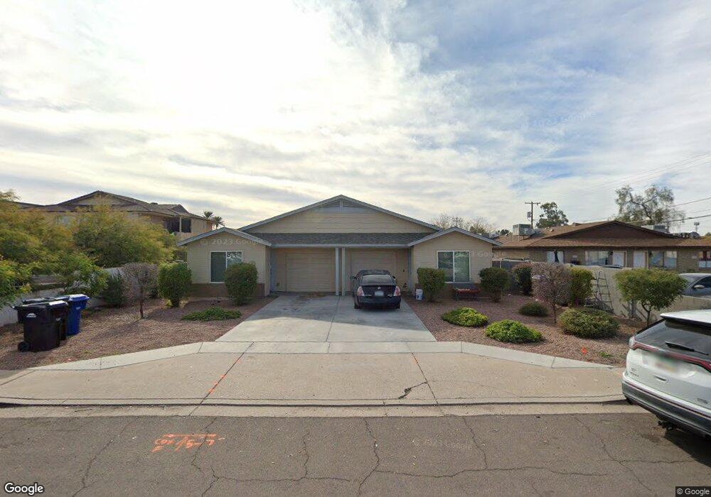
545 W 9th St Unit 1 Mesa, AZ 85201
West Enders NeighborhoodEstimated Value: $365,000 - $628,741
Studio
--
Bath
2,201
Sq Ft
$239/Sq Ft
Est. Value
About This Home
This home is located at 545 W 9th St Unit 1, Mesa, AZ 85201 and is currently estimated at $526,685, approximately $239 per square foot. 545 W 9th St Unit 1 is a home located in Maricopa County with nearby schools including Franklin at Brimhall Elementary School, Emerson Elementary School, and Franklin West Elementary School.
Ownership History
Date
Name
Owned For
Owner Type
Purchase Details
Closed on
Mar 2, 2018
Sold by
Desert Gold Land Holdins Llc
Bought by
Toone Michael J and Toone Carol H
Current Estimated Value
Purchase Details
Closed on
May 9, 2013
Sold by
Soto Jorge Alvardo
Bought by
Desert Gold Land Holdings Llc
Home Financials for this Owner
Home Financials are based on the most recent Mortgage that was taken out on this home.
Original Mortgage
$44,000
Interest Rate
3.54%
Mortgage Type
New Conventional
Purchase Details
Closed on
Feb 9, 1999
Sold by
Buchanan Robert L and Buchanan Millie F
Bought by
Soto Jorge Alvarado
Create a Home Valuation Report for This Property
The Home Valuation Report is an in-depth analysis detailing your home's value as well as a comparison with similar homes in the area
Home Values in the Area
Average Home Value in this Area
Purchase History
| Date | Buyer | Sale Price | Title Company |
|---|---|---|---|
| Toone Michael J | $220,000 | None Available | |
| Desert Gold Land Holdings Llc | $43,000 | Title 365 | |
| Soto Jorge Alvarado | $20,000 | Security Title Agency |
Source: Public Records
Mortgage History
| Date | Status | Borrower | Loan Amount |
|---|---|---|---|
| Previous Owner | Desert Gold Land Holdings Llc | $44,000 |
Source: Public Records
Tax History
| Year | Tax Paid | Tax Assessment Tax Assessment Total Assessment is a certain percentage of the fair market value that is determined by local assessors to be the total taxable value of land and additions on the property. | Land | Improvement |
|---|---|---|---|---|
| 2025 | $1,791 | $18,159 | -- | -- |
| 2024 | $1,797 | $17,294 | -- | -- |
| 2023 | $1,797 | $36,200 | $7,240 | $28,960 |
| 2022 | $1,760 | $27,610 | $5,520 | $22,090 |
| 2021 | $1,781 | $23,560 | $4,710 | $18,850 |
| 2020 | $1,758 | $21,700 | $4,340 | $17,360 |
| 2019 | $1,643 | $18,820 | $3,760 | $15,060 |
| 2018 | $463 | $5,115 | $5,115 | $0 |
| 2017 | $449 | $4,605 | $4,605 | $0 |
| 2016 | $441 | $4,410 | $4,410 | $0 |
| 2015 | $442 | $4,224 | $4,224 | $0 |
Source: Public Records
Map
Nearby Homes
- 861 N Revere Unit E
- 837 N Revere Unit E
- 923 N Country Club Dr
- 1027 N Revere
- 606 N Country Club Dr
- 455 W 5th Place
- 805 N Westwood
- 222 W Brown Rd Unit 66
- 222 W Brown Rd Unit 57
- 222 W Brown Rd Unit 26
- 222 W Brown Rd Unit 107
- 1051 N Grand
- 1042 W 9th Place
- 1051 W Dixon St
- 532 N Grand
- 555 W University Dr
- 453 W University Dr
- 453 W 3rd Place
- 40 W Brown Rd Unit 109
- 1105 W 6th Place
- 545 W 9th St Unit UNK
- 545 W 9th St Unit 102
- 553 W 9th St
- 535 W 9th St Unit 102
- 535 W 9th St
- 535 W 9th St Unit 201
- 535 W 9th St Unit 101
- 565 W 9th St
- 845 N Date
- 845 N Date Unit 1
- 845 N Date Unit 3
- 845 N Date Unit 2
- 550 W 9th St Unit 2
- 550 W 9th St
- 550 W 9th St Unit 1
- 550 W 9th St Unit 4
- 550 W 9th St Unit 3
- 544 W 9th St Unit 3
- 544 W 9th St Unit 2
- 544 W 9th St
Your Personal Tour Guide
Ask me questions while you tour the home.