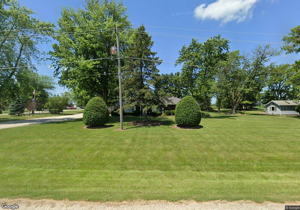
5450 N State Route 1 17 Grant Park, IL 60940
Estimated Value: $263,000 - $368,000
--
Bed
--
Bath
--
Sq Ft
0.94
Acres
About This Home
This home is located at 5450 N State Route 1 17, Grant Park, IL 60940 and is currently estimated at $301,584. 5450 N State Route 1 17 is a home located in Kankakee County with nearby schools including Momence Junior High School, Je-Neir Elementary School, and Momence High School.
Ownership History
Date
Name
Owned For
Owner Type
Purchase Details
Closed on
Dec 5, 2012
Sold by
Trust 2402
Bought by
Hamann Joshua
Current Estimated Value
Home Financials for this Owner
Home Financials are based on the most recent Mortgage that was taken out on this home.
Original Mortgage
$119,500
Outstanding Balance
$82,833
Interest Rate
3.38%
Mortgage Type
New Conventional
Estimated Equity
$218,751
Create a Home Valuation Report for This Property
The Home Valuation Report is an in-depth analysis detailing your home's value as well as a comparison with similar homes in the area
Home Values in the Area
Average Home Value in this Area
Purchase History
| Date | Buyer | Sale Price | Title Company |
|---|---|---|---|
| Hamann Joshua | $150,000 | Homestar Title |
Source: Public Records
Mortgage History
| Date | Status | Borrower | Loan Amount |
|---|---|---|---|
| Open | Hamann Joshua | $119,500 |
Source: Public Records
Tax History Compared to Growth
Tax History
| Year | Tax Paid | Tax Assessment Tax Assessment Total Assessment is a certain percentage of the fair market value that is determined by local assessors to be the total taxable value of land and additions on the property. | Land | Improvement |
|---|---|---|---|---|
| 2024 | $5,274 | $81,160 | $9,582 | $71,578 |
| 2023 | $4,765 | $73,782 | $9,582 | $64,200 |
| 2022 | $4,227 | $64,159 | $8,332 | $55,827 |
| 2021 | $3,896 | $58,327 | $4,284 | $54,043 |
| 2020 | $3,562 | $52,763 | $4,284 | $48,479 |
| 2019 | $3,640 | $52,763 | $4,284 | $48,479 |
| 2018 | $3,639 | $52,763 | $4,284 | $48,479 |
| 2017 | $3,640 | $52,763 | $4,284 | $48,479 |
| 2016 | $3,632 | $52,763 | $4,284 | $48,479 |
| 2015 | $3,657 | $52,763 | $4,284 | $48,479 |
| 2014 | $4,081 | $52,763 | $4,284 | $48,479 |
| 2013 | -- | $54,402 | $4,360 | $50,042 |
Source: Public Records
Map
Nearby Homes
- 10868 E Le Claire St
- 5342 N Vincennes Trail
- 10766 E 7000 Rd N
- 967 Brown Dr
- 946 Louise Dr
- 3571 N State Route 1 17
- 5532 N 13000e Rd
- 428 W 6th St
- Section 18 E Deerson St
- 529 E 4th St
- 222 Cherry Ln
- 217 N Maple St
- 203 N Pine St
- 109 N Dixie Hwy
- 103 N Maple St
- VACANT LOT Virden St
- 33 Hill St
- 12605 E Metcalf Ave
- 9337 E 3000n Rd
- 10258 E River South Rd
- 5490 N State Route 1 17
- 10943 E Le Claire St
- 10944 E Le Claire St
- 10925 E Le Claire St
- 10956 E Le Claire St
- 5396 N State Route 1 17
- 10926 E Le Claire St
- 10924 E Le Claire St
- 10909 E Le Claire St
- 10908 E Le Claire St
- 5382 N State Route 17
- 10895 E Le Claire St
- 5360 N Rte 1-17
- 5360 Dixie Hwy
- 5360 N State Route 1 17
- 10896 E Le Claire St
- 10867 E Le Claire St
- 10963 E French St
- 10981 E French St
- 10839 E Le Claire St