5450 Taylor Rd Norton, OH 44203
Estimated Value: $450,000 - $841,616
3
Beds
3
Baths
3,096
Sq Ft
$209/Sq Ft
Est. Value
About This Home
This home is located at 5450 Taylor Rd, Norton, OH 44203 and is currently estimated at $645,808, approximately $208 per square foot. 5450 Taylor Rd is a home located in Wayne County with nearby schools including Hazel Harvey Elementary School, Chippewa Intermediate School, and Chippewa Jr./Sr. High School.
Ownership History
Date
Name
Owned For
Owner Type
Purchase Details
Closed on
Aug 15, 2018
Sold by
Sebe James and Sebe Margaret
Bought by
Sebe James and Sebe Margaret
Current Estimated Value
Purchase Details
Closed on
Apr 13, 1994
Sold by
Sebe James and Sebe Margaret S
Bought by
Sebe James and Sebe Margaret S
Purchase Details
Closed on
Jul 23, 1993
Sold by
Sebe James and Sebe Joseph
Bought by
Sebe James and Sebe Margaret S
Create a Home Valuation Report for This Property
The Home Valuation Report is an in-depth analysis detailing your home's value as well as a comparison with similar homes in the area
Home Values in the Area
Average Home Value in this Area
Purchase History
| Date | Buyer | Sale Price | Title Company |
|---|---|---|---|
| Sebe James | -- | None Available | |
| Sebe James | -- | -- | |
| Sebe James | -- | -- |
Source: Public Records
Tax History Compared to Growth
Tax History
| Year | Tax Paid | Tax Assessment Tax Assessment Total Assessment is a certain percentage of the fair market value that is determined by local assessors to be the total taxable value of land and additions on the property. | Land | Improvement |
|---|---|---|---|---|
| 2024 | $4,162 | $268,000 | $181,230 | $86,770 |
| 2023 | $4,162 | $268,000 | $181,230 | $86,770 |
| 2022 | $3,888 | $268,000 | $181,230 | $86,770 |
| 2021 | $3,896 | $268,000 | $181,230 | $86,770 |
| 2020 | $3,924 | $268,000 | $181,230 | $86,770 |
| 2019 | $3,906 | $228,630 | $155,820 | $72,810 |
| 2018 | $3,945 | $225,430 | $152,620 | $72,810 |
| 2017 | $5,308 | $384,300 | $311,490 | $72,810 |
| 2016 | $5,935 | $275,810 | $203,000 | $72,810 |
| 2015 | $5,958 | $275,810 | $203,000 | $72,810 |
| 2014 | $5,240 | $275,810 | $203,000 | $72,810 |
| 2013 | $3,826 | $213,390 | $136,500 | $76,890 |
Source: Public Records
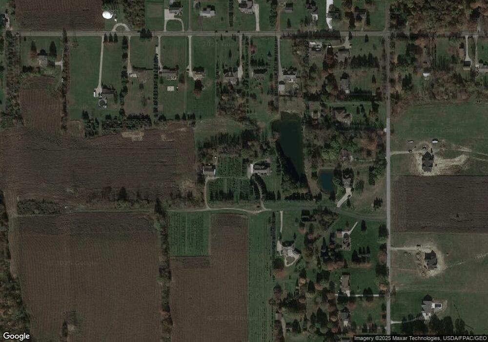
Map
Nearby Homes
- 5464 Taylor Rd
- 5264 Taylor Rd
- 14740 Oak Grove Dr Unit 41
- 404 31st St SW
- 1480 Maple St
- 266 35th St SW
- 15562 Portage St
- 000 Haynes Ave
- 1448 Noble Ave
- 3241 Grill Rd
- 18100 Grill Rd
- 132 31st St SW
- 100 Meadow Ct
- 1361 Prospect St
- V/L Benton
- 1371 Benton St
- 1450 Wooster Rd W
- 4666 Roop Ave
- 1216 Stratford St
- 0 Grill Rd
- 5432 Taylor Rd
- 5468 Taylor Rd
- 5372 Taylor Rd
- 5410 Taylor Rd
- 3516 Eastern Rd
- 3500 Eastern Rd
- 5390 Taylor Rd
- 3552 Eastern Rd
- 3464 Eastern Rd
- 3570 Eastern Rd
- 3535 Eastern Rd
- 3519 Eastern Rd
- 5490 Taylor Rd
- 3497 Eastern Rd
- 3590 Eastern Rd
- 5544 Taylor Rd
- 3481 Eastern Rd
- 3469 Eastern Rd
- 5528 Taylor Rd
- 3443 Eastern Rd