Estimated Value: $244,000 - $345,810
3
Beds
2
Baths
2,000
Sq Ft
$147/Sq Ft
Est. Value
About This Home
This home is located at 54505 Shannon Rd, Colon, MI 49040 and is currently estimated at $293,453, approximately $146 per square foot. 54505 Shannon Rd is a home located in St. Joseph County.
Ownership History
Date
Name
Owned For
Owner Type
Purchase Details
Closed on
May 24, 2005
Sold by
Main Lanell P and Nystrom Lanell P
Bought by
Nystrom Fred E and Nystrom Shirley A
Current Estimated Value
Home Financials for this Owner
Home Financials are based on the most recent Mortgage that was taken out on this home.
Original Mortgage
$96,000
Outstanding Balance
$50,793
Interest Rate
6.07%
Mortgage Type
Fannie Mae Freddie Mac
Estimated Equity
$242,660
Purchase Details
Closed on
Jan 1, 1901
Create a Home Valuation Report for This Property
The Home Valuation Report is an in-depth analysis detailing your home's value as well as a comparison with similar homes in the area
Home Values in the Area
Average Home Value in this Area
Purchase History
| Date | Buyer | Sale Price | Title Company |
|---|---|---|---|
| Nystrom Fred E | $120,000 | Sbtc | |
| -- | -- | -- |
Source: Public Records
Mortgage History
| Date | Status | Borrower | Loan Amount |
|---|---|---|---|
| Open | Nystrom Fred E | $96,000 |
Source: Public Records
Tax History Compared to Growth
Tax History
| Year | Tax Paid | Tax Assessment Tax Assessment Total Assessment is a certain percentage of the fair market value that is determined by local assessors to be the total taxable value of land and additions on the property. | Land | Improvement |
|---|---|---|---|---|
| 2025 | $2,429 | $138,800 | $14,600 | $124,200 |
| 2024 | $883 | $136,300 | $14,600 | $121,700 |
| 2023 | $842 | $122,800 | $14,600 | $108,200 |
| 2022 | $0 | $120,900 | $13,400 | $107,500 |
| 2021 | $1,822 | $93,000 | $11,600 | $81,400 |
| 2020 | $1,822 | $75,300 | $10,600 | $64,700 |
| 2019 | $753 | $88,400 | $10,600 | $77,800 |
| 2018 | $1,919 | $92,000 | $10,600 | $81,400 |
| 2017 | $1,863 | $85,800 | $85,800 | $0 |
| 2016 | -- | $78,600 | $78,600 | $0 |
| 2015 | -- | $80,100 | $0 | $0 |
| 2014 | -- | $71,300 | $71,300 | $0 |
| 2012 | -- | $68,000 | $68,000 | $0 |
Source: Public Records
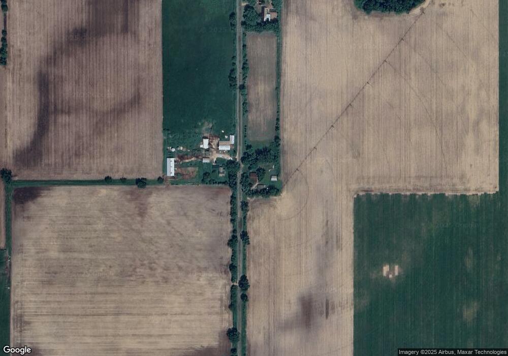
Map
Nearby Homes
- 774 Ralston Rd
- VL Heights Dr
- 31765 Michigan 60
- 30879 Michigan 60
- 0 N Burr Oak Rd
- 881 Brent Dr
- 31688 W Colon Rd
- 893 Vogel Dr
- 30725 Orla Engle Rd
- 210 E South St
- 457 S Burr Oak Rd
- 0 Dunks Rd
- 140 W Clay St
- v/l Oliverda Rd
- 0 S Farrand Unit 25051538
- 906 Bowman St
- 448 Long Lake Rd
- 110 Dotson Dr
- 0 Dotson Dr Unit 24037129
- 58954 Lakeshore Dr
- 33336 Covey Rd
- 55502 Shannon Rd
- 55278 Shannon Rd
- 55534 Shannon Rd
- 55126 Shannon Rd
- 55470 Shannon Rd
- 32599 Covey Rd
- 55010 Blossom Rd
- 54329 Shannon Rd
- 54909 Blossom Rd
- 55521 Blossom Rd
- 55533 Blossom Rd
- 54130 Shannon Rd
- 32348 Covey Rd
- 55605 Blossom Rd
- 32298 Covey Rd
- 54861 Blossom Rd
- 32229 Covey Rd
- 55576 Old Shannon Rd
- 55520 Blossom Rd