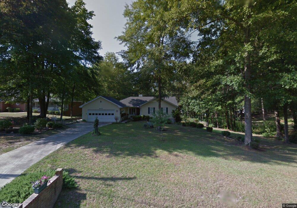
5452 Robie Dr Macon, GA 31216
Estimated Value: $169,308 - $242,000
3
Beds
2
Baths
1,278
Sq Ft
$157/Sq Ft
Est. Value
About This Home
This home is located at 5452 Robie Dr, Macon, GA 31216 and is currently estimated at $200,827, approximately $157 per square foot. 5452 Robie Dr is a home located in Bibb County with nearby schools including Heard Elementary School, Rutland Middle School, and Rutland High School.
Ownership History
Date
Name
Owned For
Owner Type
Purchase Details
Closed on
Jan 12, 2024
Sold by
Dawson Eunice A
Bought by
Eversley Kevin D
Current Estimated Value
Home Financials for this Owner
Home Financials are based on the most recent Mortgage that was taken out on this home.
Original Mortgage
$124,000
Outstanding Balance
$121,938
Interest Rate
7.22%
Mortgage Type
New Conventional
Estimated Equity
$78,889
Purchase Details
Closed on
Dec 19, 2018
Sold by
Dawson Charles L
Bought by
Dawson Eunice A
Purchase Details
Closed on
Feb 28, 2001
Sold by
Dawson Kerry L
Bought by
Dawson Charles L and Dawson Eunice A
Create a Home Valuation Report for This Property
The Home Valuation Report is an in-depth analysis detailing your home's value as well as a comparison with similar homes in the area
Home Values in the Area
Average Home Value in this Area
Purchase History
| Date | Buyer | Sale Price | Title Company |
|---|---|---|---|
| Eversley Kevin D | $155,000 | None Listed On Document | |
| Dawson Eunice A | -- | None Available | |
| Dawson Charles L | $91,000 | -- |
Source: Public Records
Mortgage History
| Date | Status | Borrower | Loan Amount |
|---|---|---|---|
| Open | Eversley Kevin D | $124,000 | |
| Closed | Eversley Kevin D | $10,000 |
Source: Public Records
Tax History Compared to Growth
Tax History
| Year | Tax Paid | Tax Assessment Tax Assessment Total Assessment is a certain percentage of the fair market value that is determined by local assessors to be the total taxable value of land and additions on the property. | Land | Improvement |
|---|---|---|---|---|
| 2024 | $956 | $52,128 | $6,360 | $45,768 |
| 2023 | $394 | $47,988 | $6,360 | $41,628 |
| 2022 | $1,114 | $46,077 | $6,122 | $39,955 |
| 2021 | $1,098 | $42,753 | $5,856 | $36,897 |
| 2020 | $804 | $34,575 | $5,323 | $29,252 |
| 2019 | $810 | $34,575 | $5,323 | $29,252 |
| 2018 | $1,419 | $34,575 | $5,323 | $29,252 |
| 2017 | $764 | $34,575 | $5,323 | $29,252 |
| 2016 | $696 | $34,576 | $5,323 | $29,252 |
| 2015 | $1,139 | $37,594 | $7,097 | $30,496 |
| 2014 | $1,139 | $37,594 | $7,097 | $30,496 |
Source: Public Records
Map
Nearby Homes
- 5459 Robie Dr
- 5626 Janeru Cir
- 7234 Neal Dr
- 4072 Sardis Church Rd
- 6403 Barfield Rd
- 204 Erin Ln
- 7241 Winterberry Cir
- 7253 Winterberry Cir
- 7209 Winterberry Cir
- 7216 Winterberry Cir
- 7220 Winterberry Cir
- 7212 Winterberry Cir
- 7805 Nowell Rd S
- 7511, 7579, 7595, 76 Nowell Rd S
- 2165 Griffin Dr
- 7237 Winterberry Cir
- 148 Marcar Rd
- 7530 Rhea Ln
- 7515 Goodall Mill Rd
- 174 Goodall Woods Dr