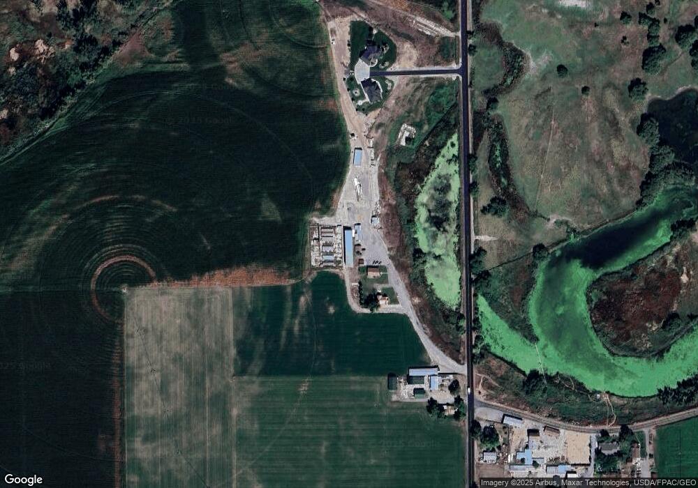
5453 N 2400 W Smithfield, UT 84335
Estimated Value: $374,000 - $547,000
--
Bed
--
Bath
1,200
Sq Ft
$394/Sq Ft
Est. Value
About This Home
This home is located at 5453 N 2400 W, Smithfield, UT 84335 and is currently estimated at $473,139, approximately $394 per square foot. 5453 N 2400 W is a home with nearby schools including Birch Creek School, Cedar Ridge School, and Cedar Ridge Middle School.
Ownership History
Date
Name
Owned For
Owner Type
Purchase Details
Closed on
Dec 14, 2017
Sold by
Munk Jerry W and Munk Marilyn C
Bought by
Munk Jerry W and Munk Marilyn C
Current Estimated Value
Purchase Details
Closed on
Sep 1, 2017
Sold by
Munk Brothers Llc
Bought by
Munk Jerry W and Munk Marilyn C
Purchase Details
Closed on
Jan 20, 2014
Sold by
Munk Brent R and Jeannine B Munk Revocable Trus
Bought by
Munk Brothers Llc
Create a Home Valuation Report for This Property
The Home Valuation Report is an in-depth analysis detailing your home's value as well as a comparison with similar homes in the area
Home Values in the Area
Average Home Value in this Area
Purchase History
| Date | Buyer | Sale Price | Title Company |
|---|---|---|---|
| Munk Jerry W | -- | -- | |
| Munk Jerry W | -- | Northern Title | |
| Munk Brothers Llc | -- | None Available |
Source: Public Records
Tax History Compared to Growth
Tax History
| Year | Tax Paid | Tax Assessment Tax Assessment Total Assessment is a certain percentage of the fair market value that is determined by local assessors to be the total taxable value of land and additions on the property. | Land | Improvement |
|---|---|---|---|---|
| 2025 | $2,728 | $445,975 | $0 | $0 |
| 2024 | $1,881 | $284,570 | $0 | $0 |
| 2023 | $2,011 | $284,560 | $0 | $0 |
| 2022 | $2,004 | $270,965 | $0 | $0 |
| 2021 | $1,990 | $381,472 | $162,860 | $218,612 |
| 2020 | $1,880 | $336,516 | $162,860 | $173,656 |
| 2019 | $1,646 | $276,301 | $102,645 | $173,656 |
| 2018 | $1,604 | $260,245 | $102,645 | $157,600 |
| 2017 | $1,513 | $144,125 | $0 | $0 |
| 2016 | $1,532 | $144,125 | $0 | $0 |
| 2015 | $1,528 | $144,125 | $0 | $0 |
| 2014 | $1,482 | $144,125 | $0 | $0 |
| 2013 | -- | $144,125 | $0 | $0 |
Source: Public Records
Map
Nearby Homes