5454 Aerospace Rd Roanoke, VA 24014
Estimated Value: $670,141
2
Beds
2
Baths
11,640
Sq Ft
$58/Sq Ft
Est. Value
About This Home
This home is located at 5454 Aerospace Rd, Roanoke, VA 24014 and is currently priced at $670,141, approximately $57 per square foot. 5454 Aerospace Rd is a home located in Roanoke County with nearby schools including Mt. Pleasant Elementary School, William Byrd Middle School, and William Byrd High School.
Ownership History
Date
Name
Owned For
Owner Type
Purchase Details
Closed on
Jun 28, 2023
Sold by
Vaughan James D and Vaughan Doran
Bought by
Greenway Construction Inc
Current Estimated Value
Purchase Details
Closed on
May 6, 2021
Sold by
K & K Propeties Of Roanoke
Bought by
K & Propeties Of Roanoke
Purchase Details
Closed on
May 5, 2021
Sold by
K & K Corporation Of Roanoke
Bought by
Brown David W
Create a Home Valuation Report for This Property
The Home Valuation Report is an in-depth analysis detailing your home's value as well as a comparison with similar homes in the area
Home Values in the Area
Average Home Value in this Area
Purchase History
| Date | Buyer | Sale Price | Title Company |
|---|---|---|---|
| Greenway Construction Inc | $165,000 | Fidelity National Title | |
| K & Propeties Of Roanoke | -- | Performance Title | |
| Brown David W | $85,690 | Performance Title And Setmnt |
Source: Public Records
Tax History Compared to Growth
Tax History
| Year | Tax Paid | Tax Assessment Tax Assessment Total Assessment is a certain percentage of the fair market value that is determined by local assessors to be the total taxable value of land and additions on the property. | Land | Improvement |
|---|---|---|---|---|
| 2025 | $7,270 | $705,800 | $194,600 | $511,200 |
| 2024 | $7,104 | $683,100 | $192,600 | $490,500 |
| 2023 | $7,050 | $665,100 | $192,600 | $472,500 |
| 2022 | $6,908 | $633,800 | $192,600 | $441,200 |
| 2021 | $7,974 | $731,600 | $265,000 | $466,600 |
| 2020 | $7,802 | $715,800 | $265,000 | $450,800 |
| 2019 | $7,714 | $707,700 | $265,000 | $442,700 |
| 2018 | $7,556 | $697,100 | $265,000 | $432,100 |
| 2017 | $7,556 | $693,200 | $265,000 | $428,200 |
| 2016 | $7,530 | $690,800 | $265,000 | $425,800 |
| 2015 | $7,526 | $690,500 | $265,000 | $425,500 |
| 2014 | $7,453 | $683,800 | $265,000 | $418,800 |
Source: Public Records
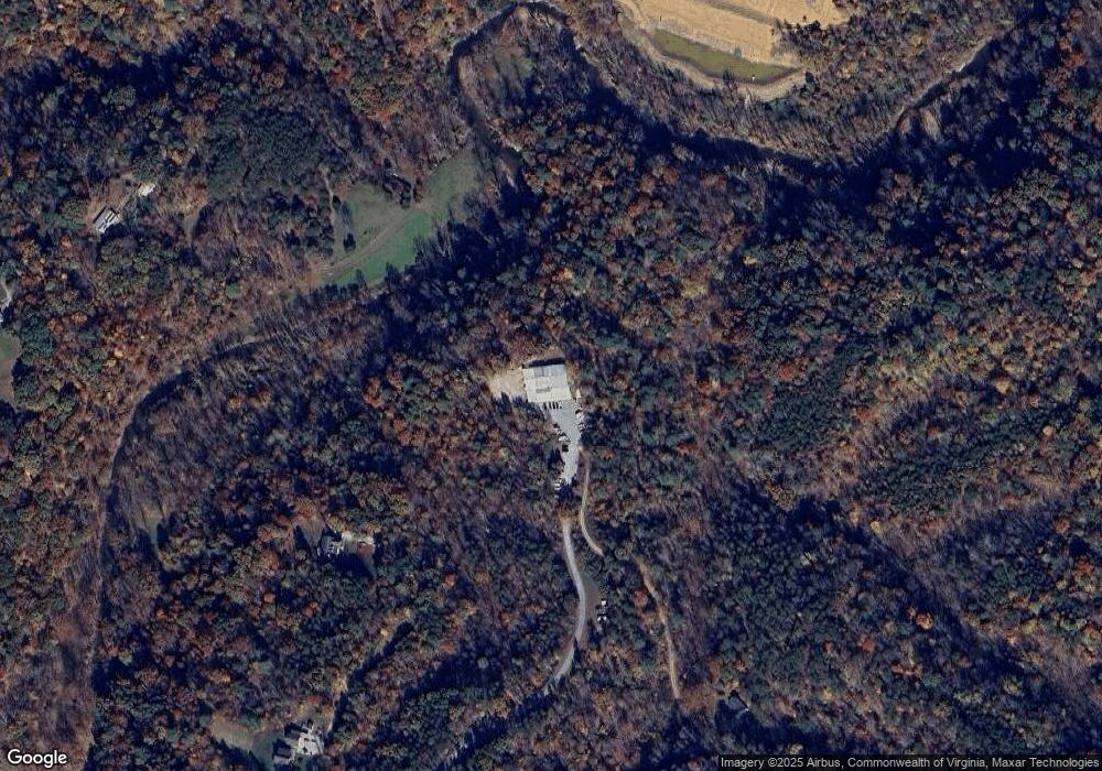
Map
Nearby Homes
- 533 Coopers Cove Rd
- 3891 Saul Ln
- 8995 Jubal Early Hwy
- 3885 Saul Ln
- 3879 Saul Ln
- 4070 Pitzer Rd
- 3849 Saul Ln
- 3855 Saul Ln
- 0 Coopers Cove Rd
- 3888 Ballyhack Trail
- 3889 Ballyhack Trail
- 3878 Ballyhack Trail
- 3864 Ballyhack Trail
- 3846 Ballyhack Trail
- 3836 Ballyhack Trail
- 3517 Ballyhack Trail
- 3527 Ballyhack Trail
- 3537 Ballyhack Trail
- 3764 Ballyhack Trail
- 5225 Pitzer Rd
- 0 Aerospace Rd
- 4076 Aerospace Rd
- TRACT A-3 Aerospace Rd
- 4048 Aerospace Rd
- 4303 Aerospace Rd
- TRACT A-1 Aerospace Rd
- 4520 Windy Gap Dr
- 4530 Windy Gap Dr
- 4500 Windy Gap Dr
- 4540 Windy Gap Dr
- 4567 Windy Gap Dr
- 4485 Windy Gap Dr
- 4471 Windy Gap Dr
- 0 Windy Gap Dr
- 4065 Aerospace Rd
- 4425 Windy Gap Dr
- 4443 Windy Gap Dr
- 4425 Windy Gap Dr
- 4401 Windy Gap Dr
- 4381 Windy Gap Dr