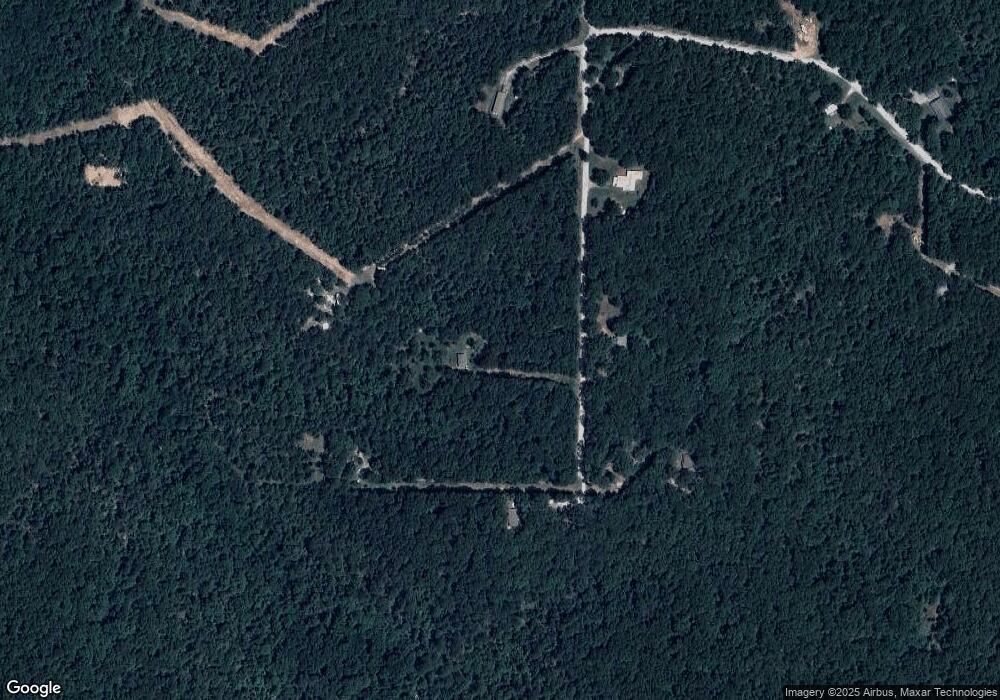
5455 E 610 Rd Locust Grove, OK 74352
Estimated Value: $136,000 - $195,306
1
Bed
1
Bath
672
Sq Ft
$247/Sq Ft
Est. Value
About This Home
This home is located at 5455 E 610 Rd, Locust Grove, OK 74352 and is currently estimated at $165,653, approximately $246 per square foot. 5455 E 610 Rd is a home with nearby schools including Locust Grove Early Lrning Center, Locust Grove Upper Elementary School, and Locust Grove Middle School.
Ownership History
Date
Name
Owned For
Owner Type
Purchase Details
Closed on
Oct 14, 2025
Sold by
Cathey Joe
Bought by
Cathey Iris
Current Estimated Value
Purchase Details
Closed on
Feb 13, 2015
Sold by
Carrico Charles Francis
Bought by
Spencer David A and Spencer Jessica M
Purchase Details
Closed on
Apr 24, 1999
Sold by
Gatlin Tammy and Gatlin Steve
Bought by
Carrico Charles Francis
Purchase Details
Closed on
Nov 1, 1994
Sold by
Goodin Goodin D and Goodin W
Bought by
Graney David A
Create a Home Valuation Report for This Property
The Home Valuation Report is an in-depth analysis detailing your home's value as well as a comparison with similar homes in the area
Home Values in the Area
Average Home Value in this Area
Purchase History
| Date | Buyer | Sale Price | Title Company |
|---|---|---|---|
| Cathey Iris | -- | None Listed On Document | |
| Spencer David A | $8,000 | None Available | |
| Spencer David A | $8,000 | None Available | |
| Carrico Charles Francis | $10,000 | -- | |
| Graney David A | $20,000 | -- |
Source: Public Records
Tax History Compared to Growth
Tax History
| Year | Tax Paid | Tax Assessment Tax Assessment Total Assessment is a certain percentage of the fair market value that is determined by local assessors to be the total taxable value of land and additions on the property. | Land | Improvement |
|---|---|---|---|---|
| 2025 | $965 | $10,891 | $3,802 | $7,089 |
| 2024 | $965 | $10,373 | $3,621 | $6,752 |
| 2023 | $965 | $9,879 | $3,515 | $6,364 |
| 2022 | $800 | $8,872 | $3,261 | $5,611 |
| 2021 | $96 | $1,037 | $1,037 | $0 |
| 2020 | $92 | $988 | $988 | $0 |
| 2019 | $88 | $941 | $941 | $0 |
| 2018 | $86 | $896 | $896 | $0 |
| 2017 | $86 | $896 | $896 | $0 |
| 2016 | $84 | $896 | $896 | $0 |
| 2015 | $150 | $1,555 | $1,555 | $0 |
| 2014 | $144 | $1,498 | $946 | $552 |
Source: Public Records
Map
Nearby Homes
- 0 S 4409 Rd
- 0 E 610 Rd Unit 2542638
- 58 Oak
- 12754 S 442 Rd
- 7167 E 618 Rd
- 12665 S 4429
- 0 Rural Route Unit 25-1842
- 5580 E 610 Rd
- 14209 S 439
- 4100 N 430 Rd
- 6164 E 578
- 0 S 043 Rd Unit 2512653
- 10015 E 632 Rd
- 9212 S 443 Rd
- 10171 U S Highway 412
- 1819 E 600
- 815 S Cherokee St
- 715 S Cherokee St
- 608 S Cherokee St
- 381 S 437
