5455 Regent St W Tillamook, OR 97141
Estimated Value: $573,000 - $711,000
3
Beds
3
Baths
1,826
Sq Ft
$354/Sq Ft
Est. Value
About This Home
This home is located at 5455 Regent St W, Tillamook, OR 97141 and is currently estimated at $646,921, approximately $354 per square foot. 5455 Regent St W is a home located in Tillamook County with nearby schools including Tillamook High School.
Ownership History
Date
Name
Owned For
Owner Type
Purchase Details
Closed on
Oct 5, 2020
Sold by
Allred R Tim R and Allred Judy H
Bought by
Allred Tim and Allred Judy H
Current Estimated Value
Purchase Details
Closed on
May 8, 2014
Sold by
Holmes Janis
Bought by
Allred R Tim and Allred Judy H
Purchase Details
Closed on
Sep 30, 2011
Sold by
Holmes Harold W and Holmes Clara Viola
Bought by
Holmes Clara Viola
Purchase Details
Closed on
Mar 7, 2002
Sold by
Holmes Harold and Holmes Viola
Bought by
Hall Kendra
Create a Home Valuation Report for This Property
The Home Valuation Report is an in-depth analysis detailing your home's value as well as a comparison with similar homes in the area
Home Values in the Area
Average Home Value in this Area
Purchase History
| Date | Buyer | Sale Price | Title Company |
|---|---|---|---|
| Allred Tim | -- | None Available | |
| Allred R Tim | $290,000 | First American | |
| Holmes Clara Viola | -- | None Available | |
| Hall Kendra | $200,000 | None Available |
Source: Public Records
Tax History Compared to Growth
Tax History
| Year | Tax Paid | Tax Assessment Tax Assessment Total Assessment is a certain percentage of the fair market value that is determined by local assessors to be the total taxable value of land and additions on the property. | Land | Improvement |
|---|---|---|---|---|
| 2024 | $4,608 | $365,660 | $132,150 | $233,510 |
| 2023 | $4,590 | $355,010 | $128,300 | $226,710 |
| 2022 | $4,462 | $344,670 | $124,560 | $220,110 |
| 2021 | $4,360 | $334,640 | $120,930 | $213,710 |
| 2020 | $4,176 | $324,900 | $117,410 | $207,490 |
| 2019 | $4,117 | $315,439 | $113,989 | $201,450 |
| 2018 | $3,869 | $300,920 | $118,600 | $182,320 |
| 2017 | $3,835 | $295,190 | $111,900 | $183,290 |
| 2016 | $3,784 | $291,990 | $114,470 | $177,520 |
| 2015 | $3,595 | $273,370 | $115,270 | $158,100 |
| 2014 | $3,795 | $283,520 | $142,460 | $141,060 |
| 2013 | -- | $295,670 | $253,420 | $42,250 |
Source: Public Records
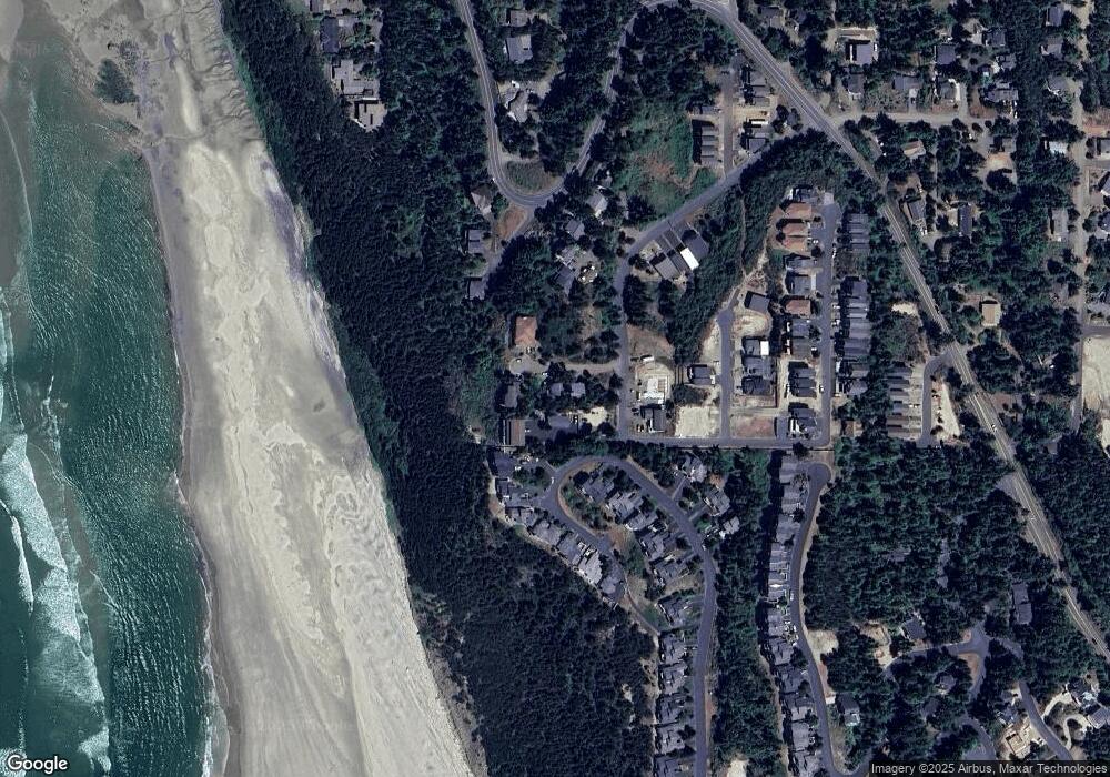
Map
Nearby Homes
- 0 Crescent St Unit 12&13 614513147
- 0 Crescent St Unit 12 & 13 25-409
- 250 Capes Dr
- 0 Tl 2100 Grand Ave
- 0 Glenwood St Unit Lots 6,7,8
- 0 Glenwood St Unit Lts6-8
- 280 Hillsdale St
- Lot 52 Hillsdale St
- Lot 51 Hillsdale St
- 0 Breezee Way Tl 2618
- 140 Breezee Way
- 140 Breezee Way
- 0 Hillsdale Unit VL 1142 560238393
- 0 Breezee Way Unit 2Lots 24287783
- 0 Breezee Way Unit 2620/2621 23-90
- 0 Breezee Way Unit TL 2618 25-511
- 5290 Netarts Hwy W
- 5415 NW Grand Ave
- 5300 Netarts Hwy W
- 455 Capes Dr
- 5455 W Regent St
- 5435 Regent St W
- 5465 Regent St W
- 5450 South Ave Unit 3
- 5450 South Ave
- 5450 South Ave NW
- 5435 Regent St
- 5460 Regent St W
- 220 Capes Dr
- 210 Capes Dr
- 210 Capes Dr
- Tl#1108 Regent St W
- Tl#1108 Regent St W Unit 1108
- Lot 11 Glenwood St
- VL Glenwood St Unit Avalon
- VL Glenwood St
- 195 Capes Dr
- 200 Capes Dr
- 195 Capes Dr Unit The Capes