Estimated Value: $236,000 - $274,000
3
Beds
2
Baths
1,060
Sq Ft
$243/Sq Ft
Est. Value
About This Home
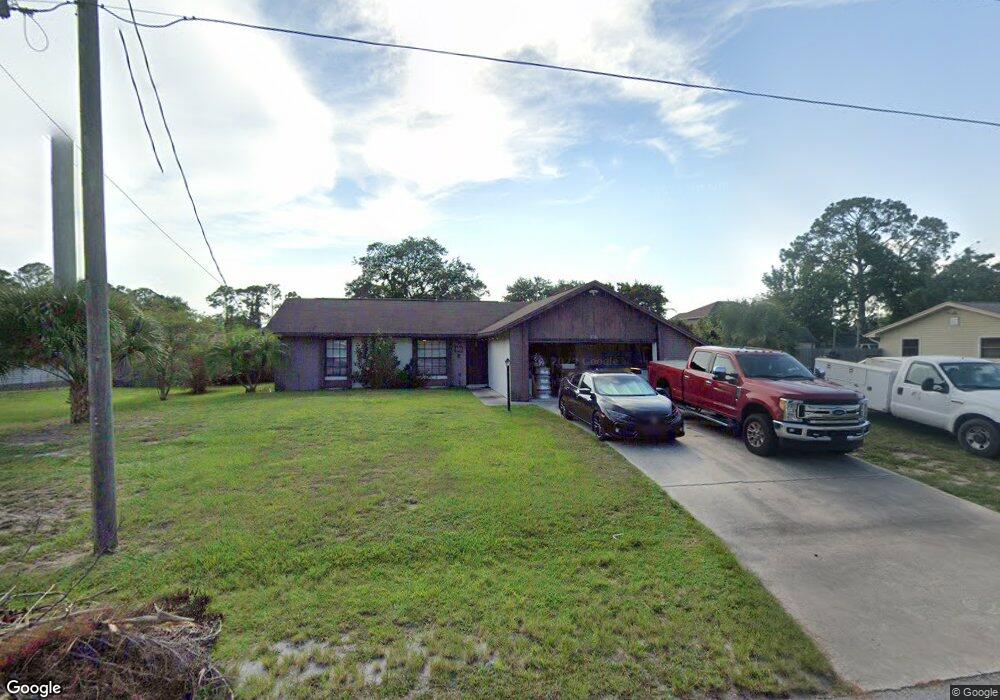
This home is located at 5456 Flint Rd, Cocoa, FL 32927 and is currently estimated at $257,342, approximately $242 per square foot. 5456 Flint Rd is a home located in Brevard County with nearby schools including Enterprise Elementary School, Space Coast Junior/Senior High School, and East Atlantic Prep of Brevard County.
Ownership History
Date
Name
Owned For
Owner Type
Purchase Details
Closed on
Jul 20, 2023
Sold by
Ferguson Family Trust
Bought by
Henderson Mendy R
Current Estimated Value
Purchase Details
Closed on
Mar 27, 2006
Sold by
Ferguson Glenn D and Ferguson Naomi F
Bought by
Ferguson Glenn D and Ferguson Naomi F
Purchase Details
Closed on
Jun 16, 1995
Sold by
Coston Frank L and Coston Opal M
Bought by
Ferguson Glenn D and Ferguson Naomi
Create a Home Valuation Report for This Property
The Home Valuation Report is an in-depth analysis detailing your home's value as well as a comparison with similar homes in the area
Home Values in the Area
Average Home Value in this Area
Purchase History
| Date | Buyer | Sale Price | Title Company |
|---|---|---|---|
| Henderson Mendy R | $100 | None Listed On Document | |
| Henderson Mendy R | $100 | None Listed On Document | |
| Ferguson Glenn D | -- | None Available | |
| Ferguson Glenn D | $65,900 | -- |
Source: Public Records
Tax History
| Year | Tax Paid | Tax Assessment Tax Assessment Total Assessment is a certain percentage of the fair market value that is determined by local assessors to be the total taxable value of land and additions on the property. | Land | Improvement |
|---|---|---|---|---|
| 2025 | $2,736 | $211,480 | -- | -- |
| 2024 | $835 | $215,400 | -- | -- |
| 2023 | $835 | $72,810 | $0 | $0 |
| 2022 | $817 | $70,690 | $0 | $0 |
| 2021 | $814 | $68,640 | $0 | $0 |
| 2020 | $777 | $67,700 | $0 | $0 |
| 2019 | $722 | $66,180 | $0 | $0 |
| 2018 | $721 | $64,950 | $0 | $0 |
| 2017 | $719 | $63,620 | $0 | $0 |
| 2016 | $721 | $62,320 | $27,000 | $35,320 |
| 2015 | $723 | $61,890 | $22,500 | $39,390 |
| 2014 | $724 | $61,400 | $16,500 | $44,900 |
Source: Public Records
Map
Nearby Homes
- 6438 Hudson Rd
- 6450 Ember Ave
- 6481 La Brea Ave
- 5601 Banos Ave
- 5220 Holden Rd
- 5680 Banos Ave
- 00 Unknown
- 6615 Dock Ave
- 5215 Holden Rd
- 6581 Bancroft Ave
- 5721 Beaverbrook St
- 5221 Carrick Rd
- 6398 Cable Ave
- 6643 Emil Ave
- 6760 Cairo Rd
- 6375 Cable Ave
- 6020 Cannon Ave
- 6240 Grissom Pkwy
- 6815 Bryant Rd
- 5946 Deer Ln
- 5448 Flint Rd
- 5464 Flint Rd
- 6395 Gillette Ave
- 5440 Flint Rd
- 5465 Flint Rd
- 6405 Gillette Ave
- 5473 Flint Rd
- 5449 Flint Rd
- 5480 Flint Rd
- 6365 Gillette Ave
- 5441 Flint Rd
- 5432 Flint Rd
- 6406 Fairchild Ave
- 6380 Gillette Ave
- 6425 Gillette Ave
- 6400 Gillette Ave
- 5481 Flint Rd
- 5488 Flint Rd
- 6382 Fairchild Ave
- 5485 Flint Rd
Your Personal Tour Guide
Ask me questions while you tour the home.