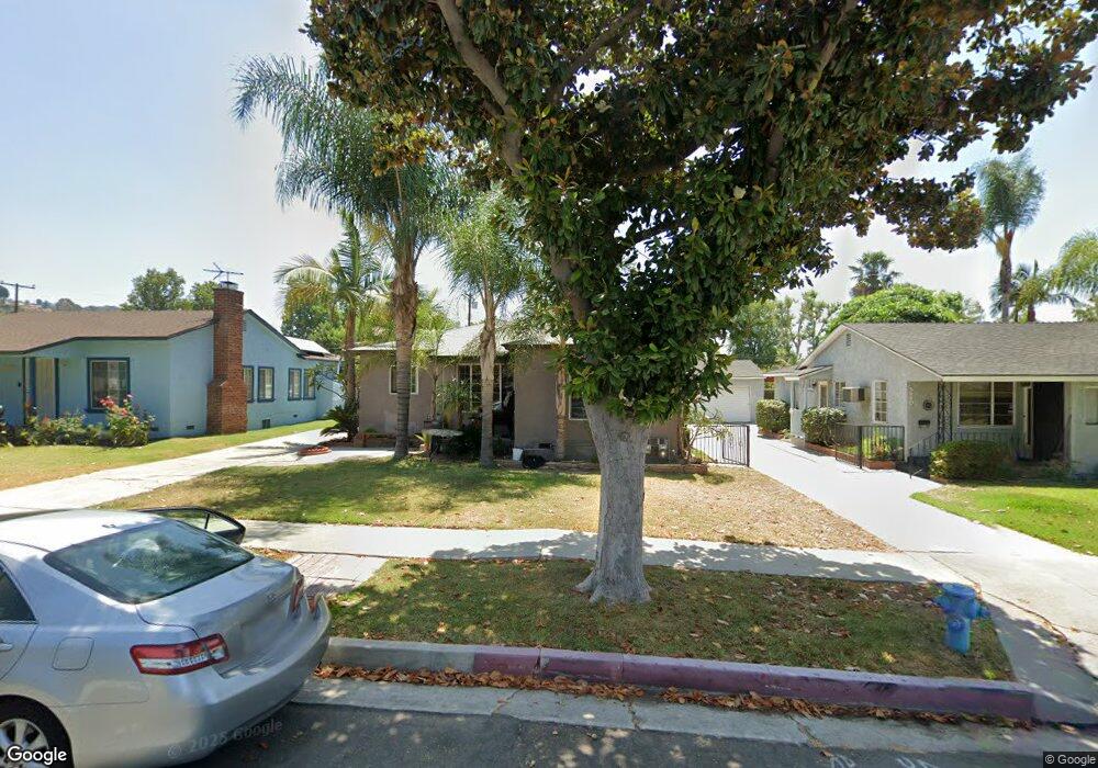
5456 Mavis Ave Whittier, CA 90601
West Whittier NeighborhoodEstimated Value: $671,000 - $960,000
About This Home
This home is located at 5456 Mavis Ave, Whittier, CA 90601 and is currently estimated at $792,682, approximately $792 per square foot. 5456 Mavis Ave is a home located in Los Angeles County with nearby schools including Orange Grove Elementary School, Walter F. Dexter Middle School, and Whittier High School.
Ownership History
We collect this data history from publicly available records. To have your information removed, we recommend requesting removal directly through your county’s website.
Purchase Details
Home Financials for this Owner
Home Financials are based on the most recent Mortgage that was taken out on this home.Purchase Details
Home Values in the Area
Average Home Value in this Area
Purchase History
We collect this data history from publicly available records. To have your information removed, we recommend requesting removal directly through your county’s website.
| Date | Buyer | Sale Price | Title Company |
|---|---|---|---|
| $395,000 | Fatcola | ||
| -- | -- |
Mortgage History
We collect this data history from publicly available records. To have your information removed, we recommend requesting removal directly through your county’s website.
| Date | Status | Borrower | Loan Amount |
|---|---|---|---|
| Open | $316,000 | ||
| Closed | $59,250 |
Tax History
We collect this data history from publicly available records. To have your information removed, we recommend requesting removal directly through your county’s website.
| Year | Tax Paid | Tax Assessment Tax Assessment Total Assessment is a certain percentage of the fair market value that is determined by local assessors to be the total taxable value of land and additions on the property. | Land | Improvement |
|---|---|---|---|---|
| 2025 | $7,173 | $550,578 | $440,469 | $110,109 |
| 2024 | $6,681 | $539,783 | $431,833 | $107,950 |
| 2023 | $6,501 | $529,200 | $423,366 | $105,834 |
| 2022 | $6,320 | $518,824 | $415,065 | $103,759 |
| 2021 | $6,210 | $508,652 | $406,927 | $101,725 |
| 2019 | $6,141 | $493,566 | $394,858 | $98,708 |
| 2018 | $5,978 | $483,889 | $387,116 | $96,773 |
| 2016 | $5,166 | $415,000 | $331,000 | $84,000 |
| 2015 | $4,984 | $401,000 | $320,000 | $81,000 |
| 2014 | $4,730 | $378,000 | $302,000 | $76,000 |
Map
- 5522 Norwalk Blvd
- 10602 Monaco Ct
- 5305 Davidson Dr
- 10605 Cordoba Ct
- 5411 Cadbury Rd
- 5456 Cadbury Rd
- 5519 Pioneer Blvd Unit 42
- 5577 Pioneer Blvd Unit 9
- 5903 Redman Ave
- 11837 Rideout Way
- 5816 Juarez Ave
- 5814 Juarez Ave
- 11325 Howard St
- 10608 Whittier Blvd
- 6028 Mcnees Ave
- 10853 Glencannon Dr
- 6233 Vicki Dr
- 6217 Norwalk Blvd
- 12408 Carinthia Dr
- 3832 Abbeywood Ave
- 5460 Mavis Ave
- 5502 Mavis Ave
- 5508 Mavis Ave
- 5450 Mavis Ave
- 5461 Rockne Ave
- 5457 Rockne Ave
- 5503 Rockne Ave
- 5512 Mavis Ave
- 5446 Mavis Ave
- 5451 Rockne Ave
- 5507 Rockne Ave
- 5461 Mavis Ave
- 5503 Mavis Ave
- 5457 Mavis Ave
- 5518 Mavis Ave
- 5440 Mavis Ave
- 5447 Rockne Ave
- 5513 Rockne Ave
- 5451 Mavis Ave
- 5507 Mavis Ave
Ask me questions while you tour the home.