5459 Ga Highway 24 W Waynesboro, GA 30830
Estimated Value: $727,000 - $929,236
--
Bed
--
Bath
4,867
Sq Ft
$170/Sq Ft
Est. Value
About This Home
This home is located at 5459 Ga Highway 24 W, Waynesboro, GA 30830 and is currently estimated at $828,118, approximately $170 per square foot. 5459 Ga Highway 24 W is a home with nearby schools including Burke County High School.
Ownership History
Date
Name
Owned For
Owner Type
Purchase Details
Closed on
Feb 17, 2015
Sold by
Cooper Albert E
Bought by
Of Bryant Grove Bapti
Current Estimated Value
Purchase Details
Closed on
Dec 30, 1999
Sold by
Webster Marilyn S
Bought by
Cooper Albert E
Purchase Details
Closed on
Jul 15, 1996
Bought by
Webster Marilyn S
Create a Home Valuation Report for This Property
The Home Valuation Report is an in-depth analysis detailing your home's value as well as a comparison with similar homes in the area
Home Values in the Area
Average Home Value in this Area
Purchase History
| Date | Buyer | Sale Price | Title Company |
|---|---|---|---|
| Of Bryant Grove Bapti | $7,500 | -- | |
| Cooper Albert E | $289,200 | -- | |
| Webster Marilyn S | $1,200 | -- |
Source: Public Records
Tax History Compared to Growth
Tax History
| Year | Tax Paid | Tax Assessment Tax Assessment Total Assessment is a certain percentage of the fair market value that is determined by local assessors to be the total taxable value of land and additions on the property. | Land | Improvement |
|---|---|---|---|---|
| 2024 | $2,402 | $313,841 | $92,027 | $221,814 |
| 2023 | $2,674 | $304,438 | $83,848 | $220,590 |
| 2022 | $2,217 | $258,930 | $79,201 | $179,729 |
| 2021 | $2,057 | $230,268 | $79,201 | $151,067 |
| 2020 | $2,047 | $230,268 | $79,201 | $151,067 |
| 2019 | $1,980 | $217,610 | $79,193 | $138,417 |
| 2018 | $1,953 | $217,026 | $79,193 | $137,833 |
| 2017 | $1,892 | $207,969 | $64,061 | $143,908 |
| 2016 | $3,705 | $207,969 | $64,061 | $143,908 |
| 2015 | $4,618 | $205,438 | $64,189 | $141,250 |
| 2014 | $4,653 | $205,439 | $64,189 | $141,250 |
| 2013 | -- | $205,438 | $64,188 | $141,250 |
Source: Public Records
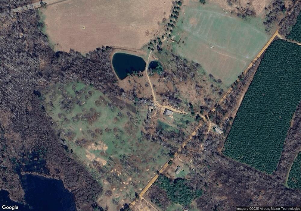
Map
Nearby Homes
- 371 Hills Mill Pond Rd
- 389 Hills Mill Pond Rd
- 367 Hills Mill Pond Rd
- 435 Hills Mill Pond Rd
- 5354 Ga Highway 24 W
- 5753 Ga Highway 24 W
- 5284 Ga Highway 24 W
- 5284 Ga Highway 24 W
- 729 Hills Mill Pond Rd
- 5306 Ga Highway 24 W
- 5306 Ga Highway 24 W
- 5137 Ga Highway 24 W
- 5123 Ga Highway 24 W
- 5123 Ga Highway 24 W
- 174 Wyatt Place Rd
- 5103 Ga Highway 24 W
- 532 Wyatt Place Rd