546 Arbor Ln Saint Clair, MO 63077
Estimated Value: $215,809 - $265,000
3
Beds
1
Bath
1,006
Sq Ft
$228/Sq Ft
Est. Value
About This Home
This home is located at 546 Arbor Ln, Saint Clair, MO 63077 and is currently estimated at $229,202, approximately $227 per square foot. 546 Arbor Ln is a home located in Franklin County with nearby schools including St. Clair Elementary School, Edgar Murray Elementary School, and St. Clair Junior High School.
Ownership History
Date
Name
Owned For
Owner Type
Purchase Details
Closed on
Dec 13, 2017
Sold by
Bartz Toby and Bartz Melinda
Bought by
Bartz Toby and Bartz Melinda
Current Estimated Value
Purchase Details
Closed on
Jan 21, 2005
Sold by
Boulder Development Corporation
Bought by
Bartz Tody and Friend Melinda
Home Financials for this Owner
Home Financials are based on the most recent Mortgage that was taken out on this home.
Original Mortgage
$106,981
Outstanding Balance
$53,826
Interest Rate
5.8%
Mortgage Type
FHA
Estimated Equity
$175,376
Create a Home Valuation Report for This Property
The Home Valuation Report is an in-depth analysis detailing your home's value as well as a comparison with similar homes in the area
Home Values in the Area
Average Home Value in this Area
Purchase History
| Date | Buyer | Sale Price | Title Company |
|---|---|---|---|
| Bartz Toby | -- | Carrington Title | |
| Bartz Tody | -- | None Available |
Source: Public Records
Mortgage History
| Date | Status | Borrower | Loan Amount |
|---|---|---|---|
| Open | Bartz Tody | $106,981 |
Source: Public Records
Tax History
| Year | Tax Paid | Tax Assessment Tax Assessment Total Assessment is a certain percentage of the fair market value that is determined by local assessors to be the total taxable value of land and additions on the property. | Land | Improvement |
|---|---|---|---|---|
| 2025 | $1,844 | $29,136 | $0 | $0 |
| 2024 | $1,844 | $21,498 | $0 | $0 |
| 2023 | $1,236 | $21,498 | $0 | $0 |
| 2022 | $1,348 | $23,402 | $0 | $0 |
| 2021 | $1,346 | $23,402 | $0 | $0 |
| 2020 | $1,269 | $21,130 | $0 | $0 |
| 2019 | $1,259 | $21,130 | $0 | $0 |
| 2018 | $1,159 | $19,186 | $0 | $0 |
| 2017 | $1,158 | $19,186 | $0 | $0 |
| 2016 | $1,117 | $18,470 | $0 | $0 |
| 2015 | $1,031 | $18,470 | $0 | $0 |
| 2014 | $1,041 | $18,627 | $0 | $0 |
Source: Public Records
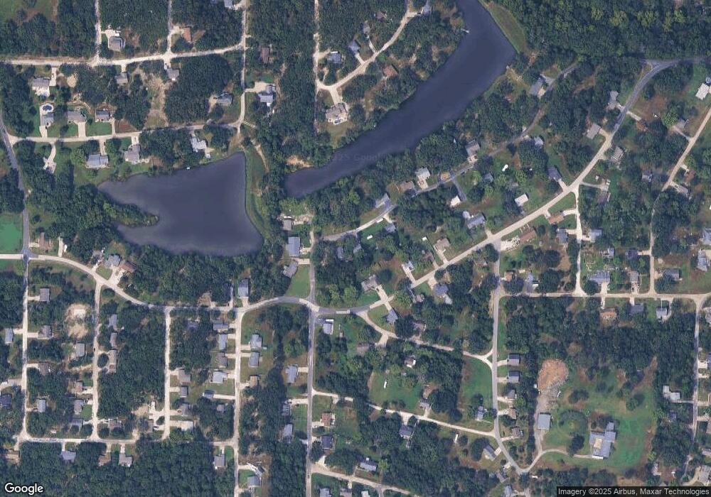
Map
Nearby Homes
- 440 Lake Shore Dr
- 505 Rosehill Ln
- 0 Oakwood Dr
- 445 Lakeshore Dr
- 1420 Sandpiper Dr
- 0 Crescent Lake Rd Unit MIS25079528
- 1008 Cathy Cir
- 1675 Peacock Rd
- 0 Peacock Rd
- 1155 Crabapple Ln
- 1149 Elm Tree Ct
- 45 E Oak St
- 208 Mosley Ave
- 830 Walton St
- 5 Lots Mosley Ave
- 347 Roller Rd
- 330 Young St
- 235 E Oak St
- 614 T-Box Dr
- 100 E North St
Your Personal Tour Guide
Ask me questions while you tour the home.