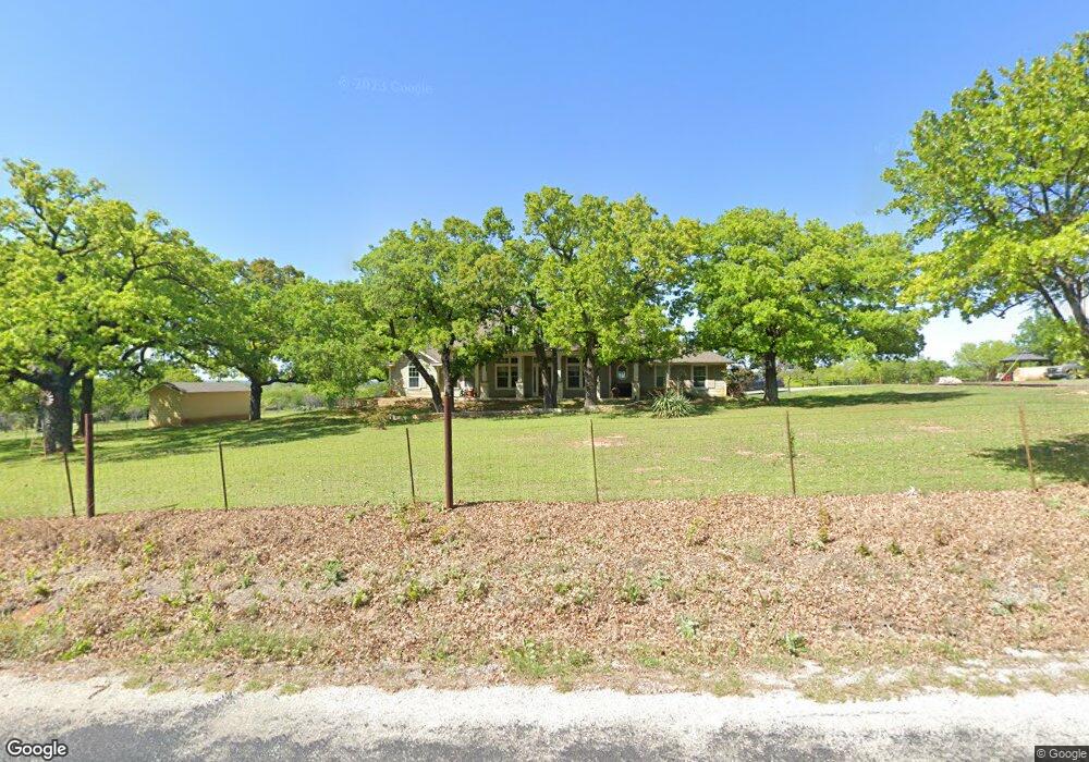
546 County Road 1111 Decatur, TX 76234
Estimated Value: $540,002 - $967,000
--
Bed
--
Bath
2,733
Sq Ft
$300/Sq Ft
Est. Value
About This Home
This home is located at 546 County Road 1111, Decatur, TX 76234 and is currently estimated at $818,751, approximately $299 per square foot. 546 County Road 1111 is a home located in Wise County with nearby schools including Decatur High School.
Ownership History
Date
Name
Owned For
Owner Type
Purchase Details
Closed on
May 26, 2006
Sold by
Buck Francesca Dean
Bought by
Powell Christopher and Copeland Theresa
Current Estimated Value
Purchase Details
Closed on
Jun 20, 1994
Bought by
Powell Christopher and Copeland Theresa
Purchase Details
Closed on
Jan 25, 1993
Bought by
Powell Christopher and Copeland Theresa
Purchase Details
Closed on
Jan 1, 1901
Bought by
Powell Christopher and Copeland Theresa
Create a Home Valuation Report for This Property
The Home Valuation Report is an in-depth analysis detailing your home's value as well as a comparison with similar homes in the area
Home Values in the Area
Average Home Value in this Area
Purchase History
| Date | Buyer | Sale Price | Title Company |
|---|---|---|---|
| Powell Christopher | -- | -- | |
| Powell Christopher | -- | -- | |
| Powell Christopher | -- | -- | |
| Powell Christopher | -- | -- |
Source: Public Records
Tax History Compared to Growth
Tax History
| Year | Tax Paid | Tax Assessment Tax Assessment Total Assessment is a certain percentage of the fair market value that is determined by local assessors to be the total taxable value of land and additions on the property. | Land | Improvement |
|---|---|---|---|---|
| 2025 | $2,330 | $255,113 | $13,031 | $242,082 |
| 2024 | $2,330 | $238,736 | $11,901 | $226,835 |
| 2023 | $2,672 | $429,751 | $0 | $0 |
| 2022 | $2,977 | $381,617 | $0 | $0 |
| 2021 | $2,828 | $328,210 | $147,450 | $180,760 |
| 2020 | $2,588 | $271,640 | $117,825 | $153,815 |
| 2019 | $2,756 | $271,640 | $117,825 | $153,815 |
| 2018 | $5,942 | $255,890 | $93,710 | $162,180 |
| 2017 | $5,572 | $420,440 | $115,340 | $305,100 |
| 2016 | $5,017 | $382,100 | $107,770 | $274,330 |
| 2015 | -- | $373,530 | $100,180 | $273,350 |
| 2014 | -- | $269,080 | $6,570 | $262,510 |
Source: Public Records
Map
Nearby Homes
- 910 County Road 1111
- 293 County Road 1111
- 00 Farm To Market Road 1810
- 263 Eastridge Rd
- 258 W Ridge St
- 817 Farm To Market Road 1810
- 286 W Ridge St
- 209 Rio Rancho Dr
- 189 Rio Rancho Dr
- 206 Rio Rancho Dr
- 159 Rio Rancho Dr
- 131 San Miguel Dr
- 200 County Road 1260
- 112 La Paloma Way
- 516 Wild Wood Dr
- 362 County Road 1170
- 119 Private Road 1186
- 380 Private Road 4219
- 175 County Road 1109
- 365 County Road 1180
- 0 County Road 1111 Unit 13581457
- 0 County Road 1111 Unit 11780778
- 00 County Rd 1111
- 0 Cr 1111 Unit 13098639
- 2R-1 County Rd 1111
- 2R-2 County Rd 1111
- 514 County Road 1111
- 474 County Road 1111
- 1338 County Road 1111
- 530 County Road 1111
- TBD County Road 1111
- 1985 County Road 1111
- 1015 County Road 1111
- 756 County Road 1111
- 00 Pr 1106
- 0 Pr 1106 Unit 11388091
- 466 County Road 1111
- 466 County Road 1111
- 197 Pr-1106
- 495 County Road 1111