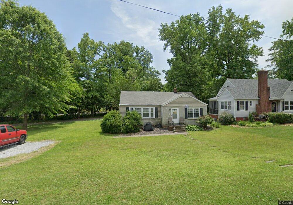
546 E Farriss Ave High Point, NC 27262
Greater High Point NeighborhoodEstimated Value: $155,000 - $214,000
About This Home
This home is located at 546 E Farriss Ave, High Point, NC 27262 and is currently estimated at $189,569, approximately $138 per square foot. 546 E Farriss Ave is a home located in Guilford County with nearby schools including Kirkman Park Elementary School, Penn-Griffin School for the Arts, and T.W. Andrews High School.
Ownership History
We collect this data history from publicly available records. To have your information removed, we recommend requesting removal directly through your county’s website.
Purchase Details
Purchase Details
Purchase Details
Purchase Details
Purchase Details
Home Financials for this Owner
Home Financials are based on the most recent Mortgage that was taken out on this home.Home Values in the Area
Average Home Value in this Area
Purchase History
We collect this data history from publicly available records. To have your information removed, we recommend requesting removal directly through your county’s website.
| Date | Buyer | Sale Price | Title Company |
|---|---|---|---|
| $85,000 | None Listed On Document | ||
| $127,000 | None Listed On Document | ||
| -- | None Available | ||
| $750 | None Available | ||
| $2,000 | None Available | ||
| $76,000 | -- |
Mortgage History
We collect this data history from publicly available records. To have your information removed, we recommend requesting removal directly through your county’s website.
| Date | Status | Borrower | Loan Amount |
|---|---|---|---|
| Previous Owner | $68,400 |
Tax History
We collect this data history from publicly available records. To have your information removed, we recommend requesting removal directly through your county’s website.
| Year | Tax Paid | Tax Assessment Tax Assessment Total Assessment is a certain percentage of the fair market value that is determined by local assessors to be the total taxable value of land and additions on the property. | Land | Improvement |
|---|---|---|---|---|
| 2025 | $1,484 | $107,700 | $30,000 | $77,700 |
| 2024 | $1,484 | $101,900 | $30,000 | $71,900 |
| 2023 | $1,484 | $101,900 | $30,000 | $71,900 |
| 2022 | $1,452 | $107,700 | $30,000 | $77,700 |
| 2021 | $1,127 | $81,800 | $22,000 | $59,800 |
| 2020 | $1,127 | $81,800 | $22,000 | $59,800 |
| 2019 | $1,127 | $81,800 | $0 | $0 |
| 2018 | $1,122 | $81,800 | $0 | $0 |
| 2017 | $1,122 | $81,800 | $0 | $0 |
| 2016 | $1,149 | $81,900 | $0 | $0 |
| 2015 | $1,155 | $81,900 | $0 | $0 |
| 2014 | $1,174 | $81,900 | $0 | $0 |
Map
- 719 Forrest St
- 528 E Farriss Ave
- 934 Forrest St
- 608 E Lexington Ave
- 321 Louise Ave
- 219 Woodrow Ave
- 220 Woodrow Ave
- 504 4th St
- 1011 N Hamilton St
- 907 E Dayton Ave
- 1310 Madison St
- 1102 Johnson St
- 323 4th St
- 531 N Hamilton St Unit L
- 419 Hobson St
- 1434 N Hamilton St
- 411 Hobson St
- 1428 Futrelle Dr
- 844 Willow Place
- 413 & 415 E Dayton Ave
- 544 E Farriss Ave
- 542 E Farriss Ave
- 727 Forrest St
- 547 E Farriss Ave
- 540 E Farriss Ave
- 723 Forrest St
- 720 Brookside Dr
- 811 Putnam St
- 538 E Farriss Ave
- 545 E Farriss Ave
- 543 E Farriss Ave
- 536 E Farriss Ave
- 541 E Farriss Ave
- 808 Putnam St
- 726 Forrest St
- 728 Forrest St
- 718 Brookside Dr
- 724 Forrest St
- 730 Forrest St
- 810 Putnam St
Ask me questions while you tour the home.