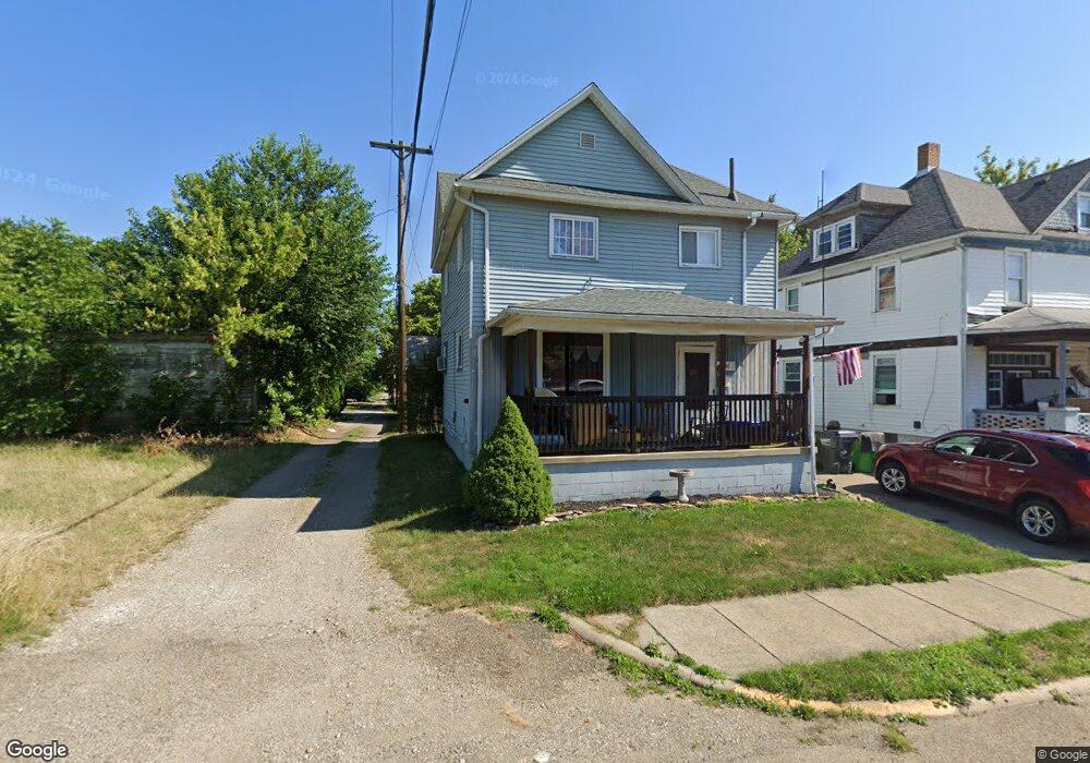
546 E Summit St Alliance, OH 44601
Estimated Value: $64,183 - $122,000
3
Beds
1
Bath
1,328
Sq Ft
$63/Sq Ft
Est. Value
About This Home
This home is located at 546 E Summit St, Alliance, OH 44601 and is currently estimated at $83,046, approximately $62 per square foot. 546 E Summit St is a home located in Stark County with nearby schools including Alliance Intermediate School at Northside, Alliance Elementary School at Rockhill, and Alliance Middle School.
Ownership History
Date
Name
Owned For
Owner Type
Purchase Details
Closed on
Sep 3, 2008
Sold by
Hyatt James and Hyatt Deborah
Bought by
Schroeder Herbert T and Schroeder Hong T
Current Estimated Value
Purchase Details
Closed on
May 17, 2005
Sold by
Shutler Amy L
Bought by
Hyatt James and Hyatt Deborah
Purchase Details
Closed on
Nov 26, 1996
Sold by
Culver Howard R
Bought by
Anderson Amy L
Home Financials for this Owner
Home Financials are based on the most recent Mortgage that was taken out on this home.
Original Mortgage
$16,400
Interest Rate
7.94%
Mortgage Type
New Conventional
Create a Home Valuation Report for This Property
The Home Valuation Report is an in-depth analysis detailing your home's value as well as a comparison with similar homes in the area
Home Values in the Area
Average Home Value in this Area
Purchase History
| Date | Buyer | Sale Price | Title Company |
|---|---|---|---|
| Schroeder Herbert T | $12,000 | Land America-Lawyers Title | |
| Hyatt James | -- | -- | |
| Anderson Amy L | $11,000 | -- |
Source: Public Records
Mortgage History
| Date | Status | Borrower | Loan Amount |
|---|---|---|---|
| Previous Owner | Anderson Amy L | $16,400 |
Source: Public Records
Tax History Compared to Growth
Tax History
| Year | Tax Paid | Tax Assessment Tax Assessment Total Assessment is a certain percentage of the fair market value that is determined by local assessors to be the total taxable value of land and additions on the property. | Land | Improvement |
|---|---|---|---|---|
| 2025 | -- | $13,800 | $1,580 | $12,220 |
| 2024 | -- | $13,800 | $1,580 | $12,220 |
| 2023 | $298 | $7,250 | $810 | $6,440 |
| 2022 | $150 | $7,250 | $810 | $6,440 |
| 2021 | $301 | $7,250 | $810 | $6,440 |
| 2020 | $279 | $6,270 | $700 | $5,570 |
| 2019 | $275 | $6,270 | $700 | $5,570 |
| 2018 | $276 | $6,270 | $700 | $5,570 |
| 2017 | $242 | $5,400 | $600 | $4,800 |
| 2016 | $244 | $5,400 | $600 | $4,800 |
| 2015 | $247 | $5,400 | $600 | $4,800 |
| 2014 | $150 | $3,120 | $560 | $2,560 |
| 2013 | $75 | $3,120 | $560 | $2,560 |
Source: Public Records
Map
Nearby Homes
- 452 E Summit St
- 442 S Liberty Ave
- 1005 S Freedom Ave
- 432 S Linden Ave
- 814 Milner St
- V/L S Fredeom Ave
- 831 Wade Ave
- 1044 S Liberty Ave
- 1175 S Freedom Ave
- 356 E Broadway St
- 142 S Seneca Ave
- 551 South St
- 807 S Union Ave
- 361 E Main St
- 1395 S Webb Ave
- 427 S Union Ave
- 729 Waugh St
- 1233 Woodland Ave
- 1437 S Linden Ave
- 140 W Summit St
- 550 E Summit St
- 536 E Summit St
- 683 S Seneca Ave
- 703 S Seneca Ave
- 663 S Seneca Ave
- 525 E Summit St
- 674 S Freedom Ave
- 519 Mcnally Ct
- 686 S Freedom Ave
- 717 S Seneca Ave
- 655 S Seneca Ave
- 526 Mcnally Ct
- 704 S Freedom Ave
- 520 Mcnally Ct
- 660 S Freedom Ave
- 727 S Seneca Ave
- 604 E Summit St
- 726 S Freedom Ave
- 716 S Freedom Ave
- 647 S Seneca Ave