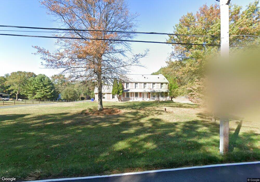
546 Ednor Rd Ashton, MD 20861
Ashton-Sandy Spring NeighborhoodEstimated Value: $633,000 - $910,000
Studio
1
Bath
2,464
Sq Ft
$321/Sq Ft
Est. Value
About This Home
This home is located at 546 Ednor Rd, Ashton, MD 20861 and is currently estimated at $790,687, approximately $320 per square foot. 546 Ednor Rd is a home located in Montgomery County with nearby schools including Sherwood Elementary School, William H. Farquhar Middle School, and Manistee Harbor Academy.
Ownership History
Date
Name
Owned For
Owner Type
Purchase Details
Closed on
Dec 15, 2015
Sold by
Sharma Sashahi and Sharma Yash
Bought by
Korutil Brian L and Kroutil Katia G
Current Estimated Value
Home Financials for this Owner
Home Financials are based on the most recent Mortgage that was taken out on this home.
Original Mortgage
$47,952
Outstanding Balance
$38,264
Interest Rate
3.98%
Mortgage Type
Commercial
Estimated Equity
$752,423
Purchase Details
Closed on
Jun 29, 1988
Bought by
Sharma Yash and Sharma S
Create a Home Valuation Report for This Property
The Home Valuation Report is an in-depth analysis detailing your home's value as well as a comparison with similar homes in the area
Home Values in the Area
Average Home Value in this Area
Purchase History
| Date | Buyer | Sale Price | Title Company |
|---|---|---|---|
| Korutil Brian L | $480,000 | Old Republic National Title | |
| Sharma Yash | $250,000 | -- |
Source: Public Records
Mortgage History
| Date | Status | Borrower | Loan Amount |
|---|---|---|---|
| Open | Korutil Brian L | $47,952 | |
| Previous Owner | Korutil Brian L | $384,000 | |
| Previous Owner | Korutil Brian L | $47,952 |
Source: Public Records
Tax History Compared to Growth
Tax History
| Year | Tax Paid | Tax Assessment Tax Assessment Total Assessment is a certain percentage of the fair market value that is determined by local assessors to be the total taxable value of land and additions on the property. | Land | Improvement |
|---|---|---|---|---|
| 2025 | $7,818 | $682,633 | -- | -- |
| 2024 | $7,818 | $635,067 | $0 | $0 |
| 2023 | $6,556 | $587,500 | $255,400 | $332,100 |
| 2022 | $4,684 | $581,167 | $0 | $0 |
| 2021 | $6,064 | $574,833 | $0 | $0 |
| 2020 | $5,970 | $568,500 | $255,400 | $313,100 |
| 2019 | $5,752 | $550,133 | $0 | $0 |
| 2018 | $5,552 | $531,767 | $0 | $0 |
| 2017 | $5,469 | $513,400 | $0 | $0 |
| 2016 | -- | $504,367 | $0 | $0 |
| 2015 | $5,710 | $495,333 | $0 | $0 |
| 2014 | $5,710 | $486,300 | $0 | $0 |
Source: Public Records
Map
Nearby Homes
- 900 Tucker Ln
- 16612 Medinah Ct
- 17731 Striley Dr
- 1325 Patuxent Dr
- 1401 Tucker Ln
- 17812 Hidden Garden Ln
- 550 Bryants Nursery Rd
- 211 Olney Sandy Spring Rd
- 1225 Spencerville Rd
- 401 Bryants Nursery Rd
- 601 Bryants Nursery Rd
- 15801 New Hampshire Ave
- 1625 Ashton Rd
- 17734 Norwood Rd
- 200 Ashcroft Ct
- 1216 Ashton Rd
- 15408 Valencia St
- 15325 Holly Grove Rd
- 15101 Snowden Dr
- 1621 Olney Sandy Spring Rd
- 550 Ednor Rd
- 546 Ednor Rd
- 600 Ednor Rd
- 600 Ednor Rd
- 540 Ednor Rd
- 17108 Bittersweet Ln
- 604 Ednor Rd
- 17104 Bittersweet Ln
- 17100 Bittersweet Ln
- 544 Ednor Rd
- 608 Ednor Rd
- 17112 Bittersweet Ln
- 530 Ednor Rd
- 17101 Bittersweet Ln
- 612 Ednor Rd
- 612 Ednor Rd
- 17105 Bittersweet Ln
- 16827 Harbour Town Dr
- 16825 Harbour Town Dr
- 17109 Bittersweet Ln
