546 Perry Rd Armuchee, GA 30105
Estimated Value: $209,000 - $524,954
--
Bed
1
Bath
1,092
Sq Ft
$294/Sq Ft
Est. Value
About This Home
This home is located at 546 Perry Rd, Armuchee, GA 30105 and is currently estimated at $320,651, approximately $293 per square foot. 546 Perry Rd is a home with nearby schools including Armuchee High School.
Ownership History
Date
Name
Owned For
Owner Type
Purchase Details
Closed on
Apr 21, 2023
Sold by
Hicks Dennis Rowan
Bought by
Hicks Dennison Trent and Hicks Brenden Kyle
Current Estimated Value
Purchase Details
Closed on
Aug 23, 2019
Sold by
Hicks Dennis Rowan
Bought by
Hicks Dennison Trent and Hicks Brenden Kyle
Purchase Details
Closed on
Jul 23, 2004
Sold by
Hicks Sherman and Hicks Lois
Bought by
Hicks Lois
Purchase Details
Closed on
Feb 1, 1983
Bought by
P and R
Purchase Details
Closed on
Nov 1, 1965
Sold by
Hicks Sherman
Bought by
Hicks Sherman and Hicks Lois
Purchase Details
Closed on
Jan 1, 1955
Bought by
Hicks Sherman
Create a Home Valuation Report for This Property
The Home Valuation Report is an in-depth analysis detailing your home's value as well as a comparison with similar homes in the area
Purchase History
| Date | Buyer | Sale Price | Title Company |
|---|---|---|---|
| Hicks Dennison Trent | -- | -- | |
| Hicks Dennis Rowan | -- | -- | |
| Hicks Dennison Trent | -- | -- | |
| Hicks Lois | -- | -- | |
| P | -- | -- | |
| Hicks Sherman | -- | -- | |
| Hicks Sherman | -- | -- |
Source: Public Records
Tax History
| Year | Tax Paid | Tax Assessment Tax Assessment Total Assessment is a certain percentage of the fair market value that is determined by local assessors to be the total taxable value of land and additions on the property. | Land | Improvement |
|---|---|---|---|---|
| 2025 | $1,068 | $213,377 | $176,743 | $36,634 |
| 2024 | $1,068 | $190,650 | $153,480 | $37,170 |
| 2023 | $1,943 | $186,014 | $153,480 | $32,534 |
| 2022 | $1,551 | $146,074 | $122,400 | $23,674 |
| 2021 | $1,392 | $105,568 | $86,696 | $18,872 |
| 2020 | $911 | $94,542 | $76,676 | $17,866 |
| 2019 | $819 | $93,554 | $76,676 | $16,878 |
| 2018 | $808 | $82,484 | $66,592 | $15,892 |
| 2017 | $806 | $81,876 | $66,592 | $15,284 |
| 2016 | $787 | $81,473 | $66,560 | $14,913 |
| 2015 | $667 | $81,473 | $66,560 | $14,913 |
| 2014 | $667 | $81,473 | $1,160 | $80,313 |
Source: Public Records
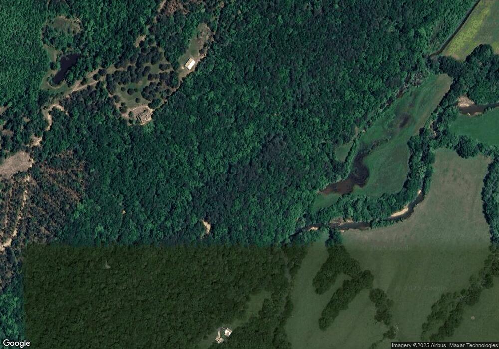
Map
Nearby Homes
- 5967 Martha Berry Hwy
- 0 Big Texas Valley Rd NW Unit 10681966
- 00 Big Texas Valley Rd NW
- 4494 Old Summerville Rd
- 70 Old Summerville Rd
- 6729 Big Texas Valley Rd NW
- 1450 Highway 27
- 0 Ben Mosley Cir Unit 25735821
- 0 Ben Mosley Cir Unit 10654033
- 1024 New Rosedale Rd NE
- 1129 Farmersville Rd
- 0 Highway 140 Unit 20164671
- 733 Unity Church Rd
- 0 W Valley Dr Unit 25949847
- 00 Westvalley Dr
- 722 Floyd Springs Rd NE
- 0 Westvalley Dr NW Unit 7722073
- 0 Westvalley Dr NW Unit 10694893
- 0 Westvalley Dr NW Unit 10694896
- 1465 Turner Rd NE
- 467 Perry Rd
- 467 Perry Rd
- 467 Perry Rd
- 412 Perry Rd NE
- 479 Perry Rd
- 383 Perry Rd
- 340 Perry Rd
- 322 Perry Rd
- 181 Millstone Mountain Rd
- 325 Perry Rd
- 307 Perry Rd
- 295 Perry Rd
- 272 Perry Rd
- 250 Perry Rd
- 250 Perry Rd
- 259 Perry Rd
- 259 Perry Rd
- 1248 Haywood Valley Rd
- 122 Millstone Mountain Rd
- 1513 Haywood Valley Rd
Your Personal Tour Guide
Ask me questions while you tour the home.