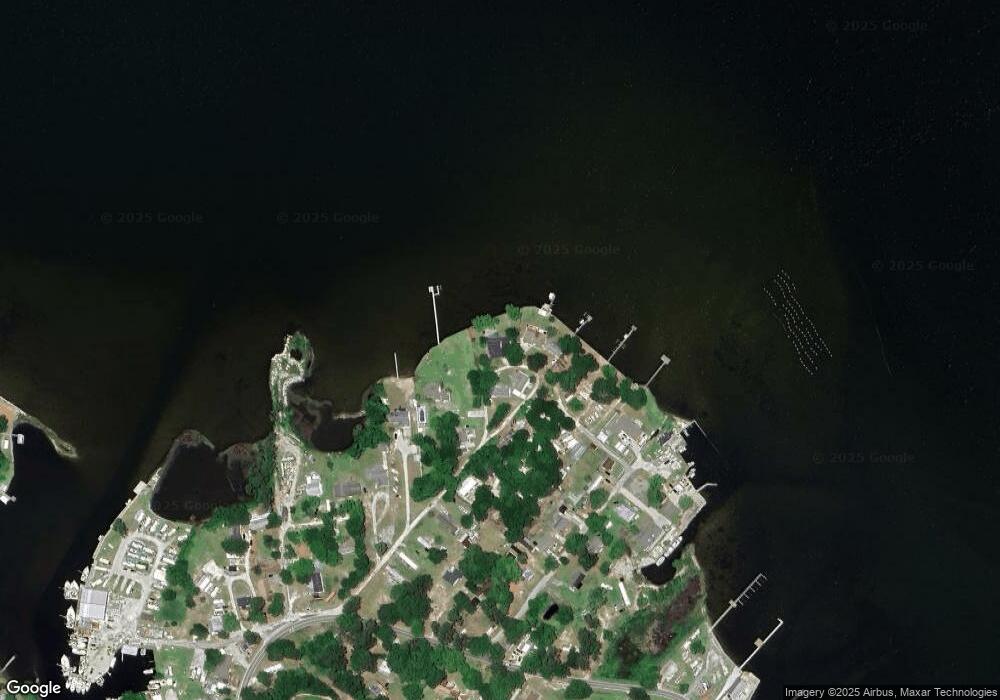
546 Poverty Point Rd Sneads Ferry, NC 28460
Estimated Value: $616,000 - $759,049
2
Beds
3
Baths
3,528
Sq Ft
$195/Sq Ft
Est. Value
About This Home
This home is located at 546 Poverty Point Rd, Sneads Ferry, NC 28460 and is currently estimated at $686,512, approximately $194 per square foot. 546 Poverty Point Rd is a home located in Onslow County with nearby schools including Dixon Elementary School, Dixon High School, and Born Again Christian Academy.
Ownership History
Date
Name
Owned For
Owner Type
Purchase Details
Closed on
Aug 8, 2019
Sold by
Yopp Battie L
Bought by
Haywood Sherry Yopp and Yopp Terry Wayne
Current Estimated Value
Purchase Details
Closed on
Feb 1, 2006
Sold by
Morris William S
Bought by
Yopp Hattie W
Purchase Details
Closed on
Apr 18, 1973
Bought by
Yopp Hattie L
Create a Home Valuation Report for This Property
The Home Valuation Report is an in-depth analysis detailing your home's value as well as a comparison with similar homes in the area
Home Values in the Area
Average Home Value in this Area
Purchase History
| Date | Buyer | Sale Price | Title Company |
|---|---|---|---|
| Haywood Sherry Yopp | $3,000 | None Available | |
| Haywood Sherry Yopp | $3,000 | None Listed On Document | |
| Yopp Hattie W | -- | None Available | |
| Yopp Hattie L | $4,000 | -- |
Source: Public Records
Tax History Compared to Growth
Tax History
| Year | Tax Paid | Tax Assessment Tax Assessment Total Assessment is a certain percentage of the fair market value that is determined by local assessors to be the total taxable value of land and additions on the property. | Land | Improvement |
|---|---|---|---|---|
| 2025 | $3,274 | $499,848 | $197,820 | $302,028 |
| 2024 | $3,274 | $499,848 | $197,820 | $302,028 |
| 2023 | $1,637 | $499,848 | $197,820 | $302,028 |
| 2022 | $1,637 | $499,848 | $197,820 | $302,028 |
| 2021 | $1,169 | $331,700 | $131,880 | $199,820 |
| 2020 | $1,169 | $331,700 | $131,880 | $199,820 |
| 2019 | $1,169 | $331,700 | $131,880 | $199,820 |
| 2018 | $1,169 | $331,700 | $131,880 | $199,820 |
| 2017 | $1,207 | $357,690 | $164,850 | $192,840 |
| 2016 | $1,207 | $178,845 | $0 | $0 |
| 2015 | $1,207 | $178,845 | $0 | $0 |
| 2014 | $1,207 | $191,090 | $0 | $0 |
Source: Public Records
Map
Nearby Homes
- 211 Fannie Creek Ln
- 112 Midland Ln
- 139 Hall Point
- 232 Fulcher Landing Rd
- 228 Fulcher Landing Rd
- 226 Fulcher Landing Rd
- 179 Hall Point Rd
- 208 Fulcher Landing Rd
- 109 Gull Dr
- 506 Transom Way
- 211 Riverside Dr
- 200 Smallberry Ct
- 221 Riverside Dr
- 535 Moore Landing Rd
- 141 Lawndale Ln
- 657 Canady Rd
- 250 Riverside Dr
- 114 S Stone Dr
- 306 Lakeview Ct
- 1850 N Carolina 172
- 544 Poverty Point Rd
- 548 Poverty Point Rd
- 542 Poverty Point Rd
- 538 Poverty Point Rd
- 552 Poverty Point Rd
- 531 Poverty Point Rd
- 133 Everett Ln
- 131 Everett Ln
- 133 Everett Ln
- 515 Poverty Point Rd
- 515 Poverty Point Rd Unit B
- 515 Poverty Point Rd Unit A
- 513 Poverty Point Rd
- 129 Everett Ln
- 123 Everett Ln
- 511 Poverty Point Rd
- 119 Everett Ln
- 518 Poverty Point Rd
- 117 Everett Ln
- 126 Everett Ln
