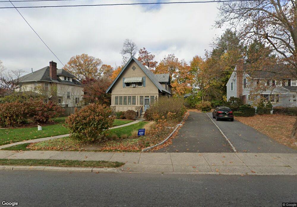
546 S Maple Ave Glen Rock, NJ 07452
Estimated Value: $827,966 - $984,000
Studio
--
Bath
1,856
Sq Ft
$477/Sq Ft
Est. Value
About This Home
This home is located at 546 S Maple Ave, Glen Rock, NJ 07452 and is currently estimated at $884,992, approximately $476 per square foot. 546 S Maple Ave is a home located in Bergen County with nearby schools including Glen Rock Middle School, Glen Rock High School, and Academy Of Our Lady At St Catharine.
Ownership History
Date
Name
Owned For
Owner Type
Purchase Details
Closed on
Dec 7, 1999
Sold by
Brown Barbara and Brown Robert Mark
Bought by
Brown Robert Mark and Brown Barbara
Current Estimated Value
Purchase Details
Closed on
Jun 15, 1999
Sold by
Brown Barbara and Brown Robert Mark
Bought by
Brown Robert Mark and Brown Barbara
Purchase Details
Closed on
Sep 2, 1996
Sold by
Lee William P and Lee Anna M
Bought by
Nye Barbara
Home Financials for this Owner
Home Financials are based on the most recent Mortgage that was taken out on this home.
Original Mortgage
$150,000
Interest Rate
8.22%
Create a Home Valuation Report for This Property
The Home Valuation Report is an in-depth analysis detailing your home's value as well as a comparison with similar homes in the area
Home Values in the Area
Average Home Value in this Area
Purchase History
| Date | Buyer | Sale Price | Title Company |
|---|---|---|---|
| Brown Robert Mark | -- | -- | |
| Brown Robert Mark | $100,000 | -- | |
| Nye Barbara | $245,000 | -- |
Source: Public Records
Mortgage History
| Date | Status | Borrower | Loan Amount |
|---|---|---|---|
| Previous Owner | Nye Barbara | $150,000 |
Source: Public Records
Tax History
| Year | Tax Paid | Tax Assessment Tax Assessment Total Assessment is a certain percentage of the fair market value that is determined by local assessors to be the total taxable value of land and additions on the property. | Land | Improvement |
|---|---|---|---|---|
| 2025 | $15,440 | $469,600 | $250,200 | $219,400 |
| 2024 | $14,839 | $469,600 | $250,200 | $219,400 |
| 2023 | $14,468 | $469,600 | $250,200 | $219,400 |
| 2022 | $14,468 | $469,600 | $250,200 | $219,400 |
| 2021 | $14,290 | $469,600 | $250,200 | $219,400 |
| 2020 | $14,318 | $469,600 | $250,200 | $219,400 |
| 2019 | $13,942 | $469,600 | $250,200 | $219,400 |
| 2018 | $13,557 | $469,600 | $250,200 | $219,400 |
| 2017 | $13,294 | $469,600 | $250,200 | $219,400 |
| 2016 | $13,102 | $469,600 | $250,200 | $219,400 |
| 2015 | $12,895 | $469,600 | $250,200 | $219,400 |
| 2014 | $12,726 | $469,600 | $250,200 | $219,400 |
Source: Public Records
Map
Nearby Homes
- 10 Bedford Place
- 20 Bedford Place
- 5 Amherst Ct
- 11 Amherst Ct
- 26 Bedford Place
- 11 Bedford Place
- 545 S Maple Ave
- 562 S Maple Ave
- 549 S Maple Ave
- 15 Bedford Place
- 539 S Maple Ave
- 553 S Maple Ave
- 21 Bedford Place
- 535 S Maple Ave
- 32 Bedford Place
- 17 Amherst Ct
- 559 S Maple Ave
- 6 Amherst Ct
- 27 Bedford Place
- 531 S Maple Ave
Your Personal Tour Guide
Ask me questions while you tour the home.