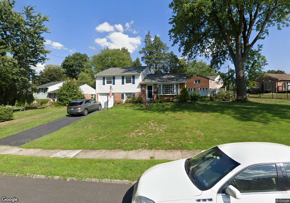
546 Sharpless Rd Springfield, PA 19064
Estimated Value: $492,239 - $583,000
3
Beds
3
Baths
1,549
Sq Ft
$342/Sq Ft
Est. Value
About This Home
This home is located at 546 Sharpless Rd, Springfield, PA 19064 and is currently estimated at $529,560, approximately $341 per square foot. 546 Sharpless Rd is a home located in Delaware County with nearby schools including Springfield High School, St Francis Of Assisi School, and Cardinal O'Hara High School.
Ownership History
Date
Name
Owned For
Owner Type
Purchase Details
Closed on
Jul 27, 2001
Sold by
Meckling George and Mecking Christine
Bought by
Bell William J and Bell Tammy L
Current Estimated Value
Home Financials for this Owner
Home Financials are based on the most recent Mortgage that was taken out on this home.
Original Mortgage
$149,200
Outstanding Balance
$57,990
Interest Rate
7.1%
Estimated Equity
$471,570
Create a Home Valuation Report for This Property
The Home Valuation Report is an in-depth analysis detailing your home's value as well as a comparison with similar homes in the area
Home Values in the Area
Average Home Value in this Area
Purchase History
| Date | Buyer | Sale Price | Title Company |
|---|---|---|---|
| Bell William J | $186,500 | -- |
Source: Public Records
Mortgage History
| Date | Status | Borrower | Loan Amount |
|---|---|---|---|
| Open | Bell William J | $149,200 | |
| Closed | Bell William J | $27,975 |
Source: Public Records
Tax History
| Year | Tax Paid | Tax Assessment Tax Assessment Total Assessment is a certain percentage of the fair market value that is determined by local assessors to be the total taxable value of land and additions on the property. | Land | Improvement |
|---|---|---|---|---|
| 2025 | $7,659 | $272,510 | $102,310 | $170,200 |
| 2024 | $7,659 | $272,510 | $102,310 | $170,200 |
| 2023 | $7,375 | $272,510 | $102,310 | $170,200 |
| 2022 | $7,216 | $272,510 | $102,310 | $170,200 |
| 2021 | $11,175 | $272,510 | $102,310 | $170,200 |
| 2020 | $6,740 | $148,750 | $49,190 | $99,560 |
| 2019 | $6,582 | $148,750 | $49,190 | $99,560 |
| 2018 | $6,488 | $148,750 | $0 | $0 |
| 2017 | $6,338 | $148,750 | $0 | $0 |
| 2016 | $816 | $148,750 | $0 | $0 |
| 2015 | $816 | $148,750 | $0 | $0 |
| 2014 | $816 | $148,750 | $0 | $0 |
Source: Public Records
Map
Nearby Homes
- 516 Beatty Rd
- 641 W Sproul Rd
- 746 Kelli Ln
- 464 Conard Dr
- 1291 Country Club Dr Unit Q137
- 1299 Country Club Dr Unit Q141
- 147 Snyder Ln
- 1433 Country Club Dr Unit T214
- 509 Beatty Rd
- 1588 Nicklaus Dr Unit H65
- 503 Beatty Rd
- 111 Forest Rd
- 31 Wayfield Rd
- 364 S Rolling Rd
- 493 Wheatsheaf Rd
- 606 W Springfield Rd
- 905 Heathdale Ln
- 309 Corvus Cir
- 923 Winding Ln
- 227 E Leamy Ave
- 542 Sharpless Rd
- 549 Kennerly Rd
- 555 Kennerly Rd
- 545 Kennerly Rd
- 538 Sharpless Rd
- 545 Sharpless Rd
- 549 Sharpless Rd
- 541 Kennerly Rd
- 541 Sharpless Rd
- 543 Sharpless Rd
- 553 Sharpless Rd
- 534 Sharpless Rd
- 601 Kennerly Rd
- 539 Sharpless Rd
- 537 Kennerly Rd
- 600 Kennerly Rd
- 546 Kennerly Rd
- 535 Sharpless Rd
- 604 Kennerly Rd
- 530 Sharpless Rd
Your Personal Tour Guide
Ask me questions while you tour the home.