546 Sunnyside Ct Box Springs, GA 31801
Estimated Value: $56,000 - $133,000
Studio
--
Bath
1,248
Sq Ft
$70/Sq Ft
Est. Value
About This Home
This home is located at 546 Sunnyside Ct, Box Springs, GA 31801 and is currently estimated at $87,615, approximately $70 per square foot. 546 Sunnyside Ct is a home with nearby schools including L.K. Moss Elementary School and Marion County Middle/High School.
Ownership History
Date
Name
Owned For
Owner Type
Purchase Details
Closed on
Oct 9, 2020
Sold by
Forsyth Arthur Luke
Bought by
Forsyth Arthur Luke and Golden Claudia Lynn
Current Estimated Value
Purchase Details
Closed on
Aug 22, 2014
Sold by
Moore Philip L
Bought by
Forsyth Arthur Luke
Purchase Details
Closed on
Nov 3, 2000
Sold by
Talbot E D
Bought by
Moore Philip L
Purchase Details
Closed on
Aug 22, 2000
Sold by
Miller Edward A
Bought by
Talbot E D
Purchase Details
Closed on
Jul 18, 1997
Sold by
Talbot E D
Bought by
Miller Edward A
Purchase Details
Closed on
Mar 15, 1996
Bought by
Talbot E D
Create a Home Valuation Report for This Property
The Home Valuation Report is an in-depth analysis detailing your home's value as well as a comparison with similar homes in the area
Purchase History
| Date | Buyer | Sale Price | Title Company |
|---|---|---|---|
| Forsyth Arthur Luke | -- | -- | |
| Forsyth Arthur Luke | $15,000 | -- | |
| Moore Philip L | $42,700 | -- | |
| Talbot E D | -- | -- | |
| Miller Edward A | $52,800 | -- | |
| Talbot E D | $73,900 | -- |
Source: Public Records
Tax History
| Year | Tax Paid | Tax Assessment Tax Assessment Total Assessment is a certain percentage of the fair market value that is determined by local assessors to be the total taxable value of land and additions on the property. | Land | Improvement |
|---|---|---|---|---|
| 2024 | $96 | $4,130 | $1,250 | $2,880 |
| 2023 | $96 | $4,130 | $1,250 | $2,880 |
| 2022 | $99 | $10,312 | $0 | $10,312 |
| 2021 | $98 | $10,312 | $0 | $10,312 |
| 2020 | $99 | $10,312 | $0 | $10,312 |
| 2019 | $98 | $10,312 | $0 | $10,312 |
| 2018 | $98 | $10,390 | $0 | $10,390 |
| 2017 | $98 | $10,390 | $0 | $10,390 |
| 2016 | $97 | $10,390 | $0 | $10,390 |
| 2014 | -- | $10,349 | $1,250 | $9,099 |
| 2013 | -- | $10,348 | $1,250 | $9,098 |
Source: Public Records
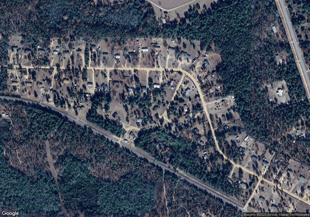
Map
Nearby Homes
- 111 Sunnyside Dr
- 1300 Dr Brooks Rd
- 0 Pineknot Rd
- 000 Hunter Dr
- 0 Hunter Dr Unit 10679629
- 641 Cusseta Hwy
- 000 Bridle Path Ln
- 656 Bridle Path Ln
- 64 Spring St
- 63 Spring St
- 00 Geneva Hwy
- 0 Fuller Rd Unit 22846458
- 0 Montgomery Rd
- 0 Miller Rd Unit 10319190
- 0 Miller Rd Unit 25510377
- 0 Miller Rd Unit 25510378
- 115 Watermelon Ln
- 0 Simmons Rd Unit 230394
- Moores Chapel Rd
- 0 Moores Chapel Rd Unit 25510371
- 578 Sunnyside Ct
- 591 Sunnyside Ct
- 290 Dr Brooks Rd Unit 38 & 40
- 290 Dr Brooks Rd
- 260 Dr Brooks Rd
- 256 Sunnyside Dr
- 242 Sunnyside Dr
- 347 Sunnyside Dr
- 332 Sunnyside Dr
- 346 Sunnyside Dr
- 7047 Ga Highway 41 N
- 420 Doctor Brooks Rd
- 7017 Ga Highway 41 N
- 90 Sunnyside Dr
- 400 Sunnyside Dr
- 271 Dr Brooks Rd
- 7028 Ga Highway 41 N
- 469 Dr Brooks Rd
- 50 Sunnyside Dr
- 7189 Ga Highway 41 N
Your Personal Tour Guide
Ask me questions while you tour the home.