546 SW 701st Rd Centerview, MO 64019
Estimated Value: $185,760 - $312,000
Studio
--
Bath
710
Sq Ft
$330/Sq Ft
Est. Value
About This Home
This home is located at 546 SW 701st Rd, Centerview, MO 64019 and is currently estimated at $234,253, approximately $329 per square foot. 546 SW 701st Rd is a home located in Johnson County with nearby schools including Holden Elementary School, Holden Middle School, and Holden High School.
Ownership History
Date
Name
Owned For
Owner Type
Purchase Details
Closed on
Nov 10, 2025
Sold by
Williams Robert L
Bought by
Williams Erainia L
Current Estimated Value
Purchase Details
Closed on
Nov 30, 2017
Sold by
Kohkl Shaun
Bought by
Williams Robert
Home Financials for this Owner
Home Financials are based on the most recent Mortgage that was taken out on this home.
Original Mortgage
$167,902
Interest Rate
3.75%
Mortgage Type
FHA
Purchase Details
Closed on
Mar 31, 2017
Sold by
Butler Charles S
Bought by
Kohl Shaun
Home Financials for this Owner
Home Financials are based on the most recent Mortgage that was taken out on this home.
Original Mortgage
$166,920
Interest Rate
5.12%
Mortgage Type
FHA
Purchase Details
Closed on
Aug 12, 2013
Sold by
Stoyko Joseph Steven
Bought by
Butler Charles S
Home Financials for this Owner
Home Financials are based on the most recent Mortgage that was taken out on this home.
Original Mortgage
$72,000
Interest Rate
4.75%
Mortgage Type
Adjustable Rate Mortgage/ARM
Create a Home Valuation Report for This Property
The Home Valuation Report is an in-depth analysis detailing your home's value as well as a comparison with similar homes in the area
Purchase History
| Date | Buyer | Sale Price | Title Company |
|---|---|---|---|
| Williams Erainia L | -- | None Listed On Document | |
| Williams Robert | -- | First United Title Agency Ll | |
| Kohl Shaun | -- | Western Missouri Title Co | |
| Butler Charles S | -- | None Available |
Source: Public Records
Mortgage History
| Date | Status | Borrower | Loan Amount |
|---|---|---|---|
| Previous Owner | Williams Robert | $167,902 | |
| Previous Owner | Kohl Shaun | $166,920 | |
| Previous Owner | Butler Charles S | $72,000 |
Source: Public Records
Tax History
| Year | Tax Paid | Tax Assessment Tax Assessment Total Assessment is a certain percentage of the fair market value that is determined by local assessors to be the total taxable value of land and additions on the property. | Land | Improvement |
|---|---|---|---|---|
| 2025 | $569 | $8,653 | $0 | $0 |
| 2024 | $569 | $7,996 | $0 | $0 |
| 2023 | $528 | $7,996 | $0 | $0 |
| 2022 | $512 | $7,692 | $0 | $0 |
| 2021 | $512 | $7,692 | $0 | $0 |
| 2020 | $495 | $7,387 | $0 | $0 |
| 2019 | $495 | $7,387 | $0 | $0 |
| 2017 | $464 | $7,221 | $0 | $0 |
| 2016 | $464 | $7,221 | $0 | $0 |
| 2015 | $465 | $7,221 | $0 | $0 |
| 2014 | $465 | $7,194 | $0 | $0 |
Source: Public Records
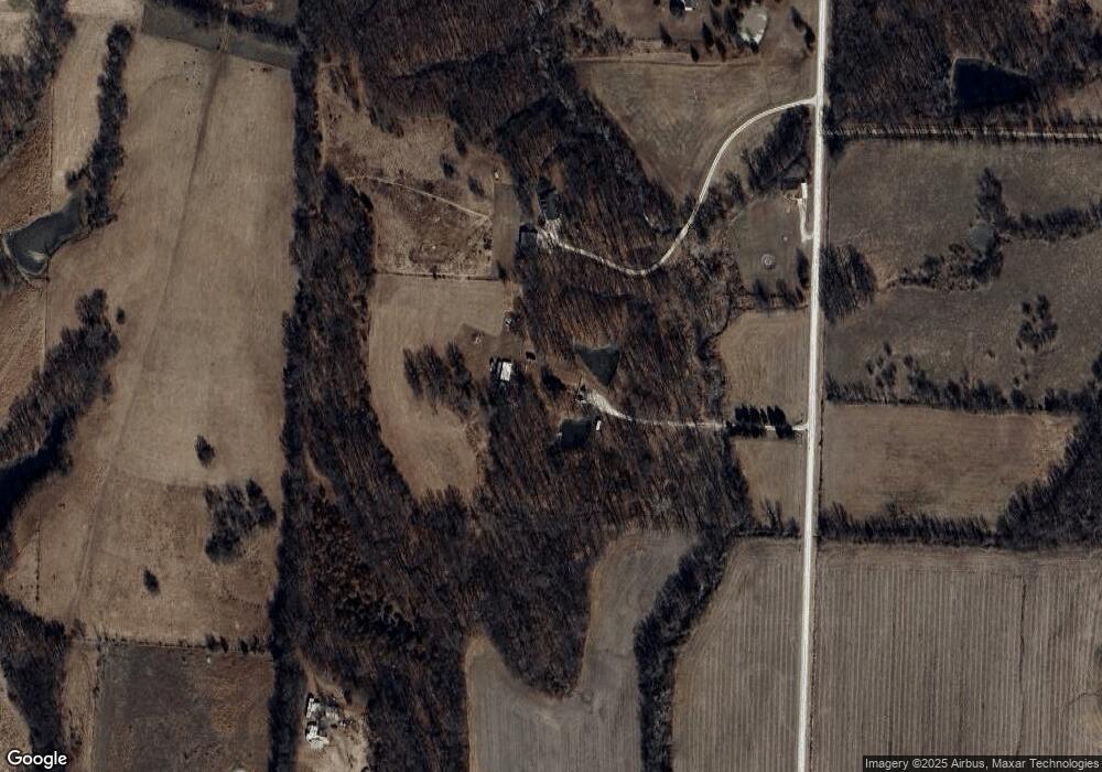
Map
Nearby Homes
- 0 Lot 5 Tbd 500 Rd
- 0 Rd
- 0 Lot 2 Tbd 500 Rd
- 0 Lot 1 Tbd 500 Rd
- 457 State Route F
- 720 SW 800th Rd
- 65 SW 150th Rd
- 66 SW 150th Rd
- 1106 SW County Road Kk N A
- 1155 Missouri 58
- TBD SW 500th Rd
- 120 SW County Road U
- 245 SW 400th Rd
- 908 Golden Eagle Trail
- 1104 Eagle Crest Dr
- 000 SW 100th Rd
- 602 E 10th St
- 304 E 16th St
- 1162 SW 225th Rd
- 52 401st (North 65) Rd
- 546 SW 701 Rd
- 526 SW 701st Rd
- 528 SW 701st Rd
- 520 SW 701st Rd
- 516 SW 701st Rd
- 740 SW 500th Rd
- 740 SW 500 Rd
- 710 SW 500th Rd
- 527 SW 701st Rd
- 711 SW 500th Rd
- 754 SW 500th Rd
- 596 SW 701st Rd
- 760 SW 500th Rd
- 470 SW 701st Rd
- 523 SW 801st Rd
- 568 SW 801st Rd
- 572 SW 801st Rd
- 812 SW 520 Rd
- 521 SW 801st Rd
- 550 SW 601st Rd
Your Personal Tour Guide
Ask me questions while you tour the home.