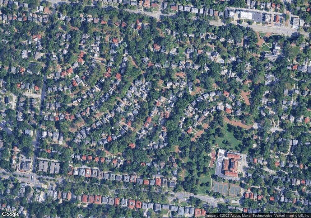
546 Warren Ave Saint Louis, MO 63130
Estimated Value: $571,000 - $792,000
3
Beds
3
Baths
2,728
Sq Ft
$245/Sq Ft
Est. Value
About This Home
This home is located at 546 Warren Ave, Saint Louis, MO 63130 and is currently estimated at $669,250, approximately $245 per square foot. 546 Warren Ave is a home located in St. Louis County with nearby schools including Flynn Park Elementary, Brittany Woods Middle School, and University City High School.
Ownership History
Date
Name
Owned For
Owner Type
Purchase Details
Closed on
Dec 13, 2024
Sold by
Caroline Davis J and Caroline Ofallon
Bought by
Neu Nicholas Edward and Davis Caroline Anne
Current Estimated Value
Home Financials for this Owner
Home Financials are based on the most recent Mortgage that was taken out on this home.
Original Mortgage
$300,000
Outstanding Balance
$297,609
Interest Rate
6.72%
Mortgage Type
New Conventional
Estimated Equity
$371,641
Create a Home Valuation Report for This Property
The Home Valuation Report is an in-depth analysis detailing your home's value as well as a comparison with similar homes in the area
Home Values in the Area
Average Home Value in this Area
Purchase History
| Date | Buyer | Sale Price | Title Company |
|---|---|---|---|
| Neu Nicholas Edward | -- | Investors Title Company |
Source: Public Records
Mortgage History
| Date | Status | Borrower | Loan Amount |
|---|---|---|---|
| Open | Neu Nicholas Edward | $300,000 |
Source: Public Records
Tax History Compared to Growth
Tax History
| Year | Tax Paid | Tax Assessment Tax Assessment Total Assessment is a certain percentage of the fair market value that is determined by local assessors to be the total taxable value of land and additions on the property. | Land | Improvement |
|---|---|---|---|---|
| 2025 | $8,645 | $149,430 | $74,820 | $74,610 |
| 2024 | $8,645 | $123,070 | $49,880 | $73,190 |
| 2023 | $8,635 | $123,070 | $49,880 | $73,190 |
| 2022 | $7,854 | $104,330 | $49,880 | $54,450 |
| 2021 | $7,773 | $104,330 | $49,880 | $54,450 |
| 2020 | $8,729 | $114,340 | $46,320 | $68,020 |
| 2019 | $8,732 | $114,340 | $46,320 | $68,020 |
| 2018 | $8,015 | $97,020 | $38,590 | $58,430 |
| 2017 | $8,032 | $97,020 | $38,590 | $58,430 |
| 2016 | $8,447 | $97,710 | $30,890 | $66,820 |
| 2015 | $8,393 | $97,710 | $30,890 | $66,820 |
| 2014 | $8,026 | $91,810 | $23,430 | $68,380 |
Source: Public Records
Map
Nearby Homes
- 7210 Waterman Ave
- 7224 Pershing Ave
- 7396 Bedford Ave
- 420 W Point Ct
- 7320 Princeton Ave
- 7452 Stratford Ave
- 7433 Teasdale Ave
- 7459 Washington Ave
- 7137 Washington Ave
- 7300 Colgate Ave
- 7530 Maryland Ave
- 7498 Teasdale Ave
- 415 N Hanley Rd
- 155 N Hanley Rd Unit 207
- 7510 Teasdale Ave
- 7120 Lindell Blvd
- 7124 Amherst Ave
- 7484 Gannon Ave
- 224 N Bemiston Ave
- 155 Carondelet Plaza Unit 600
- 550 Warren Ave
- 540 Warren Ave
- 536 Warren Ave
- 517 Midvale Ave
- 556 Warren Ave
- 521 Midvale Ave
- 515 Midvale Ave
- 523 Midvale Ave
- 543 Warren Ave
- 530 Warren Ave
- 551 Warren Ave
- 541 Warren Ave
- 511 Midvale Ave
- 560 Warren Ave
- 557 Warren Ave
- 537 Warren Ave
- 525 Midvale Ave
- 524 Warren Ave
- 509 Midvale Ave
- 533 Warren Ave
