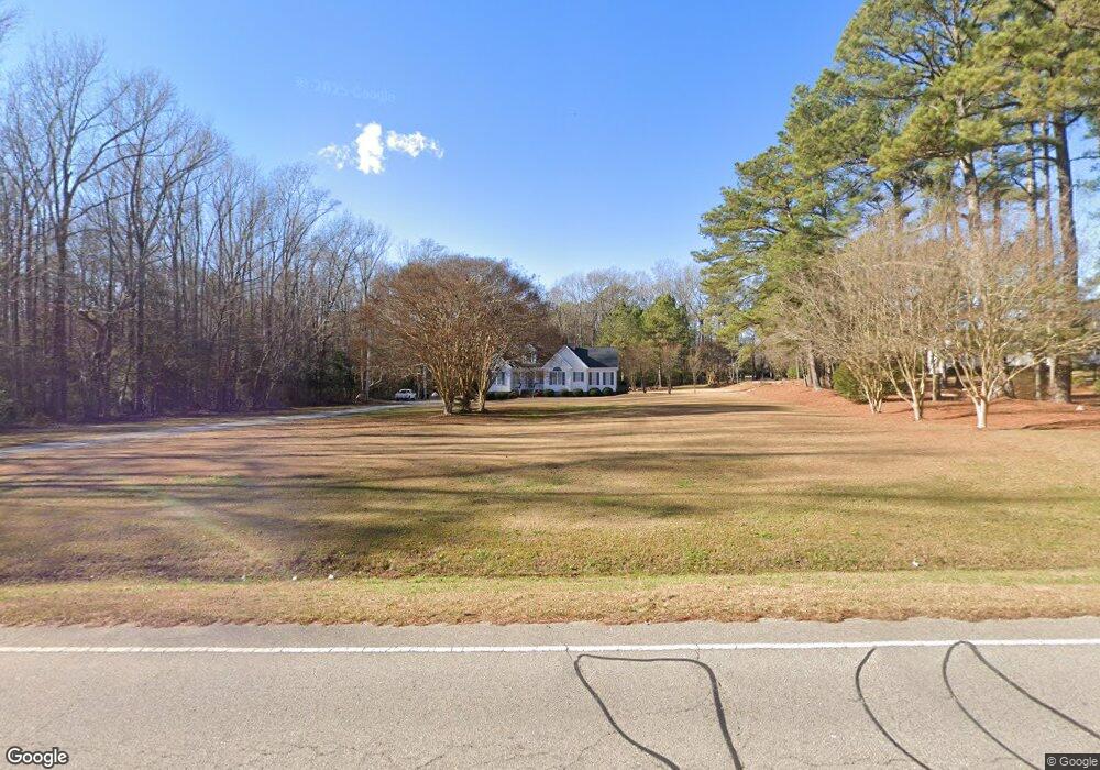
5460 Us Highway 117 Wilson, NC 27893
Estimated Value: $270,000 - $297,000
3
Beds
2
Baths
1,602
Sq Ft
$176/Sq Ft
Est. Value
About This Home
This home is located at 5460 Us Highway 117, Wilson, NC 27893 and is currently estimated at $282,522, approximately $176 per square foot. 5460 Us Highway 117 is a home located in Wilson County with nearby schools including Beddingfield High School, Lee Woodard Elementary School, and Speight Middle School.
Ownership History
Date
Name
Owned For
Owner Type
Purchase Details
Closed on
Apr 10, 2017
Sold by
Pittman Bradley S and Baker Jennifer L
Bought by
Pittman Bradley S and Pittman Jennifer L
Current Estimated Value
Home Financials for this Owner
Home Financials are based on the most recent Mortgage that was taken out on this home.
Original Mortgage
$146,621
Interest Rate
4.12%
Mortgage Type
FHA
Create a Home Valuation Report for This Property
The Home Valuation Report is an in-depth analysis detailing your home's value as well as a comparison with similar homes in the area
Home Values in the Area
Average Home Value in this Area
Purchase History
| Date | Buyer | Sale Price | Title Company |
|---|---|---|---|
| Pittman Bradley S | -- | None Available |
Source: Public Records
Mortgage History
| Date | Status | Borrower | Loan Amount |
|---|---|---|---|
| Closed | Pittman Bradley S | $146,621 |
Source: Public Records
Tax History Compared to Growth
Tax History
| Year | Tax Paid | Tax Assessment Tax Assessment Total Assessment is a certain percentage of the fair market value that is determined by local assessors to be the total taxable value of land and additions on the property. | Land | Improvement |
|---|---|---|---|---|
| 2025 | $1,788 | $237,294 | $24,636 | $212,658 |
| 2024 | $1,788 | $237,294 | $24,636 | $212,658 |
| 2023 | $1,276 | $140,722 | $18,477 | $122,245 |
| 2022 | $1,276 | $140,722 | $18,477 | $122,245 |
| 2021 | $1,266 | $140,722 | $18,477 | $122,245 |
| 2020 | $1,266 | $140,722 | $18,477 | $122,245 |
| 2019 | $1,266 | $140,722 | $18,477 | $122,245 |
| 2018 | $1,266 | $134,021 | $18,477 | $115,544 |
| 2017 | $1,207 | $134,021 | $18,477 | $115,544 |
| 2016 | $1,207 | $134,021 | $18,477 | $115,544 |
| 2014 | $1,277 | $152,891 | $24,150 | $128,741 |
Source: Public Records
Map
Nearby Homes
- 102 Tomlinson St
- 0 Mercer St Unit 100531209
- 5930 A Glory Rd
- 5666 Muscadine Rd
- 5013 Mill Branch Dr
- 5644 Muscadine Rd
- 5634 Muscadine Rd
- 5029 Carole Dr
- 6415 Litchfield Rd N
- 4344 Yank Rd
- 5316 Pebble Creek Cir
- 5306 Whitney Ln
- 5355 Creech Rd
- 0 Gourd Branch Rd
- 0 Great Swamp Loop
- 5204 Carr Rd
- 7135 Fate Rd
- 7105 Great Swamp Loop
- 4424 Kenroy Rd
- 0 U S 117
- 5450 Us Highway 117
- 5444 Us Highway 117
- 5461 Us Highway 117
- 5465 Us Highway 117
- 5478 Us Highway 117
- 5509 Us Highway 117
- 5514 Us Highway 117
- 5465 Highway Unit Us 117
- 5515 U S 117
- 5515 Us Hwy 117 Unit Us 117
- 5515 Highway Unit Us 117
- 5515 Us Highway 117
- 5416 Us Highway 117
- 5416 Us Highway 117
- 5416 Highway Unit Us 117
- 5415 Us Highway 117
- 5410 Us Highway 117
- 5400 U S 117
- 6264 Church Loop S
- 6252 Church Loop S