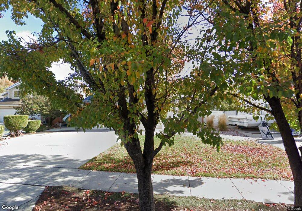
5461 S Crosspointe Cir Salt Lake City, UT 84123
Estimated Value: $554,000 - $561,000
5
Beds
3
Baths
2,118
Sq Ft
$263/Sq Ft
Est. Value
About This Home
This home is located at 5461 S Crosspointe Cir, Salt Lake City, UT 84123 and is currently estimated at $557,151, approximately $263 per square foot. 5461 S Crosspointe Cir is a home located in Salt Lake County with nearby schools including Plymouth Elementary School, Eisenhower Jr High School, and Taylorsville High School.
Ownership History
Date
Name
Owned For
Owner Type
Purchase Details
Closed on
Jan 12, 2024
Sold by
Dahl Travis Ian and Dahl Michelle
Bought by
Travis And Michelle Dahl Family Trust
Current Estimated Value
Purchase Details
Closed on
Apr 7, 2021
Sold by
Dahi Travis Ian
Bought by
Dahl Travis and Dahl Michelle
Home Financials for this Owner
Home Financials are based on the most recent Mortgage that was taken out on this home.
Original Mortgage
$205,000
Interest Rate
2.9%
Mortgage Type
New Conventional
Purchase Details
Closed on
May 12, 2016
Sold by
Bennion Dean L and Bennion Ginger A
Bought by
Dahl Travis Ian and Dahl Michelle
Home Financials for this Owner
Home Financials are based on the most recent Mortgage that was taken out on this home.
Original Mortgage
$220,000
Interest Rate
3.71%
Mortgage Type
New Conventional
Purchase Details
Closed on
Nov 14, 2005
Sold by
Layton Chris W
Bought by
Bennion Dean L and Bennion Ginger A
Home Financials for this Owner
Home Financials are based on the most recent Mortgage that was taken out on this home.
Original Mortgage
$38,600
Interest Rate
5.97%
Mortgage Type
Stand Alone Second
Purchase Details
Closed on
Jun 26, 1997
Sold by
Layton Richele L and Layton Chris W
Bought by
Layton Chris W
Home Financials for this Owner
Home Financials are based on the most recent Mortgage that was taken out on this home.
Original Mortgage
$60,000
Interest Rate
7.58%
Mortgage Type
Purchase Money Mortgage
Purchase Details
Closed on
Sep 26, 1995
Sold by
Robinson Blake
Bought by
Layton Richele L and Layton Chris W
Home Financials for this Owner
Home Financials are based on the most recent Mortgage that was taken out on this home.
Original Mortgage
$156,060
Interest Rate
6.5%
Mortgage Type
VA
Purchase Details
Closed on
Jul 19, 1995
Sold by
Halliday Paul M
Bought by
Robinson Blake
Purchase Details
Closed on
Dec 22, 1993
Sold by
Carlson Ron W
Bought by
Stueben Debra J
Create a Home Valuation Report for This Property
The Home Valuation Report is an in-depth analysis detailing your home's value as well as a comparison with similar homes in the area
Home Values in the Area
Average Home Value in this Area
Purchase History
| Date | Buyer | Sale Price | Title Company |
|---|---|---|---|
| Travis And Michelle Dahl Family Trust | -- | None Listed On Document | |
| Dahl Travis | -- | Pinnacle Title Co | |
| Dahl Travis Ian | -- | Mountain View Title & Escrow | |
| Bennion Dean L | -- | Equity Title | |
| Layton Chris W | -- | -- | |
| Layton Richele L | -- | -- | |
| Robinson Blake | -- | -- | |
| Stueben Debra J | $138,900 | -- |
Source: Public Records
Mortgage History
| Date | Status | Borrower | Loan Amount |
|---|---|---|---|
| Previous Owner | Dahl Travis | $205,000 | |
| Previous Owner | Dahl Travis Ian | $220,000 | |
| Previous Owner | Bennion Dean L | $38,600 | |
| Previous Owner | Bennion Dean L | $154,400 | |
| Previous Owner | Layton Chris W | $60,000 | |
| Previous Owner | Layton Richele L | $156,060 |
Source: Public Records
Tax History Compared to Growth
Tax History
| Year | Tax Paid | Tax Assessment Tax Assessment Total Assessment is a certain percentage of the fair market value that is determined by local assessors to be the total taxable value of land and additions on the property. | Land | Improvement |
|---|---|---|---|---|
| 2025 | $3,142 | $534,300 | $126,600 | $407,700 |
| 2024 | $3,142 | $515,200 | $122,600 | $392,600 |
| 2023 | $3,142 | $474,000 | $114,600 | $359,400 |
| 2022 | $2,980 | $483,500 | $112,300 | $371,200 |
| 2021 | $2,516 | $355,500 | $86,400 | $269,100 |
| 2020 | $2,354 | $314,900 | $79,500 | $235,400 |
| 2019 | $2,382 | $311,100 | $79,500 | $231,600 |
| 2018 | $2,334 | $293,900 | $76,900 | $217,000 |
| 2017 | $2,082 | $275,500 | $76,900 | $198,600 |
| 2016 | $1,925 | $254,600 | $76,900 | $177,700 |
| 2015 | $2,040 | $238,300 | $78,400 | $159,900 |
| 2014 | $1,845 | $224,000 | $74,700 | $149,300 |
Source: Public Records
Map
Nearby Homes
- 1443 W Spinnaker Row Unit 96
- 5449 S Coastal Ct
- 5435 S Break Water Dr
- 1380 W Ocean Ct
- 1334 Portside Way Unit 165
- 1370 W Telegraph Hill Dr
- 1401 Beacon Hill Dr Unit 118
- 1381 Beacon Hill Dr
- 1273 W Brister Dr
- 5920 S 1300 W
- 1886 W Champagne Ave
- 5552 Hew Wood Dr
- 2001 W 5540 S
- 2016 W Hew Wood Ct
- 5020 S 1250 W
- 1475 W 4950 S
- 903 W Bullion St
- 913 W Bullion St Unit 10
- Hirst 2 Plan at The Gallery at Bullion - Townhomes
- Caro 2 Plan at The Gallery at Bullion - Townhomes
- 5461 Crosspointe Cir
- 5471 Crosspointe Cir
- 5471 S Crosspointe Cir
- 5462 Crosscourt
- 5451 Crosspointe Cir
- 5462 Cross Ct
- 5454 Cross Ct
- 5454 S Cross Ct
- 5472 S Cross Ct
- 5472 Cross Ct
- 5481 Crosspointe Cir
- 5447 S Crosspointe Cir
- 5447 Crosspointe Cir
- 5460 Crosspointe Cir
- 5470 S Crosspointe Cir
- 5482 Cross Ct
- 5470 Crosspointe Cir
- 5448 Cross Ct
- 5482 S Cross Ct
- 5452 S Crosspointe Cir