5463 Us Highway 50 W Bainbridge, OH 45612
Estimated Value: $165,000 - $301,000
--
Bed
1
Bath
1,793
Sq Ft
$141/Sq Ft
Est. Value
About This Home
This home is located at 5463 Us Highway 50 W, Bainbridge, OH 45612 and is currently estimated at $252,952, approximately $141 per square foot. 5463 Us Highway 50 W is a home with nearby schools including Paint Valley Elementary School, Paint Valley Middle School, and Paint Valley High School.
Ownership History
Date
Name
Owned For
Owner Type
Purchase Details
Closed on
Jul 5, 2022
Sold by
Long David W
Bought by
Long Roderick W
Current Estimated Value
Purchase Details
Closed on
Jan 10, 2008
Sold by
Long Barbara K
Bought by
Long David W and Long David
Home Financials for this Owner
Home Financials are based on the most recent Mortgage that was taken out on this home.
Original Mortgage
$96,500
Interest Rate
6.13%
Mortgage Type
Purchase Money Mortgage
Create a Home Valuation Report for This Property
The Home Valuation Report is an in-depth analysis detailing your home's value as well as a comparison with similar homes in the area
Home Values in the Area
Average Home Value in this Area
Purchase History
| Date | Buyer | Sale Price | Title Company |
|---|---|---|---|
| Long Roderick W | -- | -- | |
| Long Roderick W | -- | None Listed On Document | |
| Long David W | -- | Attorney |
Source: Public Records
Mortgage History
| Date | Status | Borrower | Loan Amount |
|---|---|---|---|
| Previous Owner | Long David W | $96,500 |
Source: Public Records
Tax History Compared to Growth
Tax History
| Year | Tax Paid | Tax Assessment Tax Assessment Total Assessment is a certain percentage of the fair market value that is determined by local assessors to be the total taxable value of land and additions on the property. | Land | Improvement |
|---|---|---|---|---|
| 2024 | $2,762 | $72,960 | $5,650 | $67,310 |
| 2023 | $2,630 | $72,960 | $5,650 | $67,310 |
| 2022 | $2,645 | $72,960 | $5,650 | $67,310 |
| 2021 | $2,426 | $62,080 | $4,680 | $57,400 |
| 2020 | $2,425 | $62,080 | $4,680 | $57,400 |
| 2019 | $2,470 | $62,080 | $4,680 | $57,400 |
| 2018 | $2,072 | $50,380 | $4,120 | $46,260 |
| 2017 | $2,076 | $50,380 | $4,120 | $46,260 |
| 2016 | $2,026 | $50,380 | $4,120 | $46,260 |
| 2015 | $1,831 | $46,560 | $4,120 | $42,440 |
| 2014 | $1,730 | $46,560 | $4,120 | $42,440 |
| 2013 | $1,760 | $46,560 | $4,120 | $42,440 |
Source: Public Records
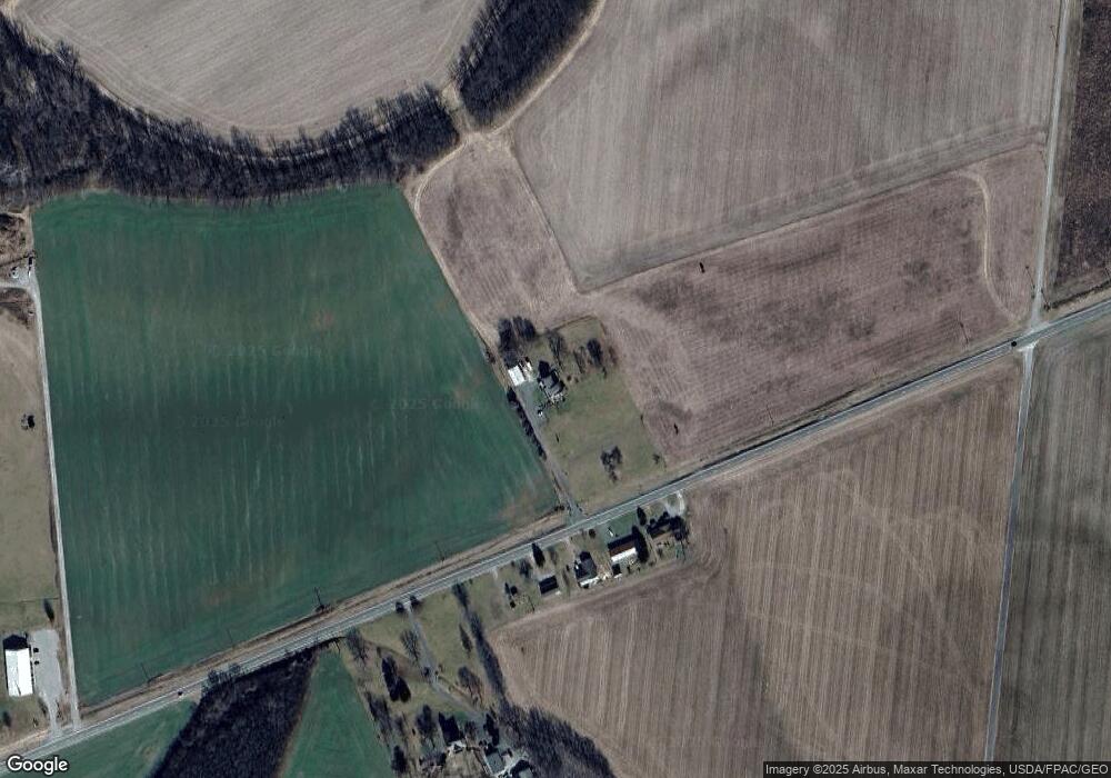
Map
Nearby Homes
- 2780 Potts Hill Rd
- 2780 Potts Hill Rd Unit (Tract 4 at Potts Hi
- 301 N Maple St
- 201 N Maple St
- 316 S Maple St
- 2470 Tong Hollow Rd
- 213 S Benner Hill Rd
- 1540 Cove Run Rd
- 0 Schmidt Rd
- 4511 Potts Hill
- 4511 Potts Hill Rd
- 4945 Upper Twin Rd
- 0 Potts Hill Rd Unit 225030231
- 0 Upper Twin Rd Unit 5159777
- 0 Upper Twin Rd Unit 225036418
- 7885 Upper Twin Rd
- 4999 Auerville Rd
- 2466 Pike Lake Rd
- 7724 Cave Rd
- 948 Mount Olive Rd
- 5510 Us Highway 50 W
- 5510 U S 50
- 5536 Us Highway 50 W
- 5476 U S 50
- 5454 Us Highway 50 W
- 5454 U S 50
- 5510 W U S Rt 50
- 0 US Rt 50 Unit 1542508
- 0 US Rt 50 Unit 1521096
- 5080 Us Highway 50 W
- 223 Potts Hill Rd
- 4980 Potts Hill Rd
- Lot 4 Potts Hill Rd
- 3232 Potts Hill Rd Unit (Woods at Potts Hill
- 5032 Us Highway 50 W
- 86 Potts Hill Rd
- 0 Houseman Ln
- 4988 Us Highway 50 W
- 4988 Us Highway 50 W
- 570 E Main St