Estimated Value: $637,000 - $1,091,000
4
Beds
5
Baths
3,967
Sq Ft
$235/Sq Ft
Est. Value
About This Home
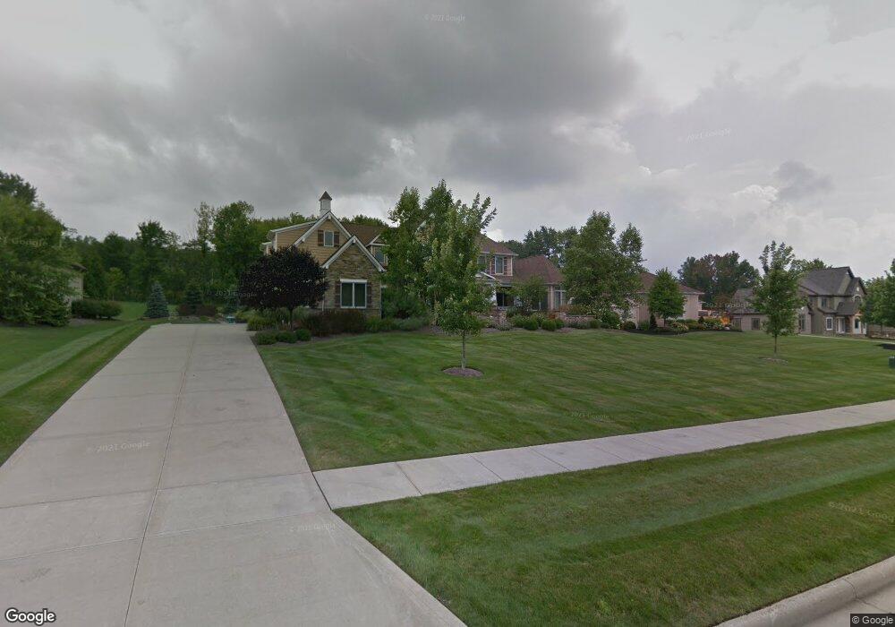
This home is located at 5465 Cannon Rd, Solon, OH 44139 and is currently estimated at $931,766, approximately $234 per square foot. 5465 Cannon Rd is a home with nearby schools including Dorothy E Lewis Elementary School, Orchard Middle School, and Solon Middle School.
Ownership History
Date
Name
Owned For
Owner Type
Purchase Details
Closed on
Sep 2, 2014
Sold by
Libecco James F and Libecco Julia A
Bought by
Julia Ann Libecco Living Trust
Current Estimated Value
Purchase Details
Closed on
Oct 23, 2007
Sold by
M W Miozzi Homes Inc
Bought by
Libecco James F and Libecco Julia A
Home Financials for this Owner
Home Financials are based on the most recent Mortgage that was taken out on this home.
Original Mortgage
$417,000
Outstanding Balance
$261,957
Interest Rate
6.33%
Mortgage Type
Purchase Money Mortgage
Estimated Equity
$669,809
Create a Home Valuation Report for This Property
The Home Valuation Report is an in-depth analysis detailing your home's value as well as a comparison with similar homes in the area
Home Values in the Area
Average Home Value in this Area
Purchase History
| Date | Buyer | Sale Price | Title Company |
|---|---|---|---|
| Julia Ann Libecco Living Trust | -- | Attorney | |
| Libecco James F | $823,881 | Us Land Title Agency Inc |
Source: Public Records
Mortgage History
| Date | Status | Borrower | Loan Amount |
|---|---|---|---|
| Open | Libecco James F | $417,000 |
Source: Public Records
Tax History Compared to Growth
Tax History
| Year | Tax Paid | Tax Assessment Tax Assessment Total Assessment is a certain percentage of the fair market value that is determined by local assessors to be the total taxable value of land and additions on the property. | Land | Improvement |
|---|---|---|---|---|
| 2024 | $18,810 | $343,735 | $39,865 | $303,870 |
| 2023 | $20,074 | $300,030 | $28,950 | $271,080 |
| 2022 | $20,031 | $300,020 | $28,950 | $271,080 |
| 2021 | $19,804 | $300,020 | $28,950 | $271,080 |
| 2020 | $21,229 | $294,140 | $28,390 | $265,760 |
| 2019 | $20,560 | $840,400 | $81,100 | $759,300 |
| 2018 | $19,296 | $294,140 | $28,390 | $265,760 |
| 2017 | $20,723 | $313,080 | $46,520 | $266,560 |
| 2016 | $20,187 | $307,870 | $46,520 | $261,350 |
| 2015 | $19,880 | $307,870 | $46,520 | $261,350 |
| 2014 | $19,880 | $285,050 | $43,090 | $241,960 |
Source: Public Records
Map
Nearby Homes
- 5225 Harper Rd
- 29470 W Woodall Dr
- S/L 12 Neptune Oval
- S/L 1 Neptune Oval
- 5158 Lansdowne Dr
- S/L 2 Neptune Oval
- S/L 3 Neptune Oval
- S/L 11 Neptune Oval
- S/L 4 Neptune Oval
- S/L 13 Neptune Oval
- 5084 Neptune Oval
- 5068 Neptune Oval
- 5060 Neptune Oval
- S/L 8 Neptune Oval
- 32560 Wintergreen Dr
- 32650 Stony Brook Ln
- 28300 Aurora Rd
- 32775 Ledge Hill Dr
- 5009 Lansdowne Dr
- 143 Blossom Ln Unit 6
- 5485 Brookside Trail
- 5445 Cannon Rd
- 5 S/L Brookside Trail
- 5505 Cannon Rd
- 5500 Cannon Rd
- 3 S/L Brookside Trail
- 2 Brookside Trail
- 10 Brookside Trail
- 3 Brookside Trail
- 5 Brookside Trail
- 5425 Brookside Trail
- 5472 Stone Creek Dr
- 5480 Stone Creek Dr
- 5440 Cannon Rd
- 5464 Stone Creek Dr
- 5488 Stone Creek Dr
- 5480 Cannon Rd
- 30255 Cannon Rd
- 5456 Stone Creek Dr
- 5405 Brookside Trail