5465 Highway 145 Carnesville, GA 30521
Estimated Value: $260,095 - $302,000
3
Beds
2
Baths
1,442
Sq Ft
$200/Sq Ft
Est. Value
About This Home
This home is located at 5465 Highway 145, Carnesville, GA 30521 and is currently estimated at $288,774, approximately $200 per square foot. 5465 Highway 145 is a home located in Franklin County with nearby schools including Franklin County High School.
Ownership History
Date
Name
Owned For
Owner Type
Purchase Details
Closed on
Nov 19, 2014
Sold by
Voyles Gerald
Bought by
Veal James B and Veal Jennifer L
Current Estimated Value
Home Financials for this Owner
Home Financials are based on the most recent Mortgage that was taken out on this home.
Original Mortgage
$132,653
Outstanding Balance
$100,837
Interest Rate
3.95%
Mortgage Type
New Conventional
Estimated Equity
$187,937
Purchase Details
Closed on
Aug 30, 2013
Sold by
Godfrey Mitchell
Bought by
Voyles Gerald
Purchase Details
Closed on
Jul 19, 2011
Sold by
Voyles Gerald
Bought by
Godfrey Mitchell
Create a Home Valuation Report for This Property
The Home Valuation Report is an in-depth analysis detailing your home's value as well as a comparison with similar homes in the area
Purchase History
| Date | Buyer | Sale Price | Title Company |
|---|---|---|---|
| Veal James B | $130,000 | -- | |
| Voyles Gerald | -- | -- | |
| Godfrey Mitchell | $90,000 | -- |
Source: Public Records
Mortgage History
| Date | Status | Borrower | Loan Amount |
|---|---|---|---|
| Open | Veal James B | $132,653 |
Source: Public Records
Tax History
| Year | Tax Paid | Tax Assessment Tax Assessment Total Assessment is a certain percentage of the fair market value that is determined by local assessors to be the total taxable value of land and additions on the property. | Land | Improvement |
|---|---|---|---|---|
| 2025 | $2,038 | $88,217 | $10,398 | $77,819 |
| 2024 | $1,847 | $77,604 | $4,406 | $73,198 |
| 2023 | $1,820 | $70,549 | $4,005 | $66,544 |
| 2022 | $1,642 | $63,642 | $3,115 | $60,527 |
| 2021 | $1,473 | $53,533 | $2,871 | $50,662 |
| 2020 | $1,392 | $50,063 | $2,871 | $47,192 |
| 2019 | $1,345 | $50,063 | $2,871 | $47,192 |
| 2018 | $1,180 | $43,927 | $3,603 | $40,324 |
| 2017 | $1,227 | $43,927 | $3,603 | $40,324 |
| 2016 | $1,160 | $39,753 | $3,603 | $36,150 |
| 2015 | -- | $39,752 | $3,603 | $36,150 |
| 2014 | -- | $32,653 | $3,603 | $29,050 |
| 2013 | -- | $33,222 | $3,603 | $29,619 |
Source: Public Records
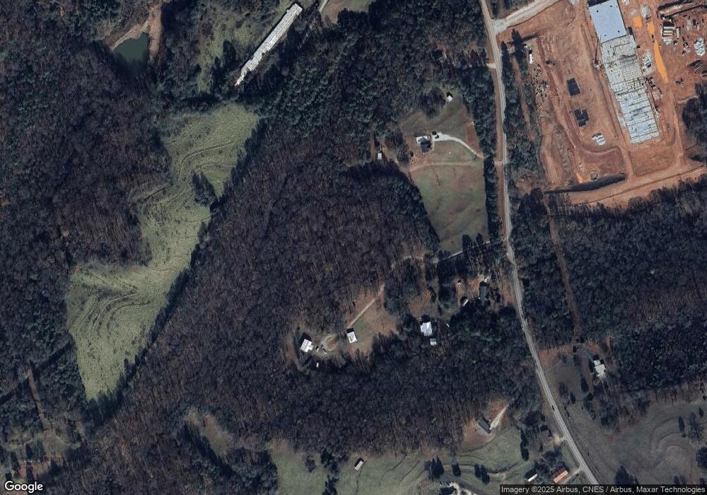
Map
Nearby Homes
- 2985 Jackson Bridge Rd
- 555 Hubbard Rd
- 5177 Sandy Cross Rd
- 365 Carroll Church Rd
- 2556 Turkey Creek Rd
- 0 Turkey Creek Rd Unit 10671197
- 0 Turkey Creek Rd Unit 7709794
- 0 Turkey Creek Rd Unit 26024108
- 9750 Lavonia Rd
- 140 Summit Ln
- 183 Crestview Dr
- 7 Crest View Cir
- 160 Georgia 320
- 1320 Burroughs Rd
- 2565 New Franklin Church Rd
- 0 New Franklin Church Rd
- 6.98 ACRES New Franklin Church Rd
- 6602 New Franklin Church Rd
- 138 Airport Rd Unit 14
- 174 Airport Rd Unit 12
- 5465 Highway 145
- 5465 Hwy 145
- 5435 Highway 145
- 5579 Highway 145
- 5579 Georgia 145
- 5485 Highway 145
- 5653 Highway 145
- 5395 Highway 145
- 5670 Highway 145
- 5289 Highway 145
- 0 Murphy Rd Unit 10585891
- 0 Murphy Rd Unit 7310836
- 5244 Georgia 145
- 5244 Highway 145
- 5244 Highway 145
- 573 Aderhold Rd
- 4935 Highway 145
- 435 Aderhold Rd
- 235 Memory Ln
- 110 Aderhold Rd
Your Personal Tour Guide
Ask me questions while you tour the home.