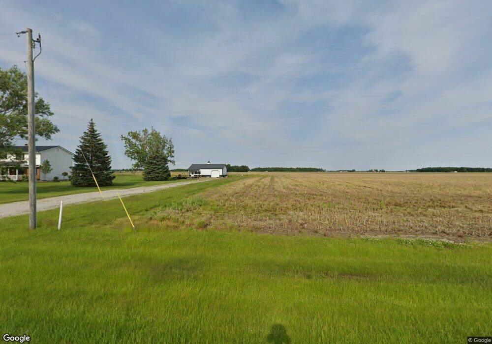
5465 N 700 W-1 Unit 1 Craigville, IN 46731
Estimated Value: $202,000 - $356,507
3
Beds
2
Baths
2,617
Sq Ft
$107/Sq Ft
Est. Value
About This Home
This home is located at 5465 N 700 W-1 Unit 1, Craigville, IN 46731 and is currently estimated at $279,254, approximately $106 per square foot. 5465 N 700 W-1 Unit 1 is a home located in Adams County with nearby schools including Adams Central Elementary School, Adams Central Middle School, and Adams Central High School.
Ownership History
Date
Name
Owned For
Owner Type
Purchase Details
Closed on
Apr 14, 2006
Sold by
Weg Ryan T Van De and Byrd Christa A
Bought by
Bluhm Michael A and Bluhm Shelby L
Current Estimated Value
Home Financials for this Owner
Home Financials are based on the most recent Mortgage that was taken out on this home.
Original Mortgage
$143,000
Outstanding Balance
$82,461
Interest Rate
6.42%
Mortgage Type
New Conventional
Estimated Equity
$196,793
Create a Home Valuation Report for This Property
The Home Valuation Report is an in-depth analysis detailing your home's value as well as a comparison with similar homes in the area
Home Values in the Area
Average Home Value in this Area
Purchase History
| Date | Buyer | Sale Price | Title Company |
|---|---|---|---|
| Bluhm Michael A | -- | -- |
Source: Public Records
Mortgage History
| Date | Status | Borrower | Loan Amount |
|---|---|---|---|
| Open | Bluhm Michael A | $143,000 |
Source: Public Records
Tax History Compared to Growth
Tax History
| Year | Tax Paid | Tax Assessment Tax Assessment Total Assessment is a certain percentage of the fair market value that is determined by local assessors to be the total taxable value of land and additions on the property. | Land | Improvement |
|---|---|---|---|---|
| 2024 | $1,591 | $252,900 | $31,800 | $221,100 |
| 2023 | $1,524 | $234,400 | $31,800 | $202,600 |
| 2022 | $1,036 | $182,600 | $31,800 | $150,800 |
| 2021 | $947 | $172,600 | $28,000 | $144,600 |
| 2020 | $848 | $167,900 | $28,000 | $139,900 |
| 2019 | $780 | $166,100 | $28,000 | $138,100 |
| 2018 | $815 | $162,400 | $28,000 | $134,400 |
| 2017 | $757 | $154,300 | $25,500 | $128,800 |
| 2016 | $597 | $151,800 | $25,500 | $126,300 |
| 2014 | $571 | $142,800 | $25,500 | $117,300 |
| 2013 | $631 | $140,500 | $25,500 | $115,000 |
Source: Public Records
Map
Nearby Homes
- 6010 N 600 W
- 6068 N West St
- 7805 N 600 E
- 5020 N 400 W
- 3803 U S 224
- 3585 N 400 Rd W
- 4035 E 800 N
- 6936 N State Road 1
- 3260 N 200 W
- 444 Goldenrod Ct
- 660 Malfoy Ct
- Harmony Plan at Crosswind Lakes
- Chatham Plan at Crosswind Lakes
- 430 Goldenrod Ct
- 630 Malfoy Ct
- 610 Malfoy Ct
- 665 Dobby Ct
- Freeport Plan at Parlor Bluffs
- Cabral Plan at Parlor Bluffs
- ELM Plan at Parlor Bluffs
- 5474 N 800 E
- 5550 N 800 E
- 5390 N 800 E
- 5625 N 700 W
- 5625 N 700 W-1
- 5687 N 700 W-1 Unit 1
- 5237 N 700 W-1
- 5237 N 700 W
- 5889 N 700 W-1 Unit 1
- 6900 W Us Highway 224
- 5016 N 800 E
- 6766 W Us Highway 224
- 6787 W Us Highway 224
- 6777 W Us Highway 224
- 6849 W Us Highway 224
- 6775 W Us Highway 224
- 6968 W 500 N
- 6757 W Us Highway 224
- 6640 W Us Highway 224
- 7619 E 500 N