5466 Canyon Rd Roanoke, VA 24018
Estimated Value: $249,000 - $292,410
3
Beds
2
Baths
2,016
Sq Ft
$133/Sq Ft
Est. Value
About This Home
This home is located at 5466 Canyon Rd, Roanoke, VA 24018 and is currently estimated at $267,853, approximately $132 per square foot. 5466 Canyon Rd is a home located in Roanoke County with nearby schools including Back Creek Elementary School, Cave Spring Middle School, and Cave Spring High School.
Ownership History
Date
Name
Owned For
Owner Type
Purchase Details
Closed on
May 29, 2008
Sold by
Lavinder Charles E
Bought by
Lavinder Eric A
Current Estimated Value
Home Financials for this Owner
Home Financials are based on the most recent Mortgage that was taken out on this home.
Original Mortgage
$9,000
Outstanding Balance
$5,799
Interest Rate
6.13%
Mortgage Type
Credit Line Revolving
Estimated Equity
$262,054
Create a Home Valuation Report for This Property
The Home Valuation Report is an in-depth analysis detailing your home's value as well as a comparison with similar homes in the area
Purchase History
| Date | Buyer | Sale Price | Title Company |
|---|---|---|---|
| Lavinder Eric A | $90,000 | First American Title Insurnc |
Source: Public Records
Mortgage History
| Date | Status | Borrower | Loan Amount |
|---|---|---|---|
| Open | Lavinder Eric A | $9,000 |
Source: Public Records
Tax History
| Year | Tax Paid | Tax Assessment Tax Assessment Total Assessment is a certain percentage of the fair market value that is determined by local assessors to be the total taxable value of land and additions on the property. | Land | Improvement |
|---|---|---|---|---|
| 2025 | $2,253 | $218,700 | $49,500 | $169,200 |
| 2024 | $1,968 | $189,200 | $39,600 | $149,600 |
| 2023 | $1,655 | $156,100 | $30,600 | $125,500 |
| 2022 | $1,572 | $144,200 | $30,600 | $113,600 |
| 2021 | $1,484 | $136,100 | $30,600 | $105,500 |
| 2020 | $1,450 | $133,000 | $30,600 | $102,400 |
| 2019 | $1,410 | $129,400 | $30,600 | $98,800 |
| 2018 | $1,340 | $126,000 | $30,600 | $95,400 |
| 2017 | $1,340 | $122,900 | $29,700 | $93,200 |
| 2016 | $1,292 | $118,500 | $28,800 | $89,700 |
| 2015 | $1,267 | $116,200 | $28,800 | $87,400 |
| 2014 | $1,242 | $113,900 | $28,800 | $85,100 |
Source: Public Records
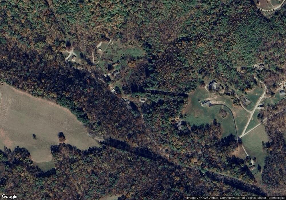
Map
Nearby Homes
- 5780 Lost Mountain Rd
- 5464 Ridgelea Estates Dr
- 5671 Split Rail Ln
- 6878 Mount Chestnut Rd
- 8109 Winterwood Trail
- 0 Twelve Oclock Knob Rd
- 7031 Crown Rd
- 7524 Autumn Park Dr
- 7141 Bent Mountain Rd
- 7901 Cedar Edge Rd
- 7232 Carriage Hills Dr
- 7220 Nandina Dr
- 7908 Forest Creek Dr
- 7236 Nandina Dr
- 7248 Carriage Hills Dr
- 7432 Old Mill Plantation Dr
- 7442 Old Mill Plantation Dr
- 1624 Sunberry Cir
- 8340 Poplar Springs Ln
- 7629 Nandina Dr
- 5448 Canyon Rd
- 5421 Levi Rd
- 5426 Canyon Rd
- 5394 Canyon Rd
- 5385 Bearing Rd
- 5366 Bearing Rd
- 5384 Canyon Rd
- 5374 Canyon Rd
- 5360 Bearing Rd
- 5378 Levi Rd
- 5353 Levi Rd
- 4738 Twelve Oclock Knob Rd
- 5215 Bearing Rd
- 4720 Twelve Oclock Knob Rd
- 4742 Twelve Oclock Knob Rd
- 0 Country Ln
- 4730 Twelve Oclock Knob Rd
- 0 Country Ln
- 5561 Country Ln
- 0 Country Ln
Your Personal Tour Guide
Ask me questions while you tour the home.