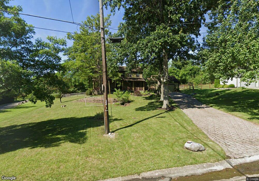
5469 Falcon Ln West Chester, OH 45069
West Chester Township NeighborhoodEstimated Value: $447,000 - $513,000
4
Beds
3
Baths
3,020
Sq Ft
$160/Sq Ft
Est. Value
About This Home
This home is located at 5469 Falcon Ln, West Chester, OH 45069 and is currently estimated at $483,883, approximately $160 per square foot. 5469 Falcon Ln is a home located in Butler County with nearby schools including Freedom Elementary School, Lakota Ridge Junior School, and Lakota West High School.
Ownership History
Date
Name
Owned For
Owner Type
Purchase Details
Closed on
Aug 23, 2010
Sold by
Buchholz Nancy S and Buchholz Robert H
Bought by
Harold Elizabeth M and Harold Geoffrey M
Current Estimated Value
Home Financials for this Owner
Home Financials are based on the most recent Mortgage that was taken out on this home.
Original Mortgage
$211,200
Interest Rate
4.49%
Mortgage Type
New Conventional
Create a Home Valuation Report for This Property
The Home Valuation Report is an in-depth analysis detailing your home's value as well as a comparison with similar homes in the area
Home Values in the Area
Average Home Value in this Area
Purchase History
| Date | Buyer | Sale Price | Title Company |
|---|---|---|---|
| Harold Elizabeth M | $264,000 | None Available |
Source: Public Records
Mortgage History
| Date | Status | Borrower | Loan Amount |
|---|---|---|---|
| Closed | Harold Elizabeth M | $211,200 |
Source: Public Records
Tax History Compared to Growth
Tax History
| Year | Tax Paid | Tax Assessment Tax Assessment Total Assessment is a certain percentage of the fair market value that is determined by local assessors to be the total taxable value of land and additions on the property. | Land | Improvement |
|---|---|---|---|---|
| 2024 | $5,776 | $139,980 | $17,950 | $122,030 |
| 2023 | $5,735 | $148,010 | $17,950 | $130,060 |
| 2022 | $5,385 | $96,610 | $17,950 | $78,660 |
| 2021 | $4,897 | $92,860 | $17,950 | $74,910 |
| 2020 | $5,014 | $92,860 | $17,950 | $74,910 |
| 2019 | $7,914 | $82,580 | $16,450 | $66,130 |
| 2018 | $4,676 | $82,580 | $16,450 | $66,130 |
| 2017 | $4,746 | $82,580 | $16,450 | $66,130 |
| 2016 | $4,596 | $75,090 | $16,450 | $58,640 |
| 2015 | $4,590 | $75,090 | $16,450 | $58,640 |
| 2014 | $5,198 | $75,090 | $16,450 | $58,640 |
| 2013 | $5,198 | $82,690 | $16,450 | $66,240 |
Source: Public Records
Map
Nearby Homes
- 7213 Quail Run Dr
- 5577 Dove Ln
- 5241 Hamilton Mason Rd
- 7392 Wheatland Meadow Ct
- 7281 Cinnamon Woods Dr
- 0 Walnut Creek Dr Unit 1850153
- 5663 E Senour Dr
- 5677 E Senour Dr
- 5716 E Senour Dr
- 7229 W Hartford Ct
- 7712 Whitehall Cir E
- 7690 Wharton Ct
- 5146 Mountview Ct
- 6993 Clawson Ridge Ct
- 7644 Eleventh Hour Ln
- 5671 Tylersville Rd
- 5168 Grandin Ridge Dr
- 5856 Ferdinand Dr
- 5108 Grandin Ridge Dr
- 7077 Parliament Place
- 5459 Falcon Ln
- 7262 Sweetwater Branch
- 7281 Sweetwater Branch
- 5449 Falcon Ln
- 7286 Sweetwater Branch
- 5476 Falcon Ln
- 5439 Falcon Ln
- 7297 Quail Run Dr
- 5499 Falcon Ln
- 5389 Hamilton Mason Rd
- 5382 Tasselberry Dr
- 5498 Falcon Ln
- 7307 Quail Run Dr
- 7322 Sweetwater Branch
- 7249 Quail Run Dr
- 7320 Tepperwood Dr
- 5431 Falcon Ln
- 5436 Falcon Ln
- 5428 Falcon Ln
- 5372 Tasselberry Dr