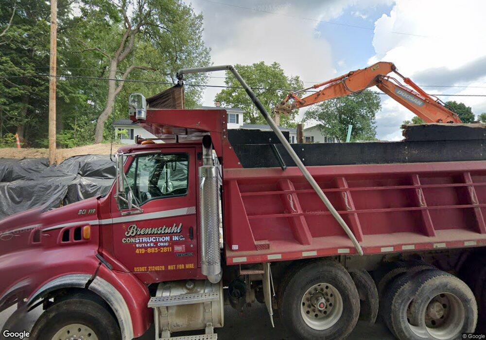
5469 State Route 13 Bellville, OH 44813
Estimated Value: $442,000 - $519,000
3
Beds
3
Baths
2,884
Sq Ft
$165/Sq Ft
Est. Value
About This Home
This home is located at 5469 State Route 13, Bellville, OH 44813 and is currently estimated at $475,458, approximately $164 per square foot. 5469 State Route 13 is a home located in Richland County with nearby schools including Clear Fork High School.
Ownership History
Date
Name
Owned For
Owner Type
Purchase Details
Closed on
May 12, 2006
Sold by
Pittenger Chet W and Pittenger Emily J
Bought by
Bushong William L and Bushong Lisa Anne
Current Estimated Value
Home Financials for this Owner
Home Financials are based on the most recent Mortgage that was taken out on this home.
Original Mortgage
$210,600
Interest Rate
6.39%
Mortgage Type
Purchase Money Mortgage
Create a Home Valuation Report for This Property
The Home Valuation Report is an in-depth analysis detailing your home's value as well as a comparison with similar homes in the area
Home Values in the Area
Average Home Value in this Area
Purchase History
| Date | Buyer | Sale Price | Title Company |
|---|---|---|---|
| Bushong William L | $234,000 | Chicago Title |
Source: Public Records
Mortgage History
| Date | Status | Borrower | Loan Amount |
|---|---|---|---|
| Closed | Bushong William L | $210,600 |
Source: Public Records
Tax History Compared to Growth
Tax History
| Year | Tax Paid | Tax Assessment Tax Assessment Total Assessment is a certain percentage of the fair market value that is determined by local assessors to be the total taxable value of land and additions on the property. | Land | Improvement |
|---|---|---|---|---|
| 2024 | $4,085 | $88,900 | $14,850 | $74,050 |
| 2023 | $4,085 | $88,900 | $14,850 | $74,050 |
| 2022 | $3,681 | $69,950 | $13,060 | $56,890 |
| 2021 | $3,882 | $69,950 | $13,060 | $56,890 |
| 2020 | $3,836 | $69,950 | $13,060 | $56,890 |
| 2019 | $3,525 | $59,390 | $11,060 | $48,330 |
| 2018 | $3,501 | $59,390 | $11,060 | $48,330 |
| 2017 | $3,517 | $59,390 | $11,060 | $48,330 |
| 2016 | $3,643 | $67,690 | $16,310 | $51,380 |
| 2015 | $3,643 | $67,690 | $16,310 | $51,380 |
| 2014 | $3,499 | $67,690 | $16,310 | $51,380 |
| 2012 | $1,701 | $67,690 | $16,310 | $51,380 |
Source: Public Records
Map
Nearby Homes
- 325 S Main St
- 32 Betty Dr
- 70 Betty Dr
- 74 E Durbin Ave
- 5800 Ankneytown Rd
- 0 Main St Unit 9066039
- 179 Dickerson Ave
- 159 Bell St
- 343 W Durbin Ave
- 76 Church St
- 122 Church St
- 161 Church St
- 98 School St
- 0 Mill Rd
- 43 Bell St
- 34 Fitting Ave
- 559 Poorman Rd
- 598 Bollinger Rd
- 361 Honey Creek Rd E
- 119 Yorkshire Rd
- 439 S Main St
- 448 Robert Place
- 440 Robert Place
- 440 Main St
- 17 Hamilton Dr
- 23 Hamilton Dr
- 0 Robert Place
- 443 Robert Place
- 452 Robert Place
- 29 Hamilton Dr
- 435 Robert Place
- 434 Main St
- 427 Main St
- 451 Robert Place
- 461 Robert Place
- 16 Hamilton Dr
- 19 Valley Crest Dr Unit 21
- 300 S Main St Unit 300
- 22 Hamilton Dr
- 511 Main St
