5469 Stone Brook Dr Iron Station, NC 28080
Estimated Value: $285,000 - $317,000
3
Beds
3
Baths
1,680
Sq Ft
$178/Sq Ft
Est. Value
About This Home
This home is located at 5469 Stone Brook Dr, Iron Station, NC 28080 and is currently estimated at $299,000, approximately $177 per square foot. 5469 Stone Brook Dr is a home located in Lincoln County with nearby schools including St. James Elementary School, East Lincoln Middle School, and East Lincoln High School.
Ownership History
Date
Name
Owned For
Owner Type
Purchase Details
Closed on
Jun 5, 2025
Sold by
Aldridge Clarence P and Aldridge Barbara
Bought by
Aldridge Clarence P and Aldridge Barbara
Current Estimated Value
Home Financials for this Owner
Home Financials are based on the most recent Mortgage that was taken out on this home.
Original Mortgage
$185,185
Outstanding Balance
$185,185
Interest Rate
5.94%
Mortgage Type
FHA
Estimated Equity
$113,815
Create a Home Valuation Report for This Property
The Home Valuation Report is an in-depth analysis detailing your home's value as well as a comparison with similar homes in the area
Home Values in the Area
Average Home Value in this Area
Purchase History
| Date | Buyer | Sale Price | Title Company |
|---|---|---|---|
| Aldridge Clarence P | -- | None Listed On Document |
Source: Public Records
Mortgage History
| Date | Status | Borrower | Loan Amount |
|---|---|---|---|
| Open | Aldridge Clarence P | $185,185 | |
| Previous Owner | Aldridge Clarence P | $157,200 |
Source: Public Records
Tax History Compared to Growth
Tax History
| Year | Tax Paid | Tax Assessment Tax Assessment Total Assessment is a certain percentage of the fair market value that is determined by local assessors to be the total taxable value of land and additions on the property. | Land | Improvement |
|---|---|---|---|---|
| 2025 | $1,568 | $232,615 | $25,288 | $207,327 |
| 2024 | $1,530 | $232,615 | $25,288 | $207,327 |
| 2023 | $1,520 | $232,615 | $25,288 | $207,327 |
| 2022 | $1,108 | $134,430 | $20,830 | $113,600 |
| 2020 | -- | $134,430 | $20,830 | $113,600 |
| 2019 | -- | $134,430 | $20,830 | $113,600 |
| 2018 | -- | $113,298 | $19,367 | $93,931 |
| 2017 | -- | $113,298 | $19,367 | $93,931 |
| 2016 | -- | $113,298 | $19,367 | $93,931 |
| 2015 | -- | $113,298 | $19,367 | $93,931 |
| 2014 | -- | $0 | $0 | $0 |
Source: Public Records
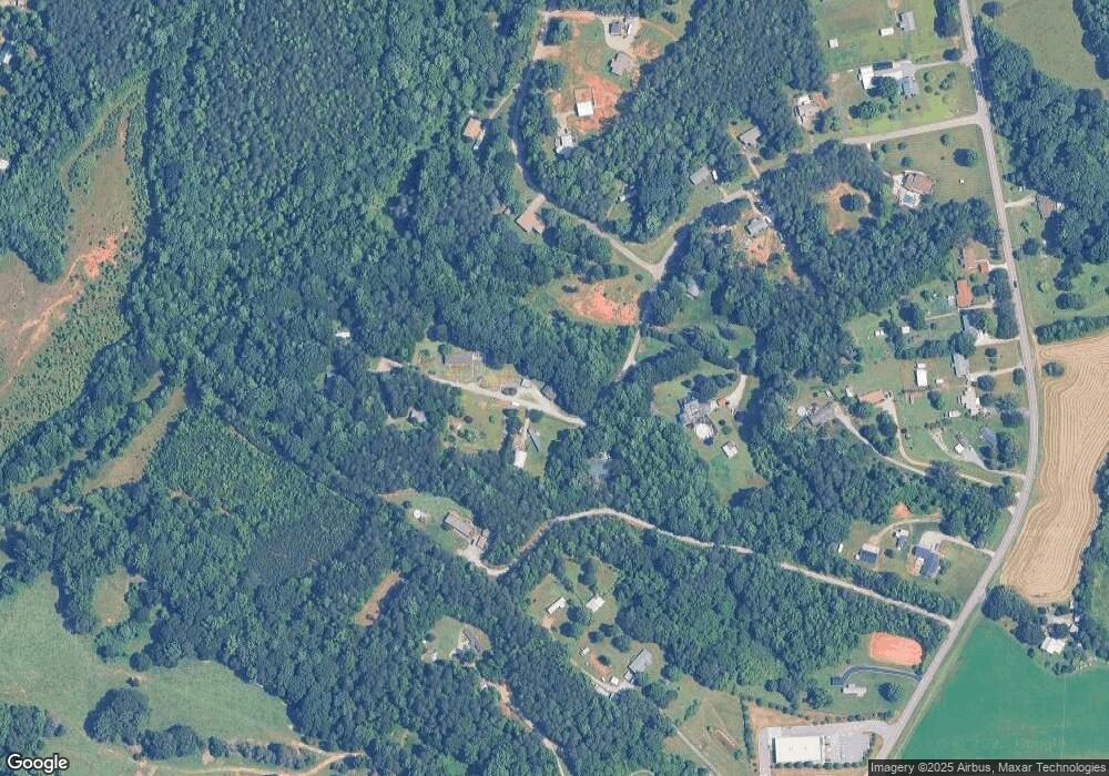
Map
Nearby Homes
- 0000 Chase Dr Unit 3
- 812 Trinity Ln
- 132 Huncoat Hollow Ln
- 5045 Amity Ln Unit 12
- 29 Planters Row Rd Unit 29
- 27 Planters Row Rd Unit 27
- 25 Planters Row Rd
- 22 Planters Row Rd
- 28 Planters Row Rd Unit 28
- 34 Planters Row Rd Unit 34
- 26 Planters Row Rd Unit 26
- 32 Planters Row Rd Unit 32
- 163 Planters Row Rd
- 5406 Christopher Rd
- 5345 Christopher Rd
- 0 Great Dane Ave Unit CAR4157929
- 5843 Dachshund St
- 0 Lhasa Apso Ln Unit CAR4157960
- 0 Lhasa Apso Ln Unit CAR4157956
- Lot 6 Walnut Ridge Rd Unit 6
- 5476 Stone Brook Dr
- 5480 Stone Brook Dr
- 5445 Stone Brook Dr
- 5442 Stone Brook Dr
- 5504 Stone Brook Dr
- 155 Amity Church Rd
- 369 Cedar Creek Ct
- 5536 Stone Brook Dr
- 5436 Stone Brook Dr
- 394 Cedar Creek Ct
- 5563 Stone Brook Dr
- 5563 Stone Brook Dr Unit 34
- 5568 Stone Brook Dr
- 189 Amity Church Rd
- 395 Cedar Creek Ct
- 199 Amity Church Rd
- 5575 Stone Brook Dr
- 418 Cedar Creek Ct
- 5597 Stone Brook Dr
- 235 Amity Church Rd