5469 W 101st Ave Crown Point, IN 46307
Estimated Value: $370,000 - $624,927
3
Beds
2
Baths
2,390
Sq Ft
$225/Sq Ft
Est. Value
About This Home
This home is located at 5469 W 101st Ave, Crown Point, IN 46307 and is currently estimated at $538,732, approximately $225 per square foot. 5469 W 101st Ave is a home located in Lake County with nearby schools including Timothy Ball Elementary School, Robert Taft Middle School, and Crown Point High School.
Ownership History
Date
Name
Owned For
Owner Type
Purchase Details
Closed on
Aug 23, 2019
Sold by
Stover Charles E
Bought by
Stover Charles E and Stover Breanne E
Current Estimated Value
Home Financials for this Owner
Home Financials are based on the most recent Mortgage that was taken out on this home.
Original Mortgage
$205,000
Interest Rate
3.7%
Mortgage Type
New Conventional
Purchase Details
Closed on
Mar 9, 2012
Sold by
Stover Charles Edward and Stover Lisa
Bought by
Stover Charles E
Create a Home Valuation Report for This Property
The Home Valuation Report is an in-depth analysis detailing your home's value as well as a comparison with similar homes in the area
Home Values in the Area
Average Home Value in this Area
Purchase History
| Date | Buyer | Sale Price | Title Company |
|---|---|---|---|
| Stover Charles E | -- | Meridian Title Corp | |
| Stover Charles E | -- | None Available |
Source: Public Records
Mortgage History
| Date | Status | Borrower | Loan Amount |
|---|---|---|---|
| Closed | Stover Charles E | $205,000 |
Source: Public Records
Tax History Compared to Growth
Tax History
| Year | Tax Paid | Tax Assessment Tax Assessment Total Assessment is a certain percentage of the fair market value that is determined by local assessors to be the total taxable value of land and additions on the property. | Land | Improvement |
|---|---|---|---|---|
| 2024 | $11,240 | $554,200 | $65,000 | $489,200 |
| 2023 | $5,442 | $528,900 | $65,000 | $463,900 |
| 2022 | $5,741 | $505,400 | $65,000 | $440,400 |
| 2021 | $5,116 | $474,800 | $63,800 | $411,000 |
| 2020 | $5,139 | $453,300 | $63,800 | $389,500 |
| 2019 | $5,221 | $450,500 | $63,800 | $386,700 |
| 2018 | $5,393 | $440,500 | $63,800 | $376,700 |
| 2017 | $5,009 | $406,200 | $63,800 | $342,400 |
| 2016 | $4,833 | $390,300 | $63,800 | $326,500 |
| 2014 | $4,645 | $398,700 | $63,800 | $334,900 |
| 2013 | $3,023 | $271,000 | $63,800 | $207,200 |
Source: Public Records
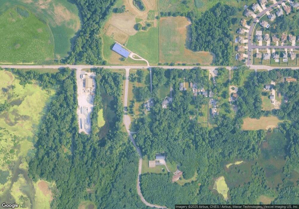
Map
Nearby Homes
- 5496 W 107th Ct
- 1667 Chalone Ct
- 10729 Hanley St
- 10710 Porter St
- 3725 W 105th Ave
- 10813 Lane St
- 3604 W 104th Place
- 10735 Sherman St
- 7830 W 106th Ln
- 7770 W 106th Ln
- 10463 Morse Place
- 9251 Clark Place
- 10524 Morse Place
- 10542 Morse Place
- 10650 Morse Place
- 10542 Morse Place
- 10568 Morse Place
- 5012 W 92nd Ave
- 10588 Morse Place
- 10414 Whitney Place
- 5311 W 101st Ave
- 5307 W 101st Ave
- 5253 W 101st Ave
- 5303 W 101st Ave
- 5213 W 101st Ave
- 5213 W 101st Ave
- 5209 W 101st Ave
- 5555 W 101st Ave
- 5555 W 101st Ave
- 5555 W 101st Ave
- 5205 W 101st Ave
- 5208 W 101st Ave
- 5109 W 101st Ave
- 10070 Mathews St
- 10050 Mathews St
- 10040 Mathews St
- 5105 W 101st Ave
- 10044 Mathews St
- 5095 W 100th Ln
- 5097 W 100th Ln