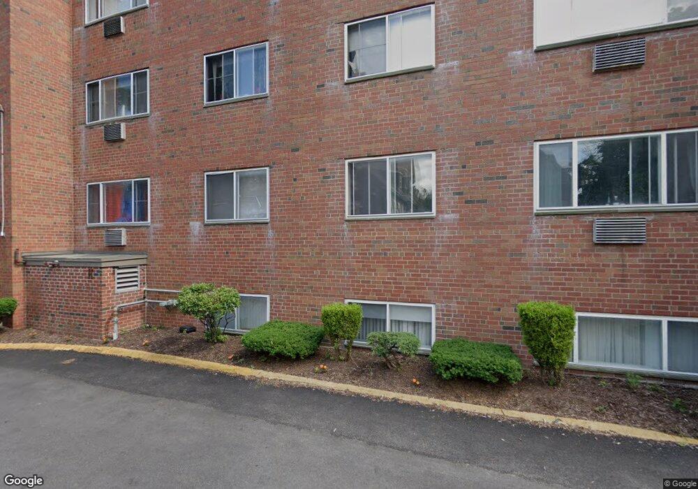
547 Adams St Unit 22 Dorchester, MA 02122
Saint Marks NeighborhoodEstimated Value: $373,000 - $454,000
2
Beds
1
Bath
686
Sq Ft
$591/Sq Ft
Est. Value
About This Home
This home is located at 547 Adams St Unit 22, Dorchester, MA 02122 and is currently estimated at $405,097, approximately $590 per square foot. 547 Adams St Unit 22 is a home located in Suffolk County with nearby schools including Neighborhood House Charter School and Helen Y. Davis Leadership Academy Charter Public School.
Ownership History
Date
Name
Owned For
Owner Type
Purchase Details
Closed on
Nov 1, 2011
Sold by
Zarella Grace E Est
Bought by
Do Ha
Current Estimated Value
Home Financials for this Owner
Home Financials are based on the most recent Mortgage that was taken out on this home.
Original Mortgage
$76,000
Outstanding Balance
$52,049
Interest Rate
4.11%
Mortgage Type
Purchase Money Mortgage
Estimated Equity
$353,048
Create a Home Valuation Report for This Property
The Home Valuation Report is an in-depth analysis detailing your home's value as well as a comparison with similar homes in the area
Home Values in the Area
Average Home Value in this Area
Purchase History
| Date | Buyer | Sale Price | Title Company |
|---|---|---|---|
| Do Ha | $95,000 | -- |
Source: Public Records
Mortgage History
| Date | Status | Borrower | Loan Amount |
|---|---|---|---|
| Open | Do Ha | $76,000 |
Source: Public Records
Tax History Compared to Growth
Tax History
| Year | Tax Paid | Tax Assessment Tax Assessment Total Assessment is a certain percentage of the fair market value that is determined by local assessors to be the total taxable value of land and additions on the property. | Land | Improvement |
|---|---|---|---|---|
| 2025 | $4,598 | $397,100 | $0 | $397,100 |
| 2024 | $4,103 | $376,400 | $0 | $376,400 |
| 2023 | $3,923 | $365,300 | $0 | $365,300 |
| 2022 | $3,749 | $344,600 | $0 | $344,600 |
| 2021 | $3,570 | $334,600 | $0 | $334,600 |
| 2020 | $2,508 | $237,500 | $0 | $237,500 |
| 2019 | $2,362 | $224,100 | $0 | $224,100 |
| 2018 | $2,175 | $207,500 | $0 | $207,500 |
| 2017 | $2,016 | $190,400 | $0 | $190,400 |
| 2016 | $1,958 | $178,000 | $0 | $178,000 |
| 2015 | $1,927 | $159,100 | $0 | $159,100 |
| 2014 | $1,837 | $146,000 | $0 | $146,000 |
Source: Public Records
Map
Nearby Homes
- 543 Adams St Unit 24
- 51 Florida St Unit 3
- 80-84 Shepton St Unit 80-3
- 41 King St Unit 1
- 61 Shepton St
- 54 Msgr Patrick j Lydon Way
- 45 Msgr Patrick j Lydon Way
- 37 Msgr Patrick j Lydon Way
- 334 Centre St Unit 101
- 334 Centre St Unit 2
- 17 Lafield St Unit 2
- 23 Roseland St
- 18 Santuit St
- 9-11 Adanac Terrace
- 20 Leslie St
- 96 King St Unit 1
- 104 King St Unit 2
- 108 King St Unit 3
- 28 Dix St Unit 3
- 34 Dix St Unit 3
- 547 Adams St Unit 32
- 547 Adams St Unit 31
- 547 Adams St Unit 21
- 547 Adams St Unit 12
- 547 Adams St Unit 11
- 547 Adams St Unit 2
- 547 Adams St Unit 1
- 547 Adams St Unit Twelve
- 547 Adams St
- 547 Adams St Unit 547
- 549 Adams St Unit 35
- 549 Adams St Unit 34
- 549 Adams St Unit 25
- 549 Adams St Unit 24
- 549 Adams St Unit 15
- 549 Adams St Unit 14
- 549 Adams St Unit 5
- 549 Adams St Unit 4
- 549 Adams St Unit 24,2
- 33 Mallet St