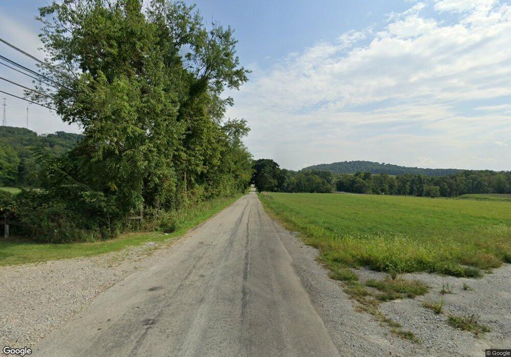
547 Bell Point Rd Apollo, PA 15613
Estimated Value: $69,829 - $284,000
Studio
--
Bath
1,642
Sq Ft
$120/Sq Ft
Est. Value
About This Home
This home is located at 547 Bell Point Rd, Apollo, PA 15613 and is currently estimated at $197,707, approximately $120 per square foot. 547 Bell Point Rd is a home located in Westmoreland County with nearby schools including Kiski Area High School.
Ownership History
Date
Name
Owned For
Owner Type
Purchase Details
Closed on
May 12, 2022
Sold by
C & I Resources Company
Bought by
Duc Hunter Llc
Current Estimated Value
Create a Home Valuation Report for This Property
The Home Valuation Report is an in-depth analysis detailing your home's value as well as a comparison with similar homes in the area
Home Values in the Area
Average Home Value in this Area
Purchase History
| Date | Buyer | Sale Price | Title Company |
|---|---|---|---|
| Duc Hunter Llc | $60,968 | None Listed On Document | |
| Limestone Spring Acquisitions Ii Llc | $152,420 | None Listed On Document | |
| Lsc Energy Holdings Llc | $91,452 | None Listed On Document |
Source: Public Records
Tax History
| Year | Tax Paid | Tax Assessment Tax Assessment Total Assessment is a certain percentage of the fair market value that is determined by local assessors to be the total taxable value of land and additions on the property. | Land | Improvement |
|---|---|---|---|---|
| 2025 | $2,444 | $17,500 | $1,890 | $15,610 |
| 2024 | $2,308 | $17,500 | $1,890 | $15,610 |
| 2023 | $2,092 | $17,500 | $1,890 | $15,610 |
| 2022 | $2,040 | $17,500 | $1,890 | $15,610 |
| 2021 | $2,041 | $17,500 | $1,890 | $15,610 |
| 2020 | $2,035 | $17,500 | $1,890 | $15,610 |
| 2019 | $2,026 | $17,500 | $1,890 | $15,610 |
| 2018 | $1,991 | $17,500 | $1,890 | $15,610 |
| 2017 | $1,939 | $17,500 | $1,890 | $15,610 |
| 2016 | $1,906 | $17,500 | $1,890 | $15,610 |
| 2015 | $1,906 | $17,500 | $1,890 | $15,610 |
| 2014 | $1,896 | $17,500 | $1,890 | $15,610 |
Source: Public Records
Map
Nearby Homes
- 107 Moglia Ln
- 115 Truxall Rd
- 4416 State Route 819
- 225 Kochka Dr
- 623 Marco Rd
- 428 Meadows Dr
- 138 Beaver Run Rd
- 460 Beaver Run Rd
- 311 & 313 N 2nd St
- 4765 Pennsylvania 981
- Lot 10 Beulah Church Rd
- 140 High St
- 309 Whitesell St
- 384 Northgate Dr Unit T
- 380 Northgate Dr Unit E
- 380 Northgate Dr Unit D
- 107 High St
- 115 Acadia Ln
- 211 Old Mill Rd
- 223 Old Mill Rd
- 693 Bell Point Rd
- 526 Bell Point Rd
- 590 Bell Point Rd
- 594 Bell Point Rd
- 507 Bell Point Rd
- 2093 Coal Hollow Rd
- 2006 Coal Hollow Rd
- 495 Bell Point Rd
- 649 Bell Point Rd
- 847 Muffley Hollow Rd
- 473 Bell Point Rd
- 473 Bell Point Rd
- 473 Bell Point Rd
- T-961 Coal Hollow Rd
- 308 State Route 819
- 2040 Coal Hollow Rd
- 000 Coal Hollow Rd
- 252 Millstone Rd
- 252 Millstone Rd
- 449 Bell Point Rd
Your Personal Tour Guide
Ask me questions while you tour the home.
