Estimated Value: $101,827 - $143,000
--
Bed
1
Bath
910
Sq Ft
$135/Sq Ft
Est. Value
About This Home
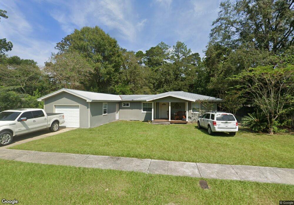
This home is located at 547 Cedar St Unit 7, Jesup, GA 31546 and is currently estimated at $122,957, approximately $135 per square foot. 547 Cedar St Unit 7 is a home located in Wayne County with nearby schools including Jesup Elementary School, Arthur Williams Middle School, and Wayne County High School.
Ownership History
Date
Name
Owned For
Owner Type
Purchase Details
Closed on
Sep 30, 2016
Sold by
Marian
Bought by
Hanning Timothy Blake
Current Estimated Value
Purchase Details
Closed on
May 31, 2012
Sold by
Pearson Rhonda
Bought by
Blocker Marian
Purchase Details
Closed on
Nov 1, 2004
Sold by
Blocker Marian P
Bought by
Pearson Rhonda
Purchase Details
Closed on
Jul 1, 1991
Bought by
Blocker Marian P
Purchase Details
Closed on
Jan 1, 1991
Purchase Details
Closed on
Aug 1, 1989
Purchase Details
Closed on
Sep 1, 1986
Purchase Details
Closed on
Jan 1, 1973
Create a Home Valuation Report for This Property
The Home Valuation Report is an in-depth analysis detailing your home's value as well as a comparison with similar homes in the area
Home Values in the Area
Average Home Value in this Area
Purchase History
| Date | Buyer | Sale Price | Title Company |
|---|---|---|---|
| Hanning Timothy Blake | $20,000 | -- | |
| Blocker Marian | -- | -- | |
| Pearson Rhonda | -- | -- | |
| Blocker Marian P | -- | -- | |
| -- | -- | -- | |
| -- | $32,000 | -- | |
| -- | $30,500 | -- | |
| -- | -- | -- |
Source: Public Records
Tax History Compared to Growth
Tax History
| Year | Tax Paid | Tax Assessment Tax Assessment Total Assessment is a certain percentage of the fair market value that is determined by local assessors to be the total taxable value of land and additions on the property. | Land | Improvement |
|---|---|---|---|---|
| 2024 | $1,010 | $33,015 | $3,505 | $29,510 |
| 2023 | $1,040 | $29,411 | $3,562 | $25,849 |
| 2022 | $765 | $24,287 | $3,562 | $20,725 |
| 2021 | $621 | $18,430 | $3,562 | $14,868 |
| 2020 | $643 | $18,430 | $3,562 | $14,868 |
| 2019 | $662 | $18,430 | $3,562 | $14,868 |
| 2018 | $662 | $18,430 | $3,562 | $14,868 |
| 2017 | $247 | $18,430 | $3,562 | $14,868 |
| 2016 | $607 | $20,271 | $3,562 | $16,709 |
| 2014 | $608 | $20,271 | $3,562 | $16,709 |
| 2013 | -- | $20,270 | $3,561 | $16,709 |
Source: Public Records
Map
Nearby Homes
- 00 U S 301
- 307 Cedar St
- 1312 E Plum St
- 774 E Plum St
- 301 U S 301
- 945 S Palm St
- 661 E Plum St
- 555 E Magnolia St
- 0 Us Hwy 341 Hwy S Unit 1651906
- 111 N Mahogany St
- 985 Seven Oaks Rd
- 658 E Walnut St
- 705 S Elm St
- 0 Us Hwy 341 S
- 241 S Elm Ln
- 805 Littlefield St
- 412 E Orange St
- 775 Catherine St
- 655 Littlefield St
- 1101 S Palm St
- 555 Cedar St
- 511 Cedar St
- 491 S Willow St
- 565 Cedar St
- 148 Mimosa Dr
- 477 S Willow St
- 162 Mimosa Dr
- 162 Mimosa Dr Unit 510 5
- 477 S Willow St
- 162 Mimosa Dr
- 597 Cedar St
- 178 Mimosa Dr
- 473 S Willow St
- 524 Cedar St
- 192 Mimosa Dr
- 498 S Willow St
- 512 Cedar St
- 486 S Willow St
- 175 Dogwood Extension
- 474 S Willow St